

This page shares flight plans and screen captures from a virtual round-the-world plane trip. The trip visited all continents and oceans of the world, major cities, landmarks, and world heritage sites.
This is Segment 13 of the thirteen segments of the trip. To go to the home page, or the previous or next page, click one of these text links.
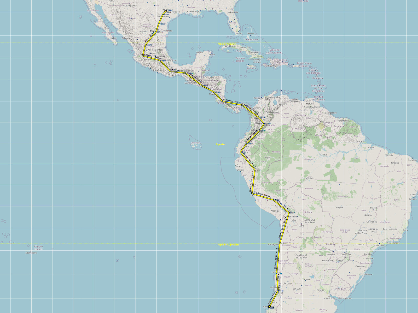
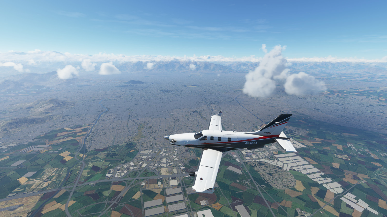
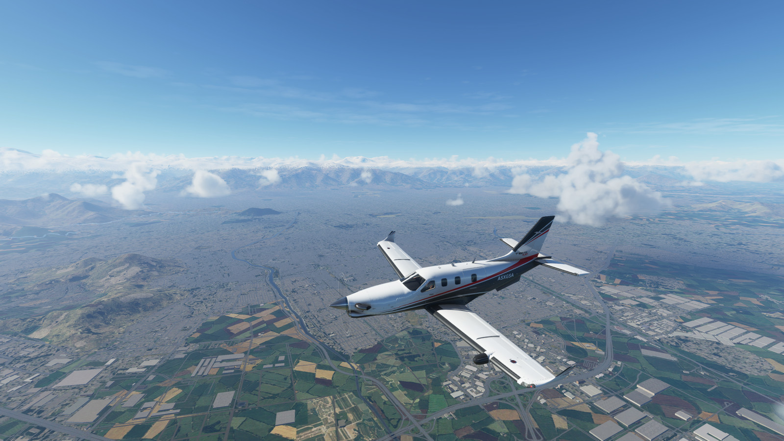
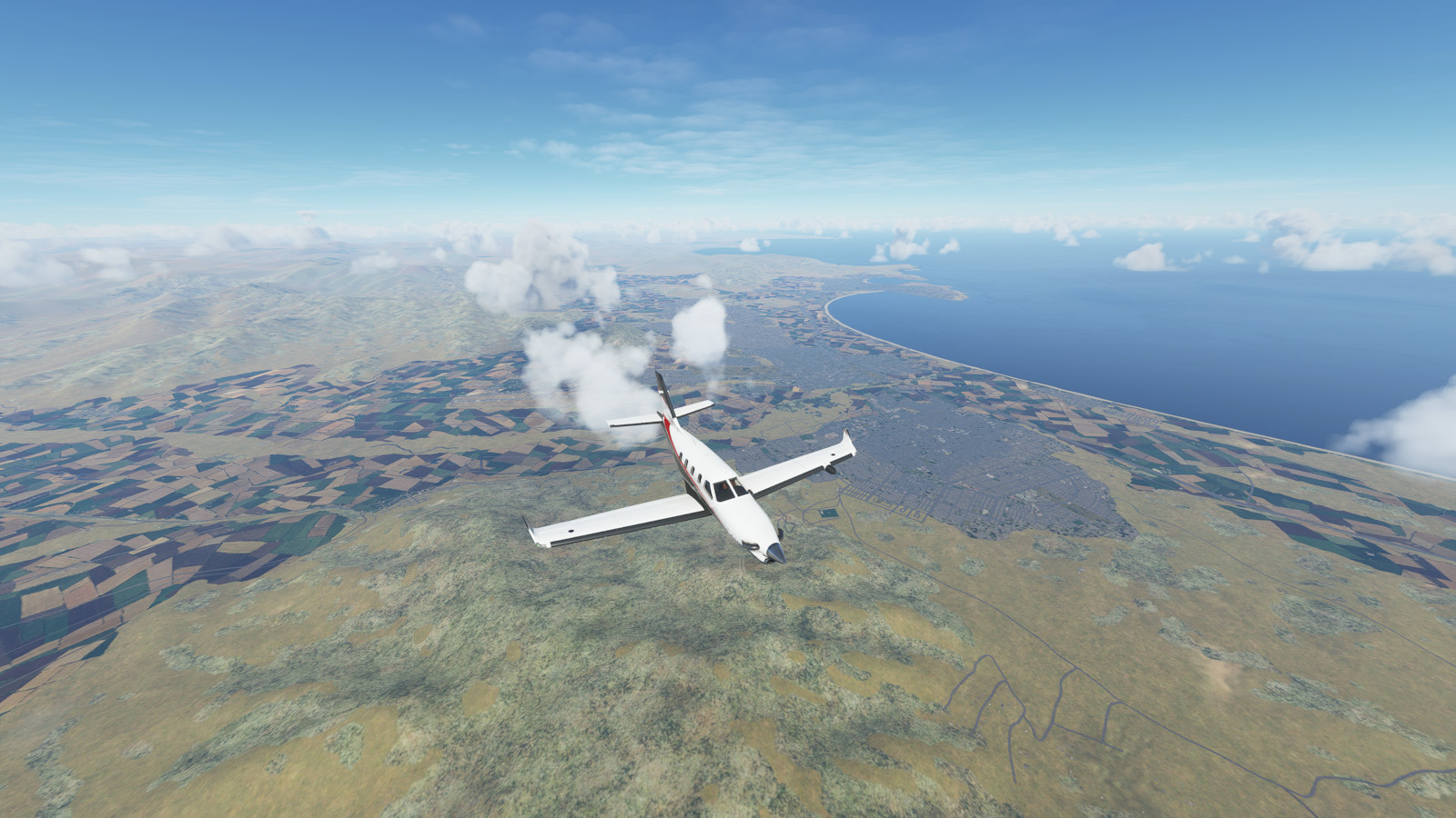
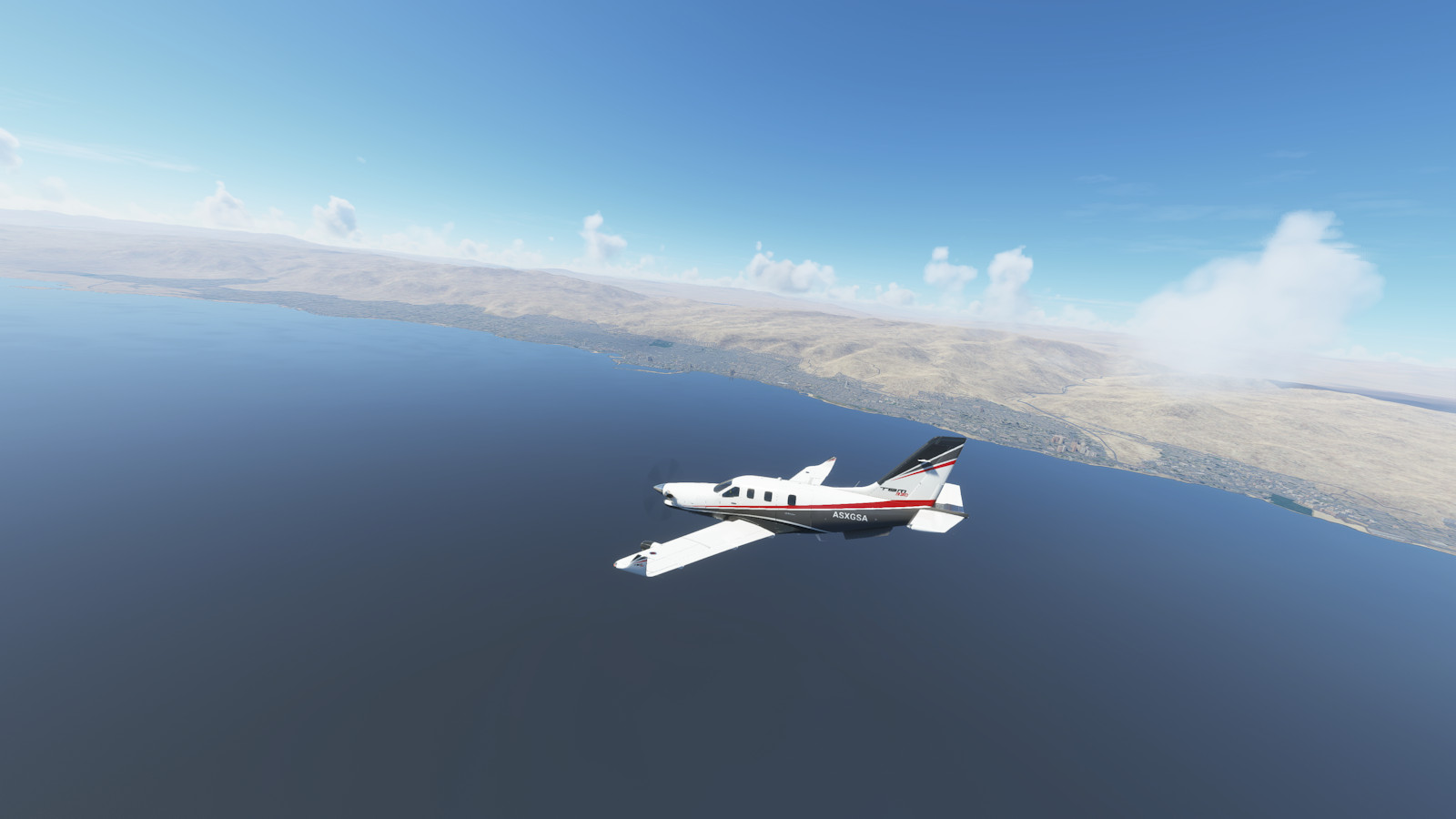
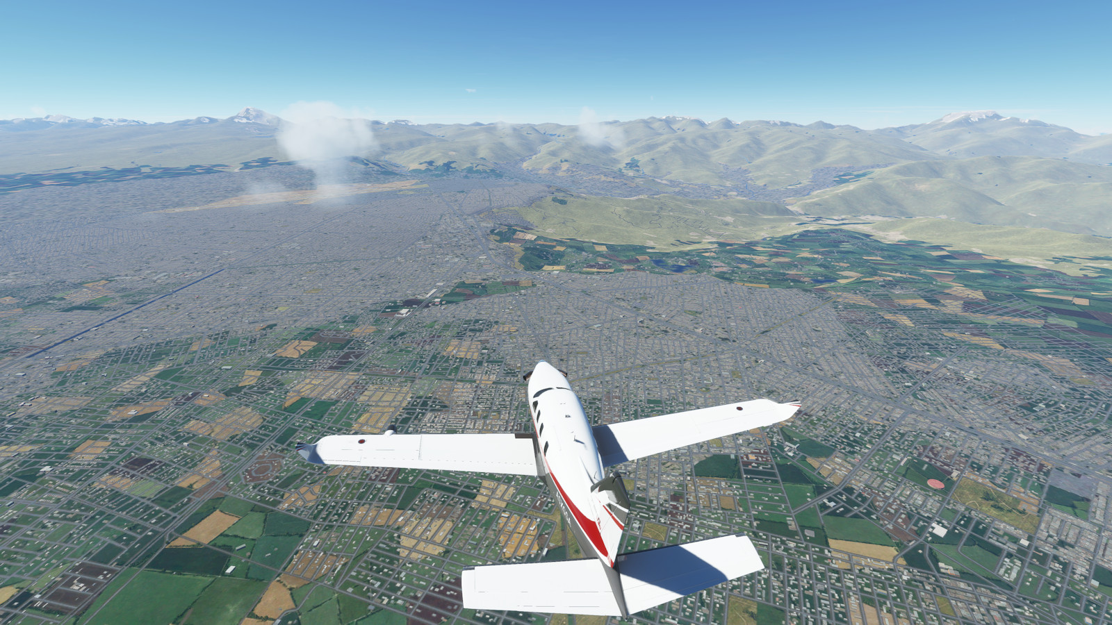
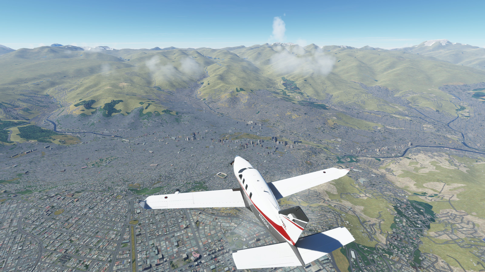
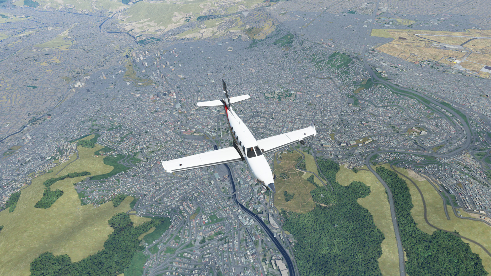
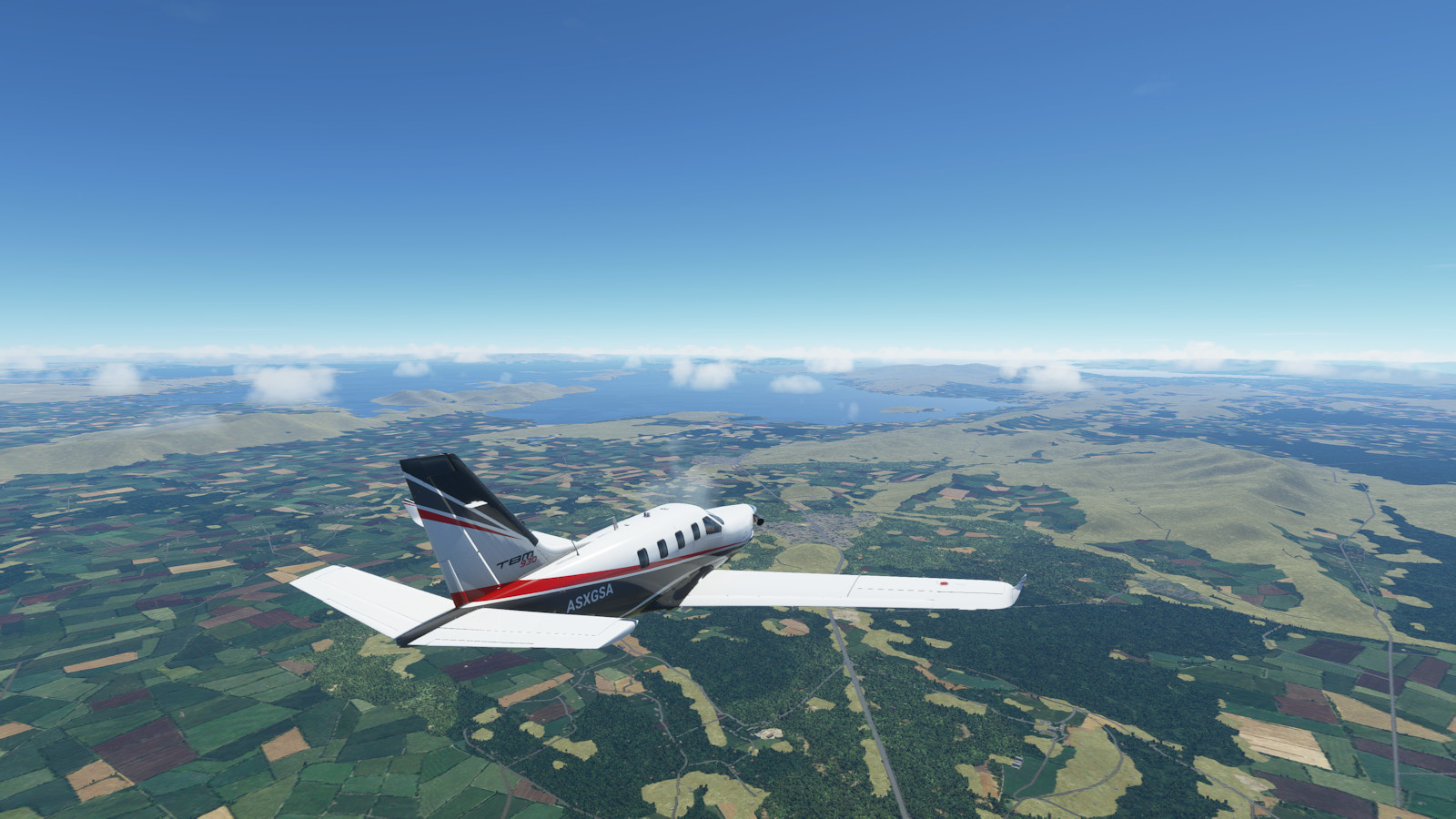
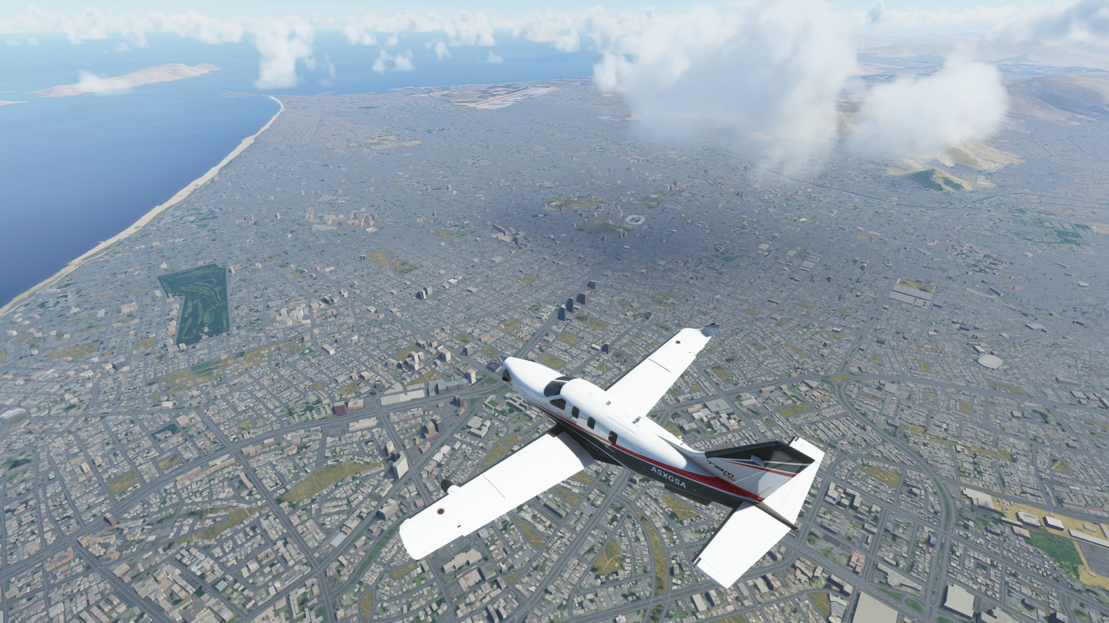
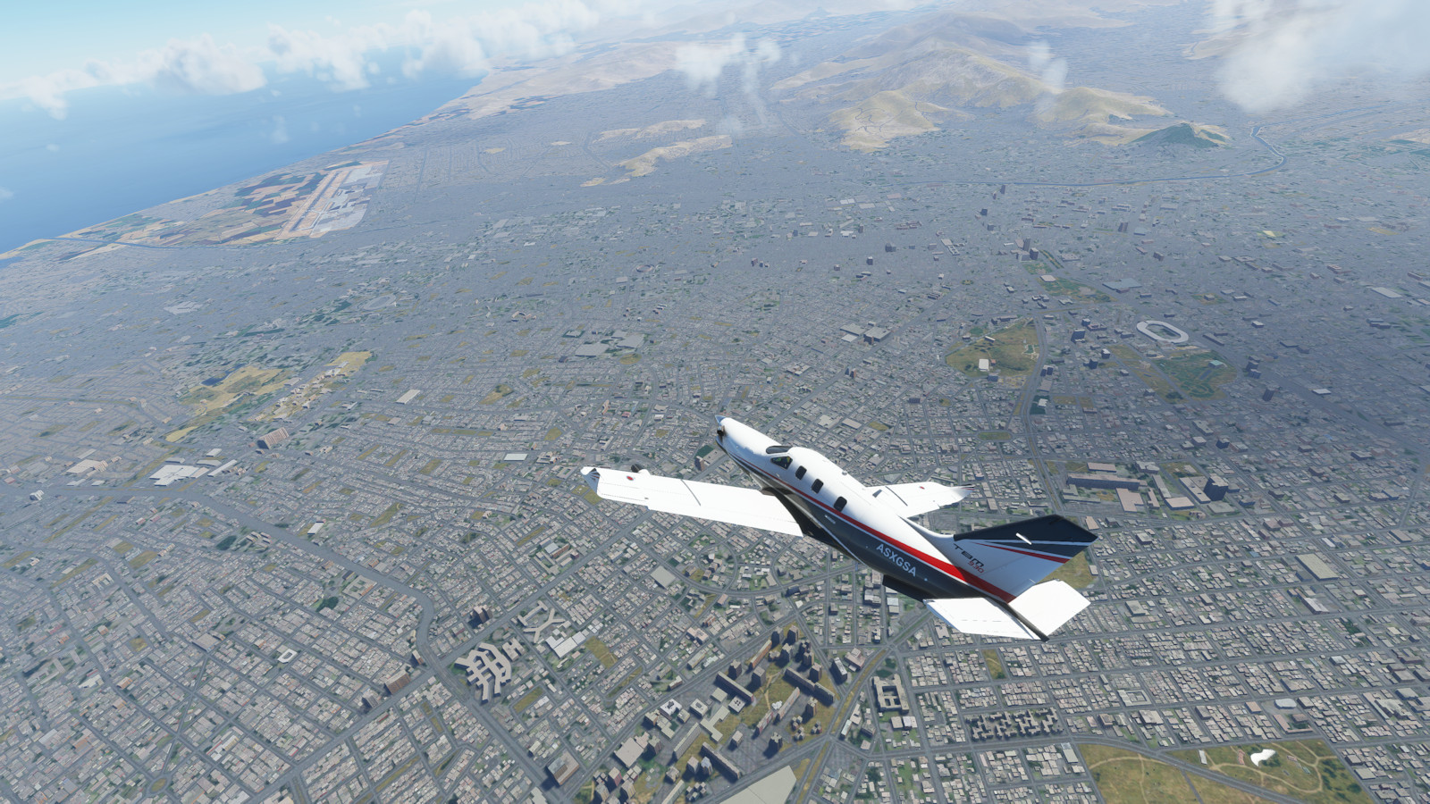
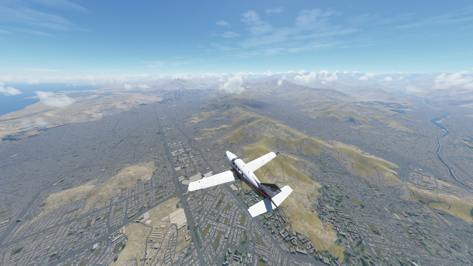
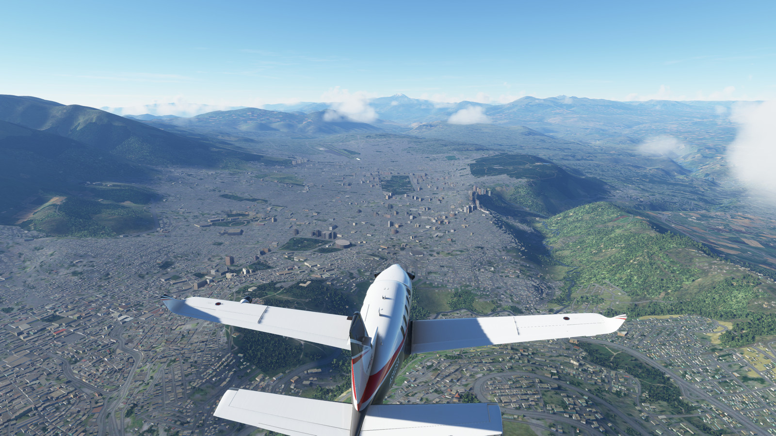
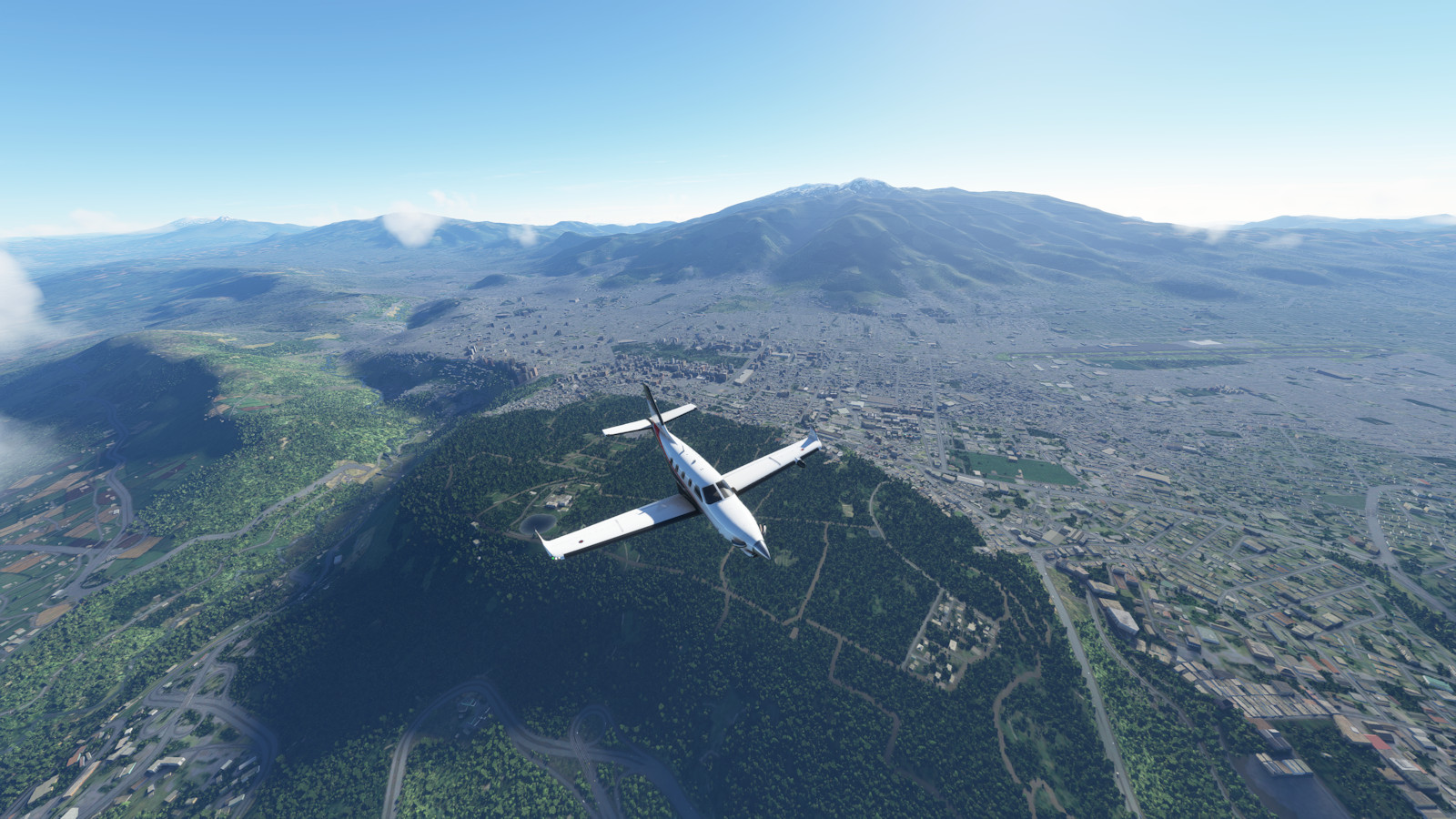
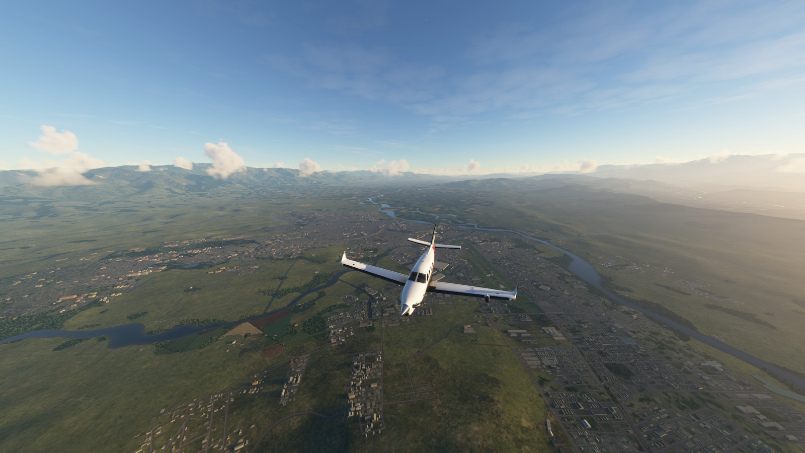
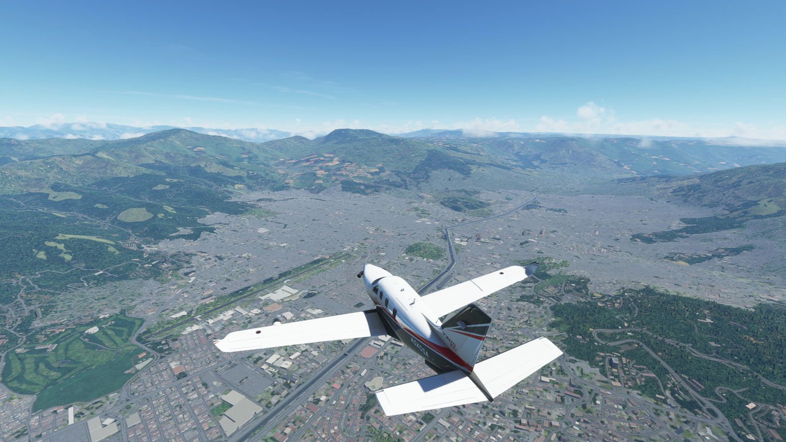
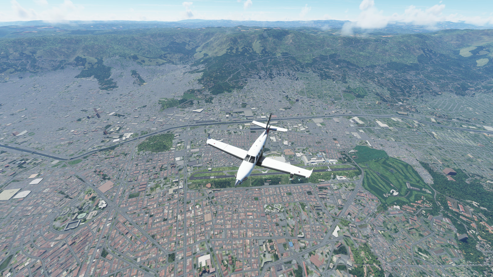
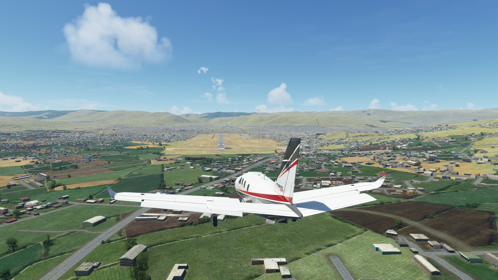
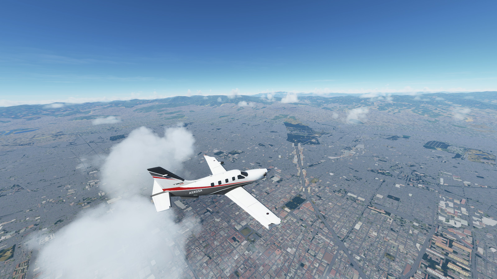
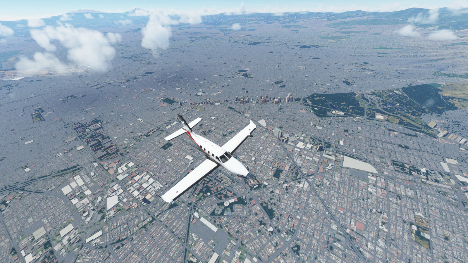
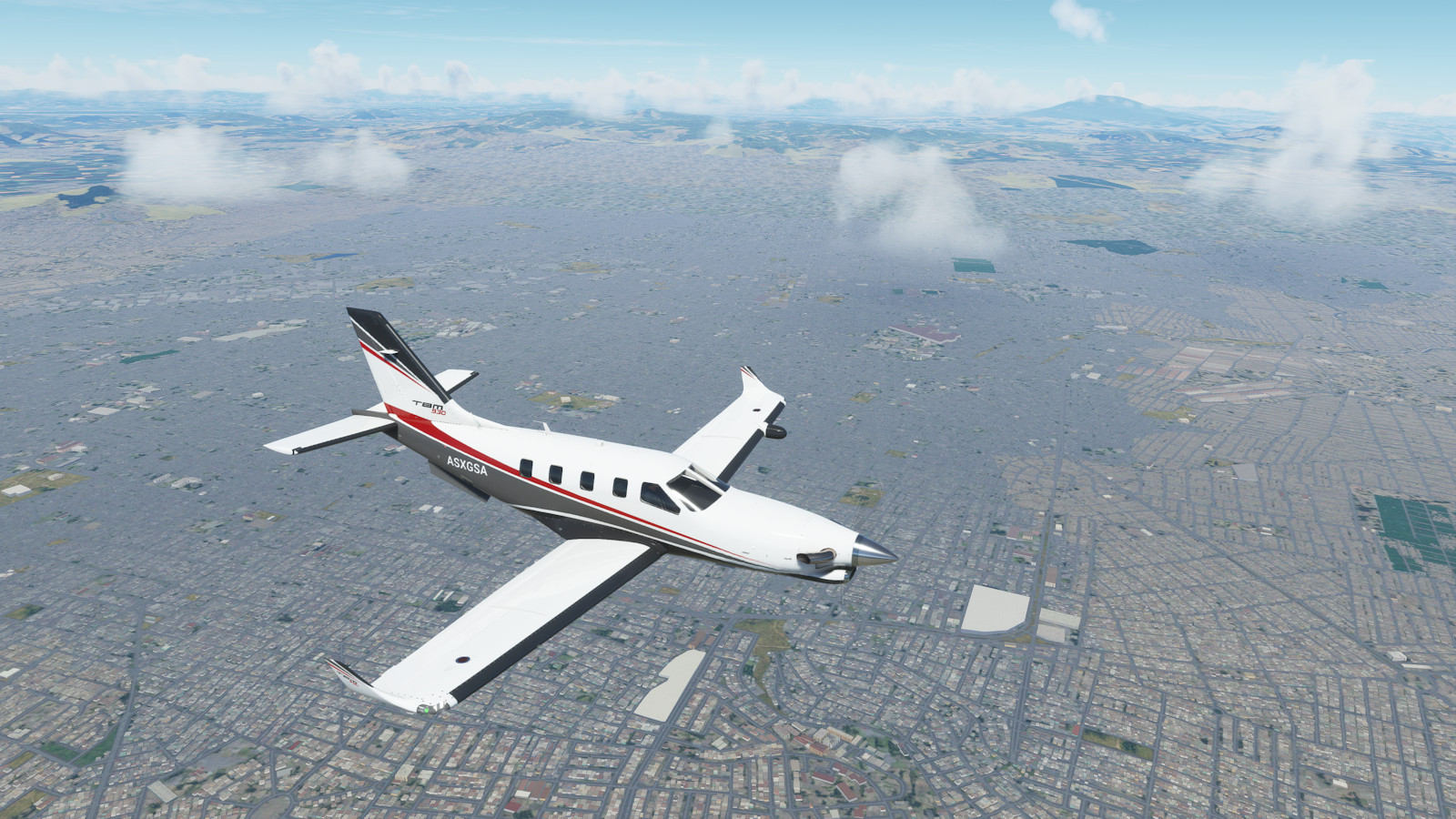
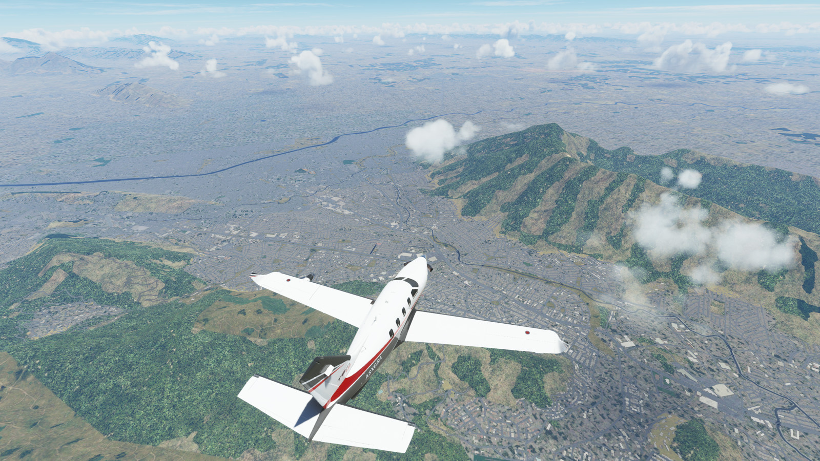
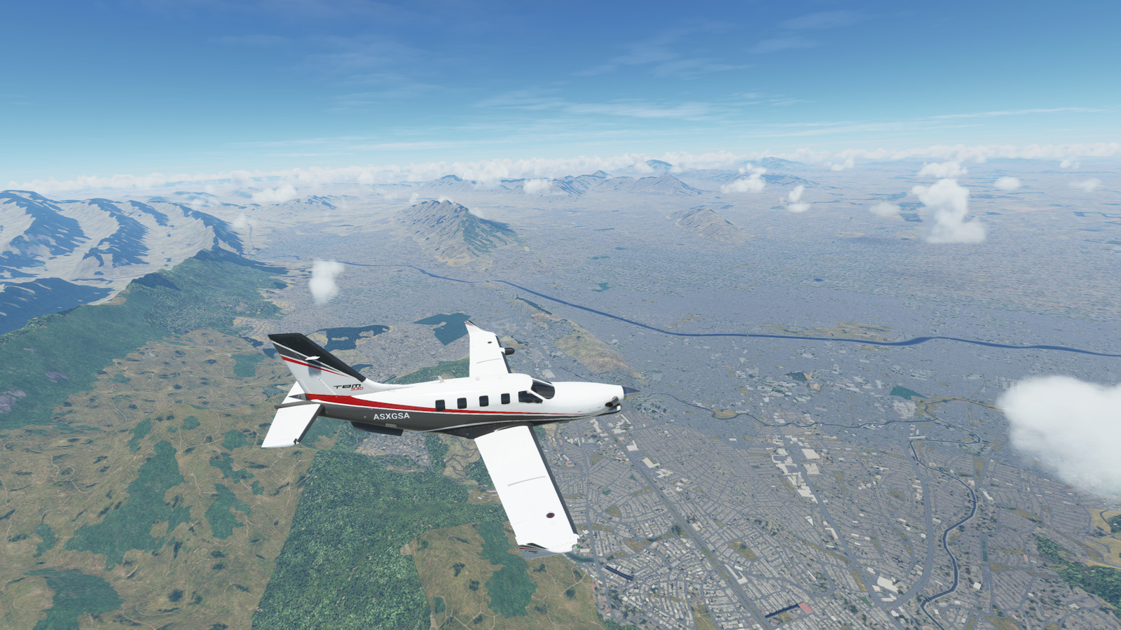
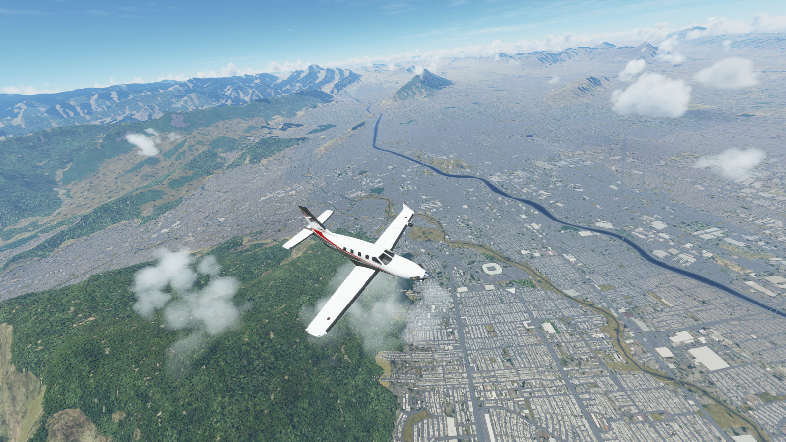
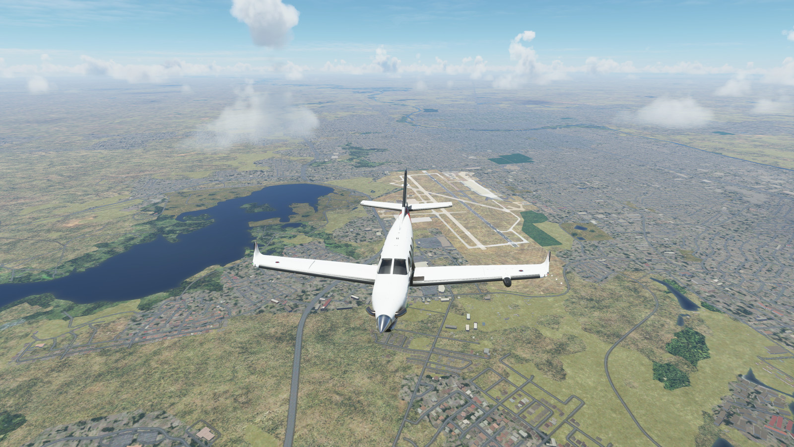
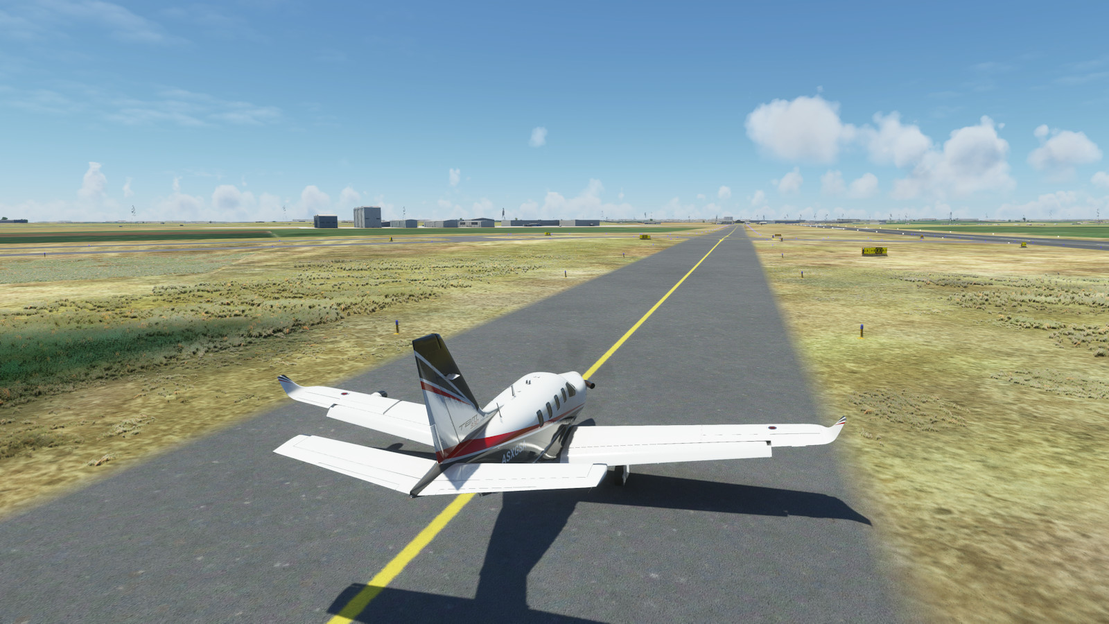
This segment features many major cities of western South America (Concepcion, Santiago, La Paz, Cusco, Lima, Quito, Bogata,Medellín), many major cities of Central America (Panama City, San Jose, Managua, San Salvador), Mexico (Tuxtla, Oaxaca, Mexico City, Zacatecas, Monterey) and returns home to the USA via Laredo, San Antonio, and Austin.
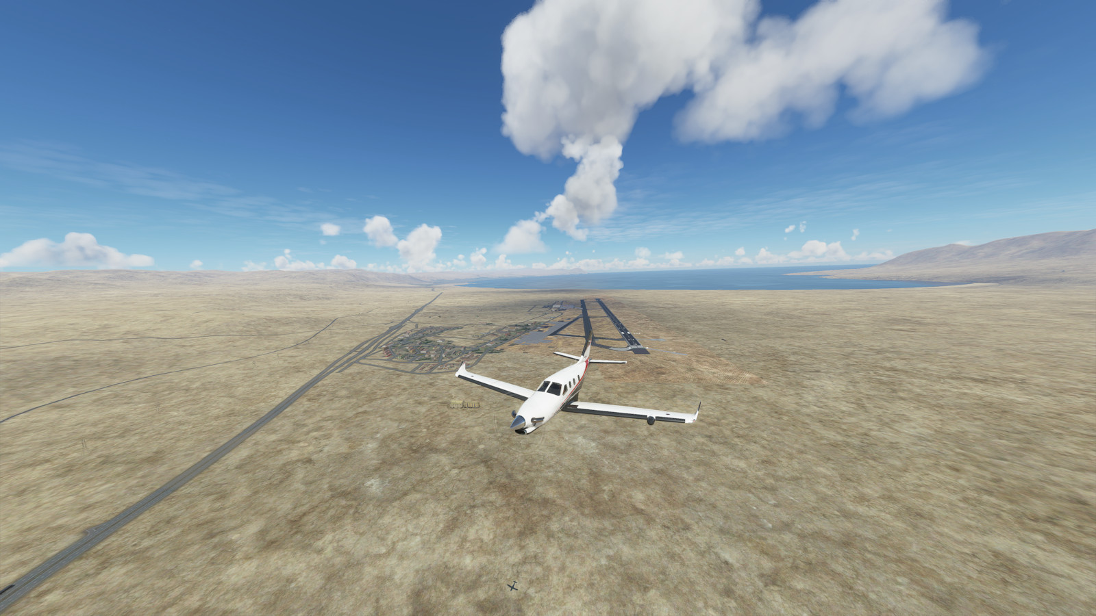
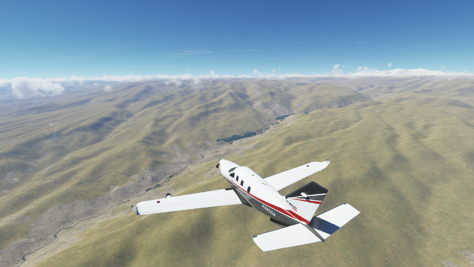
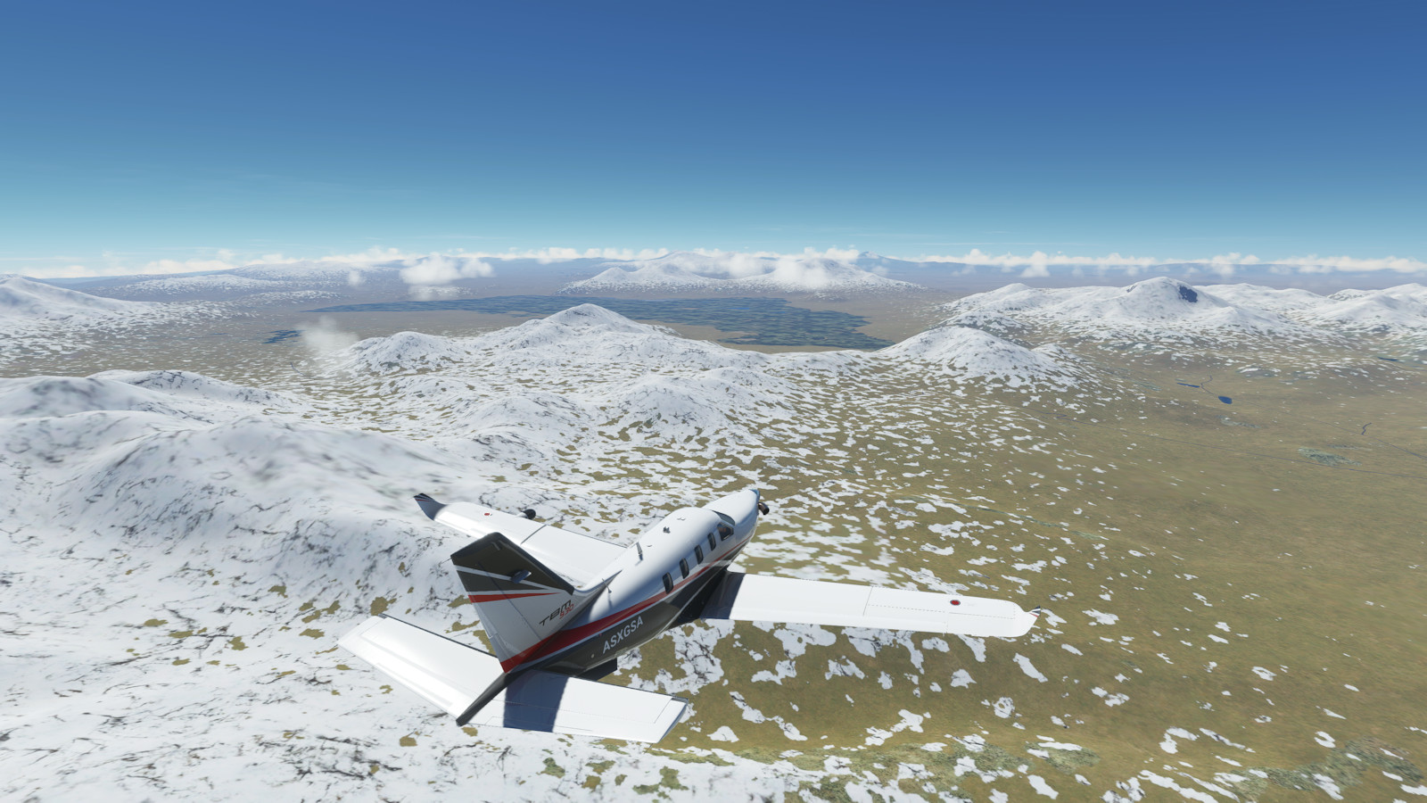
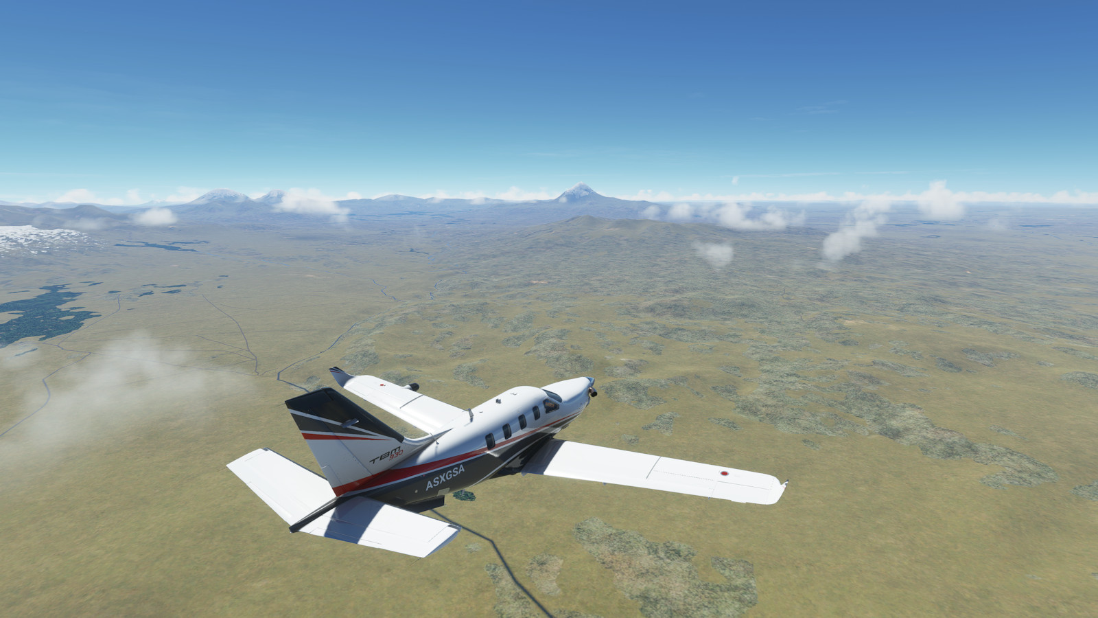
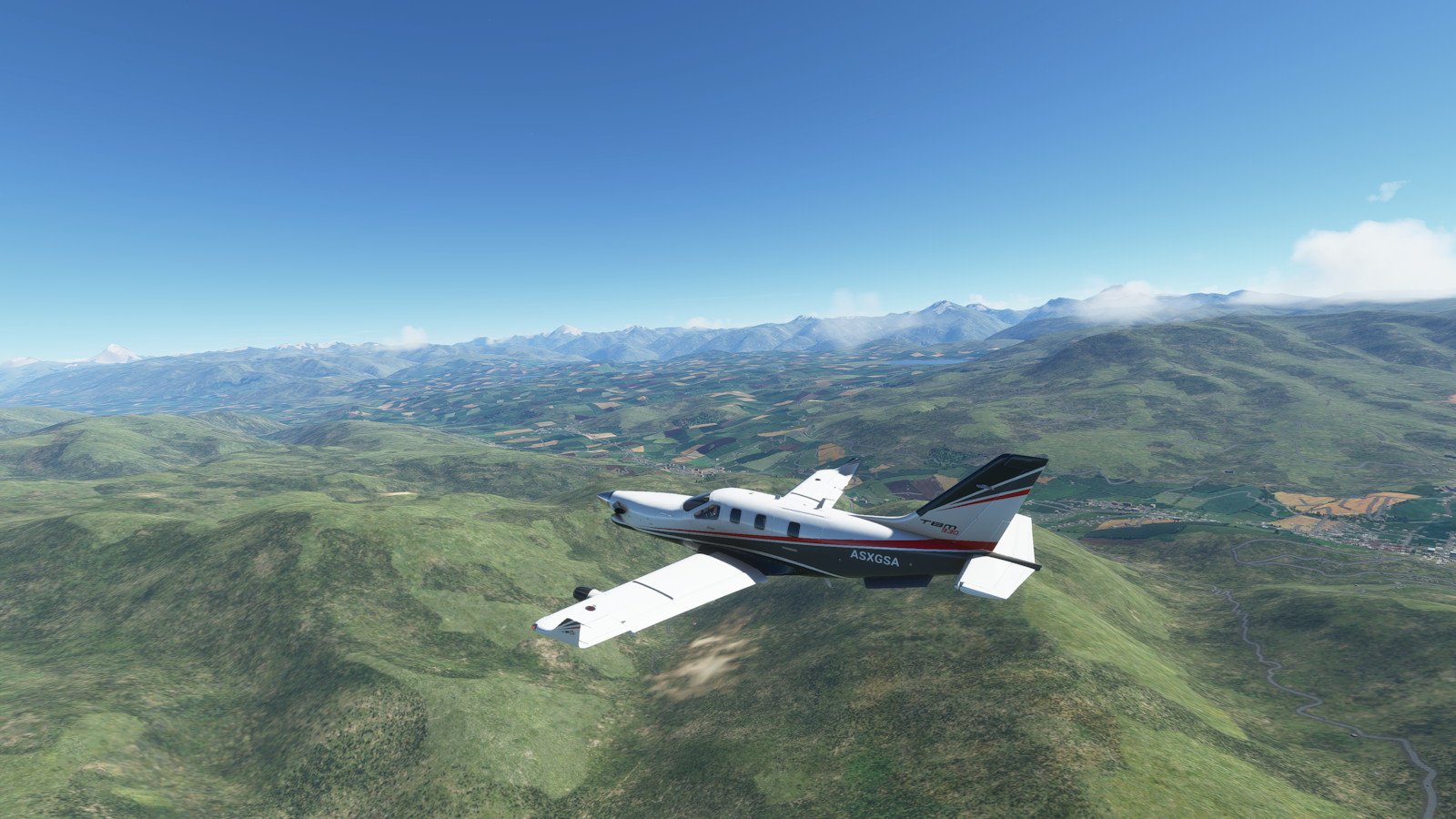
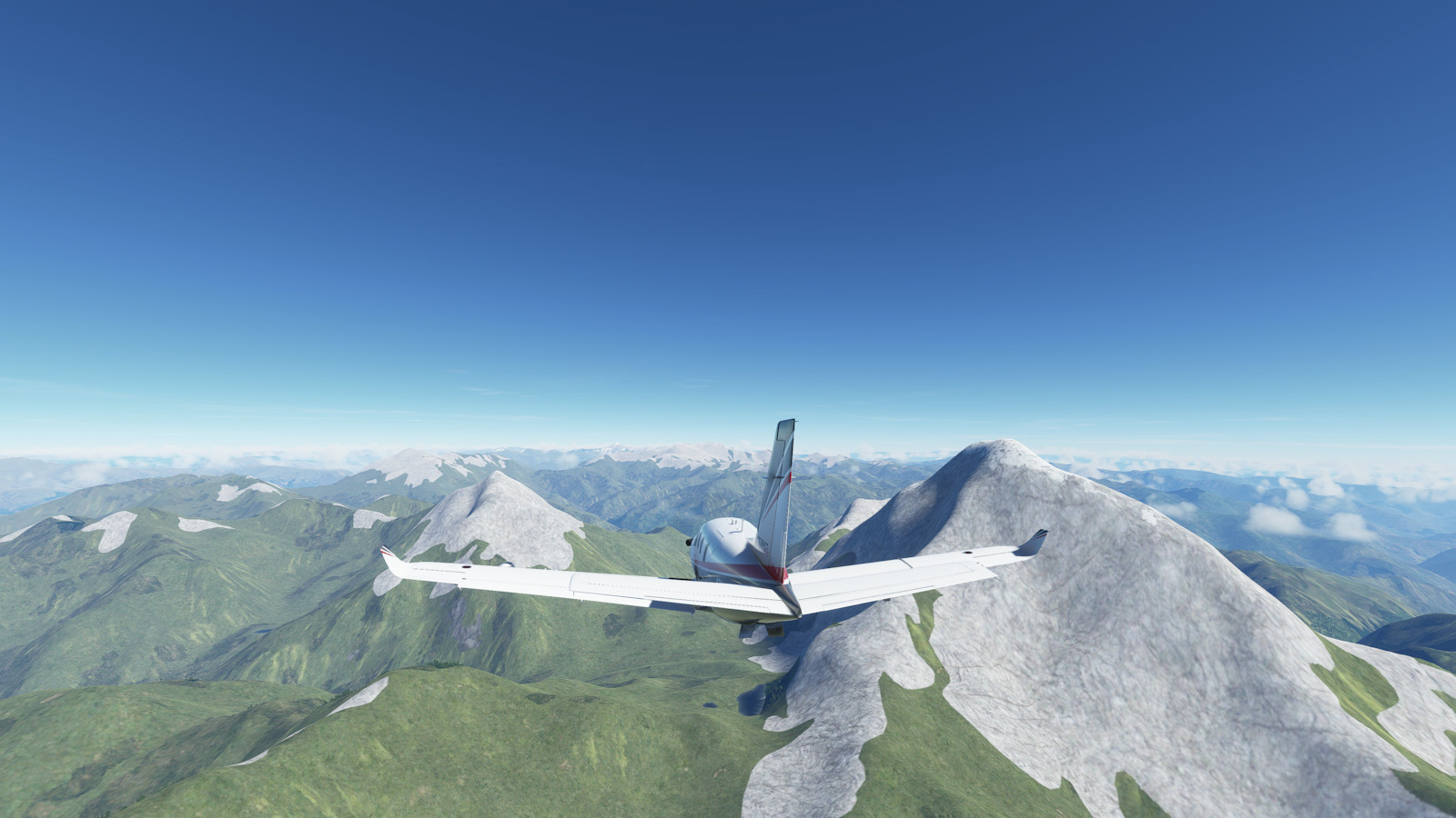
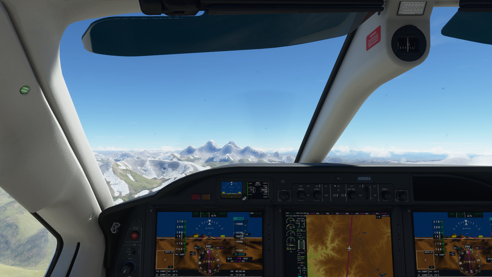
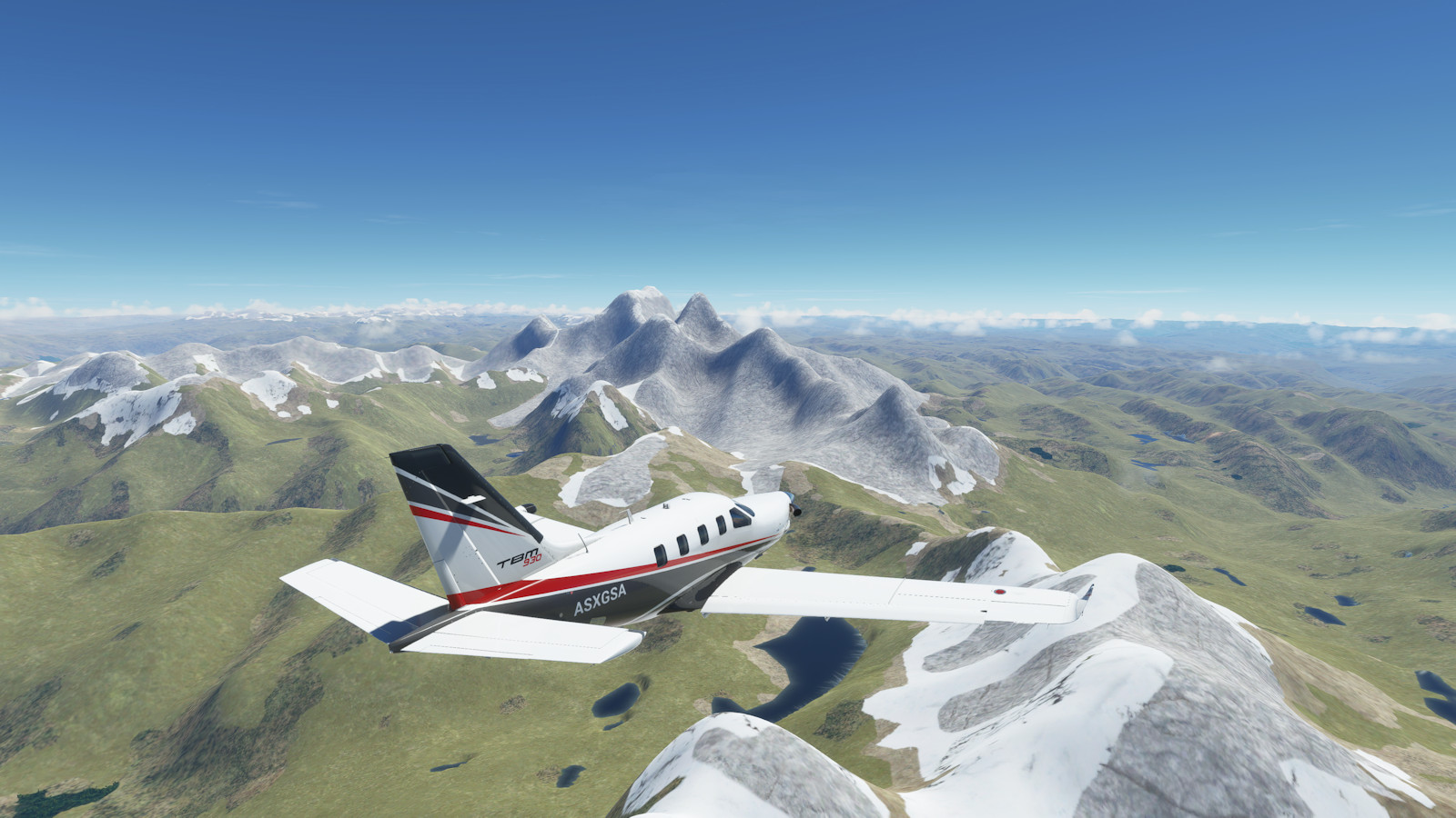
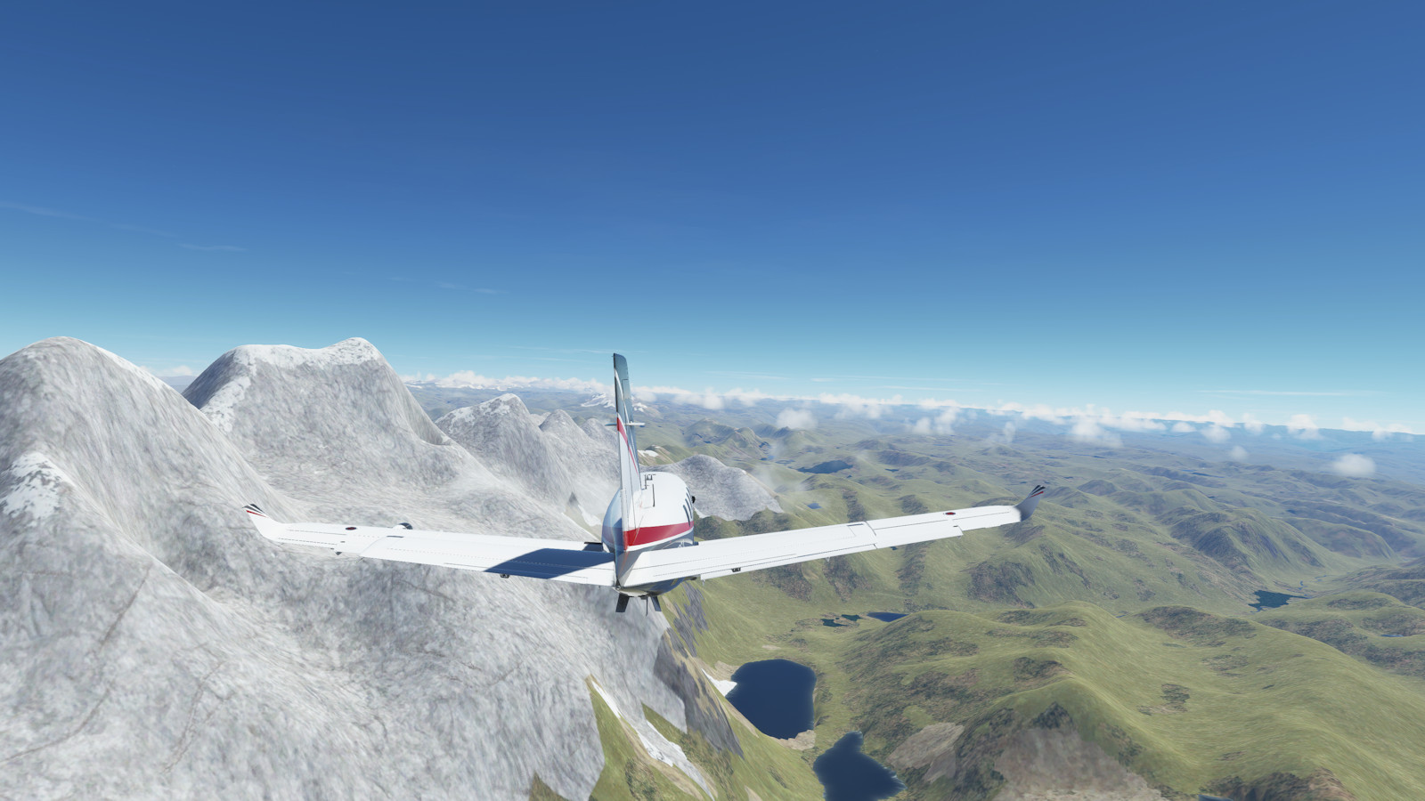
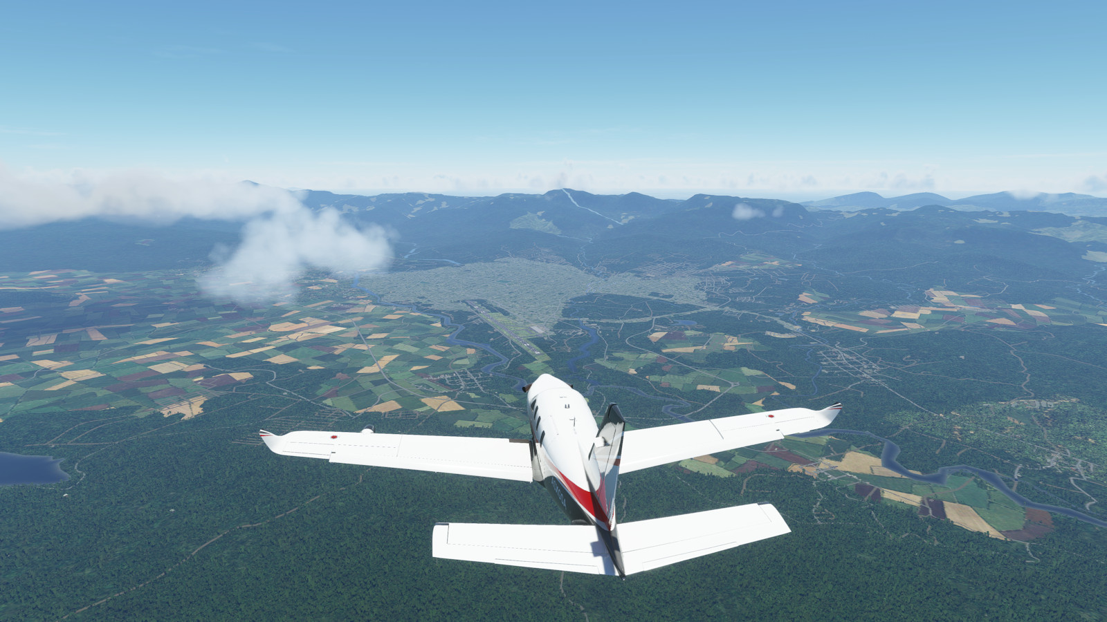
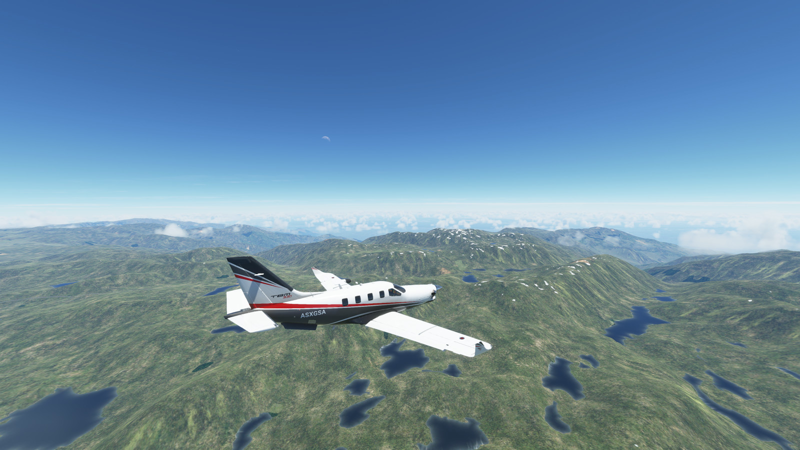
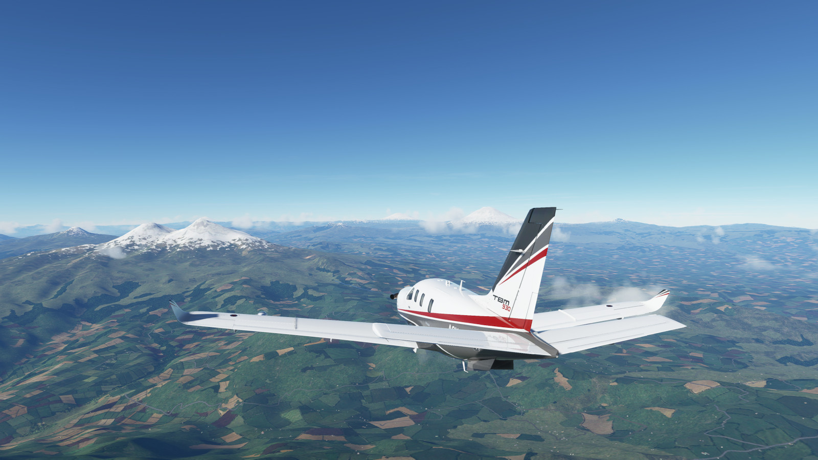
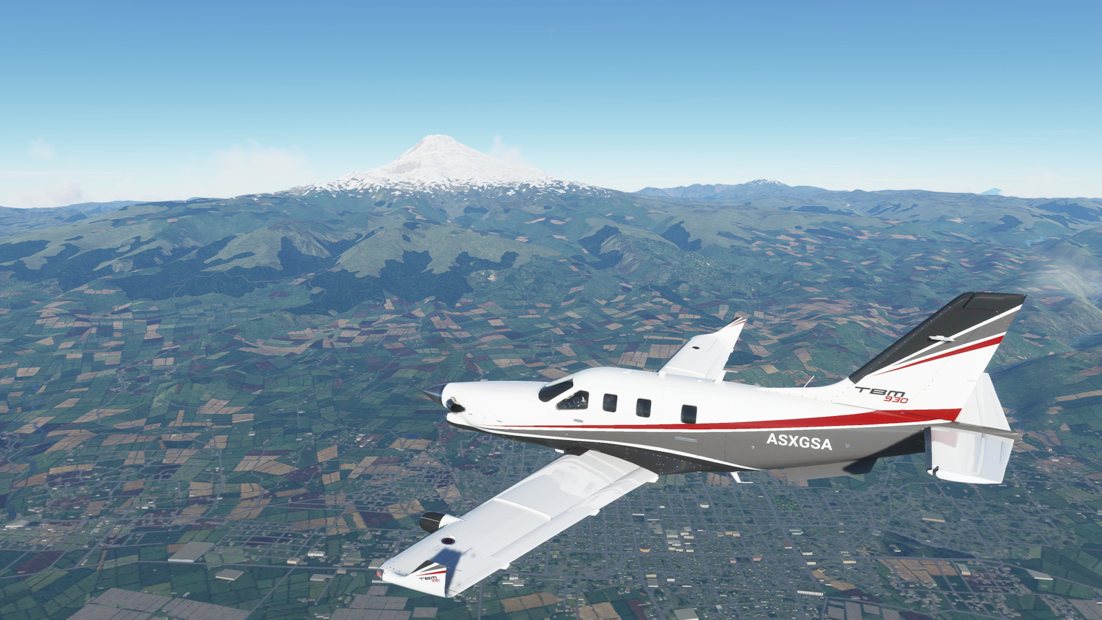
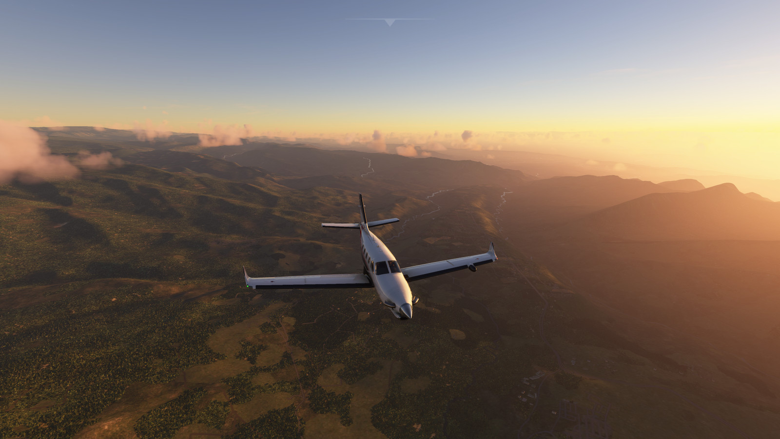
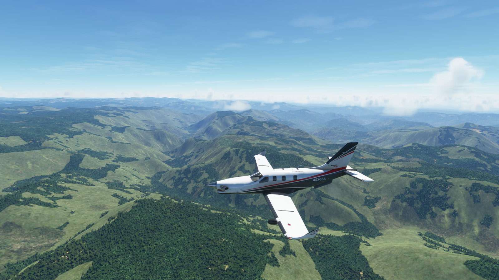
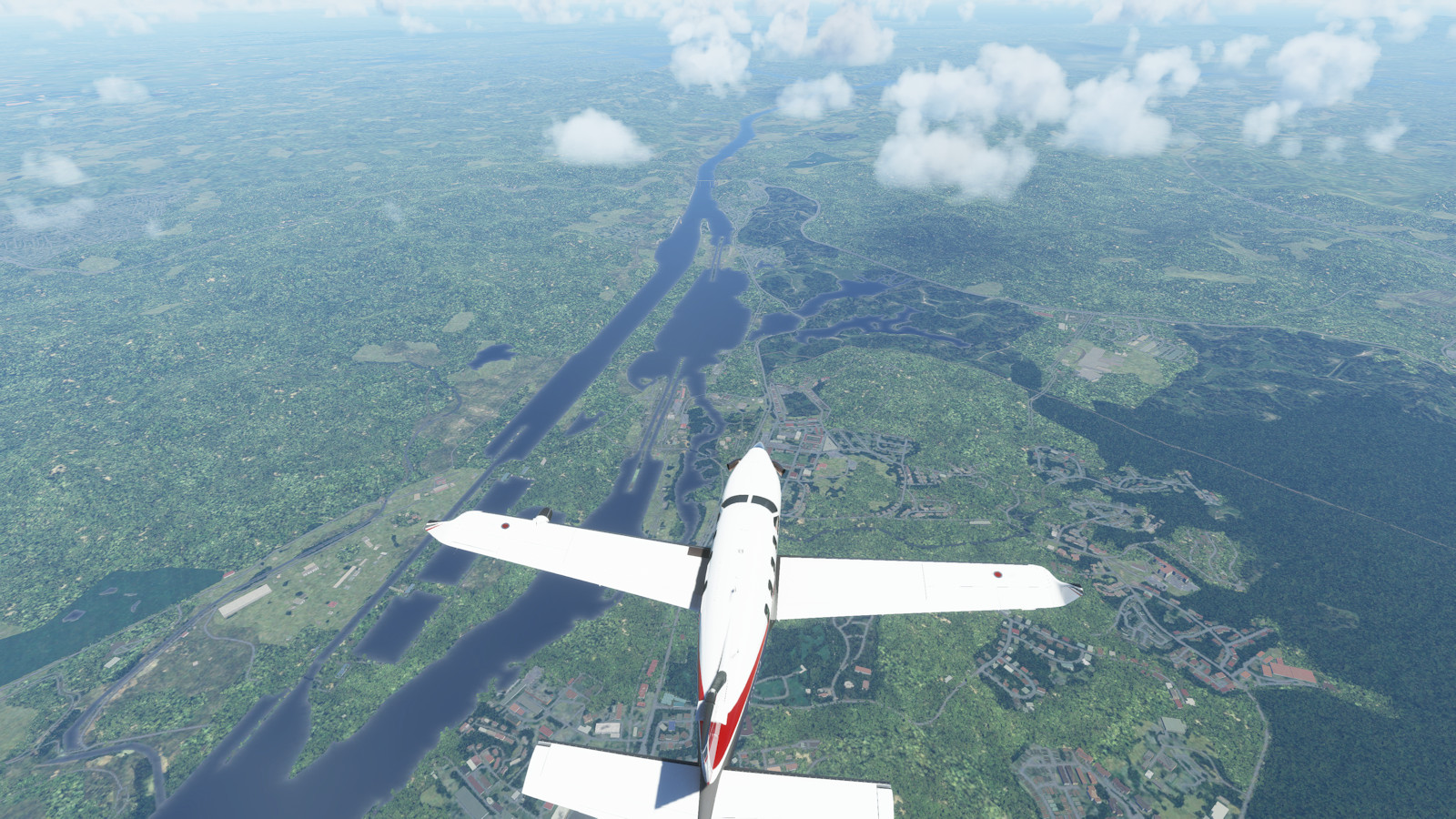
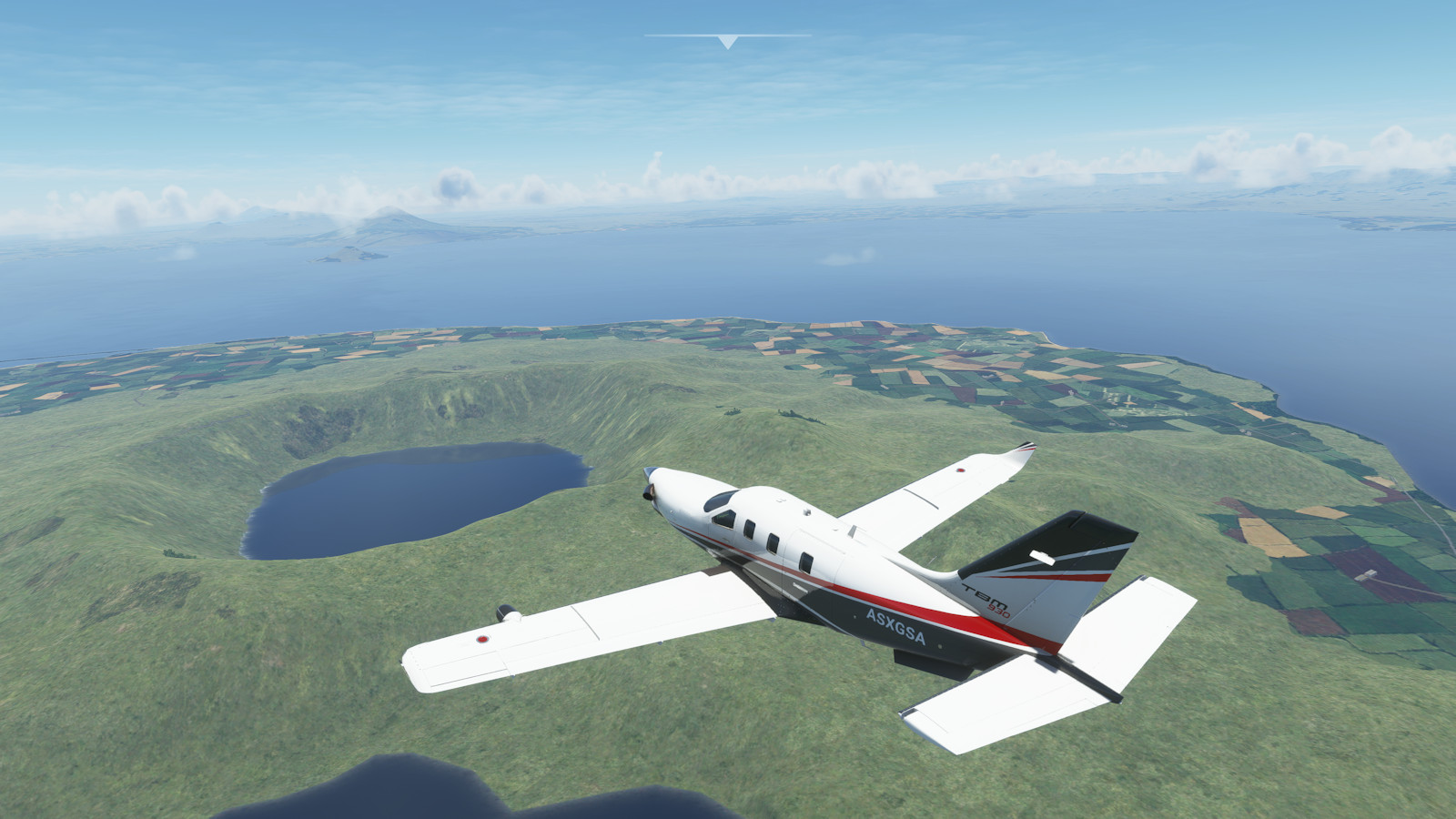
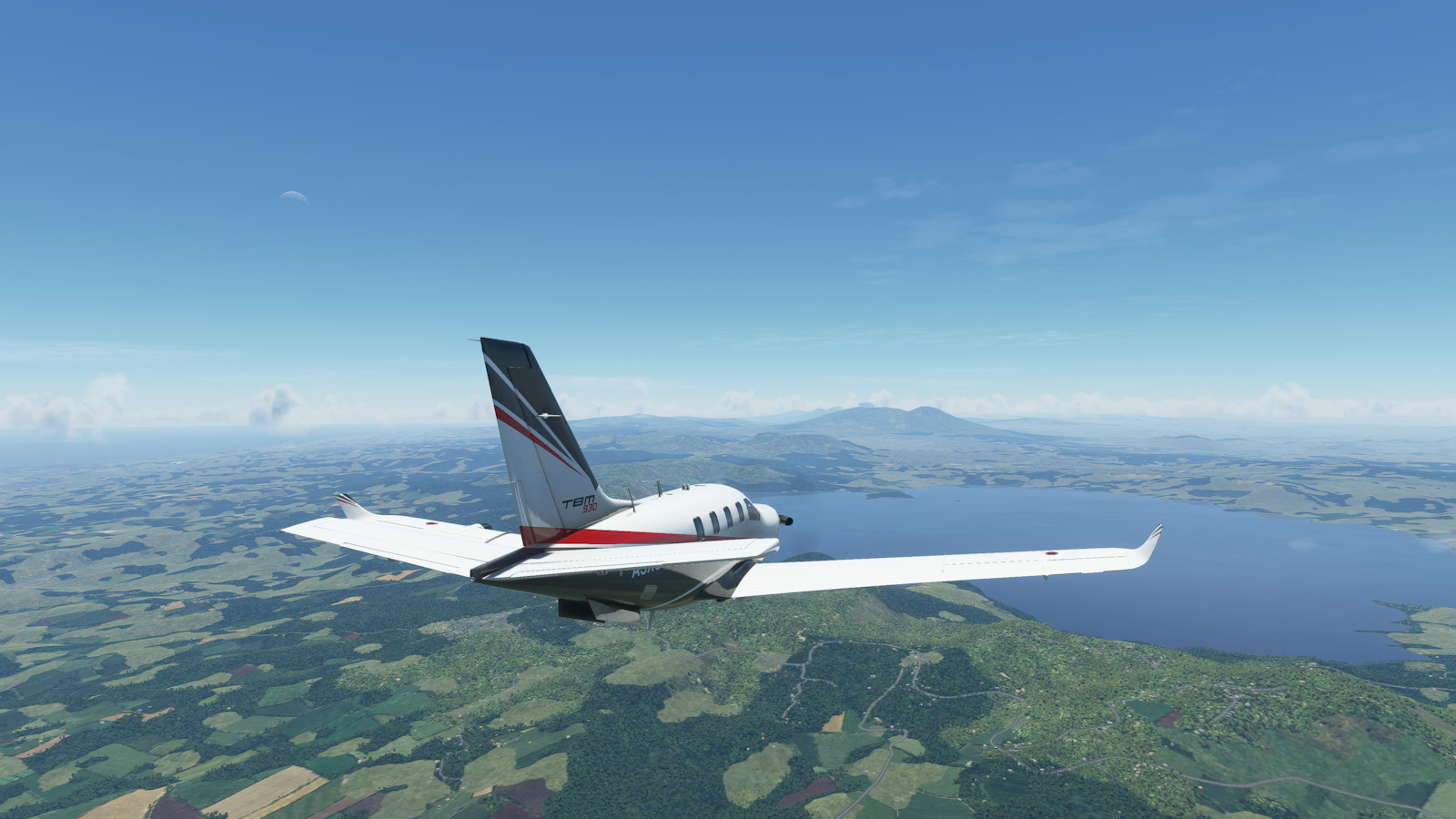
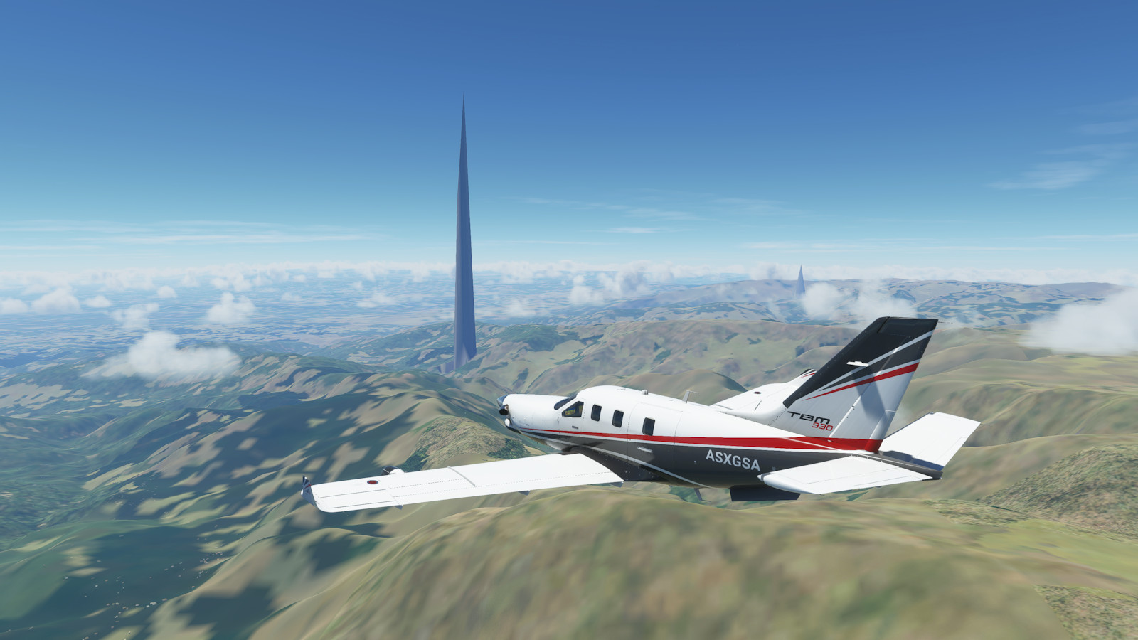
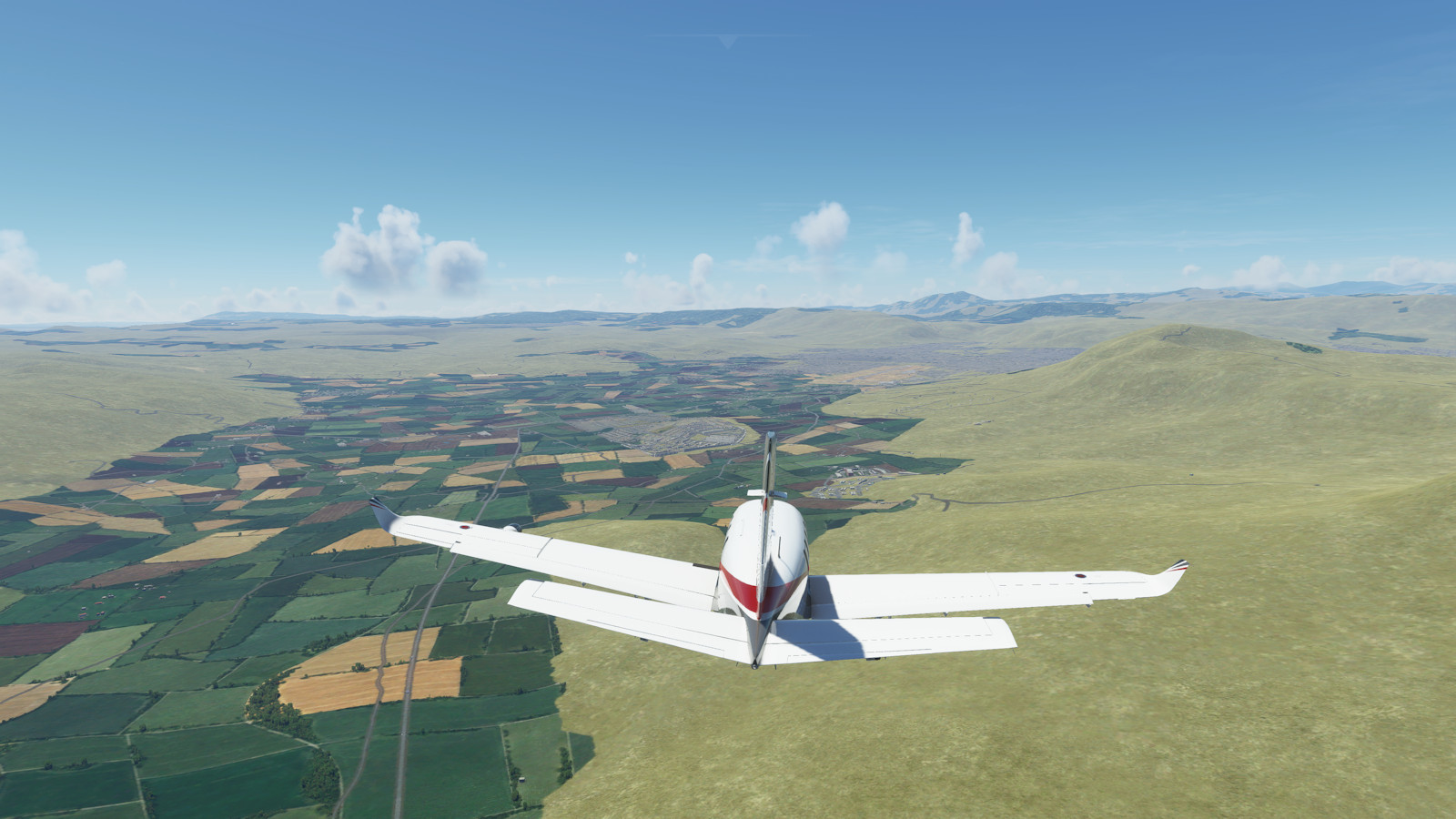
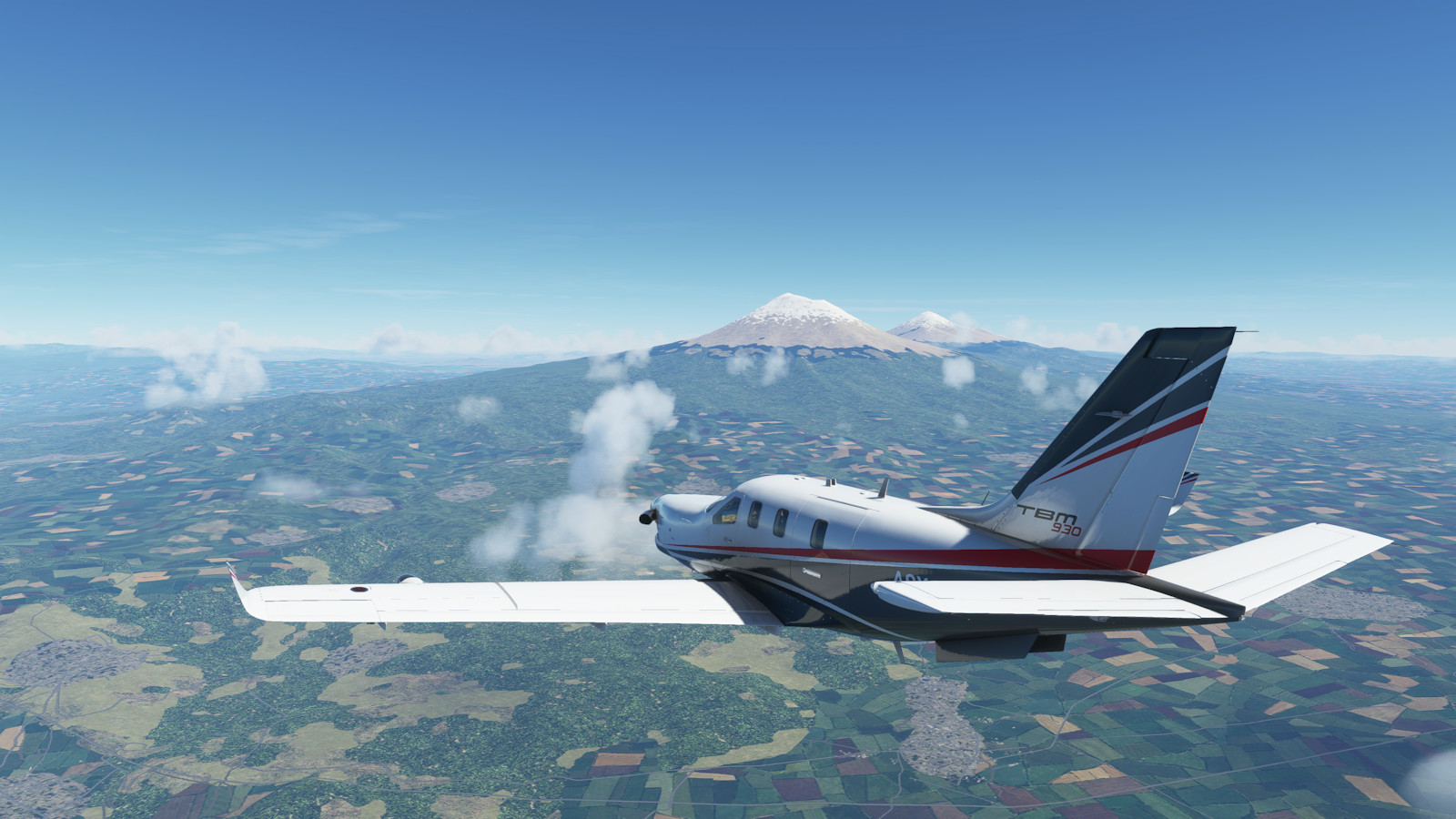
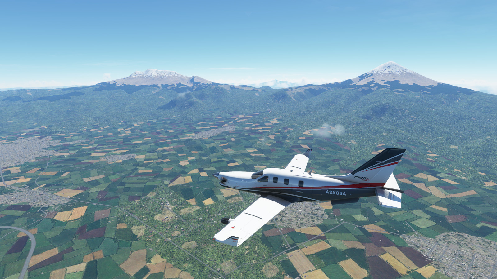
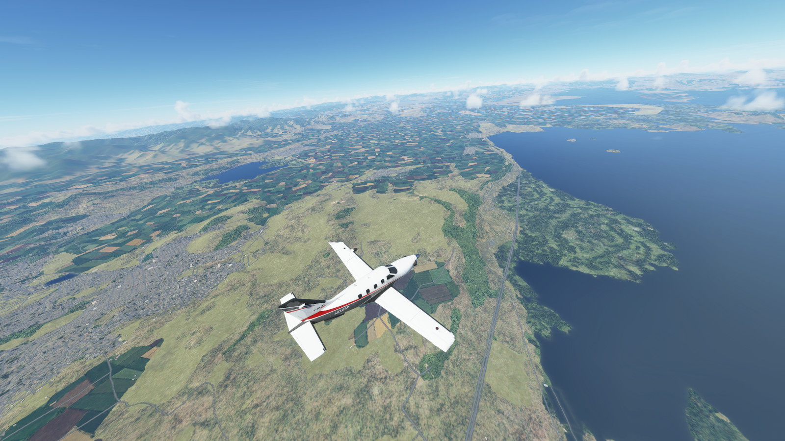
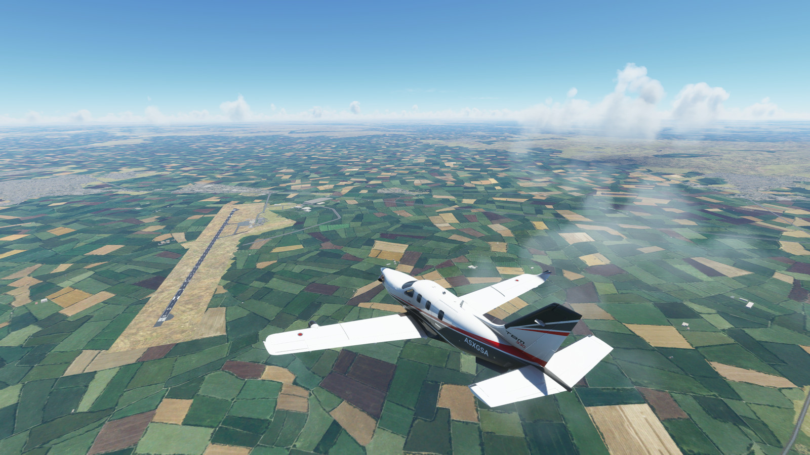
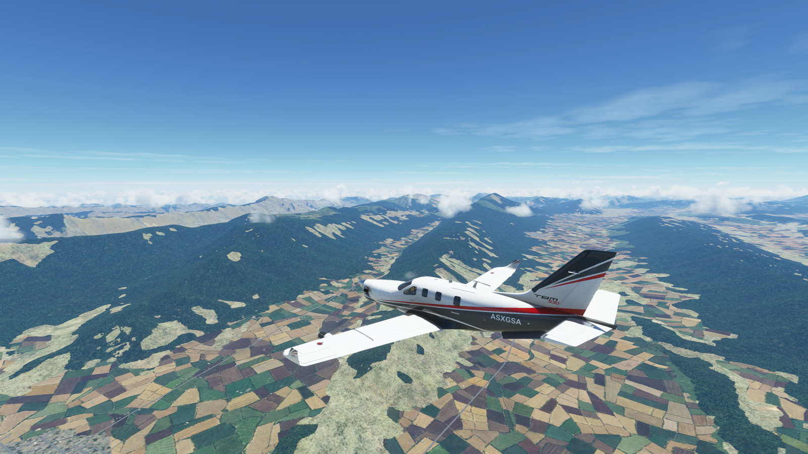
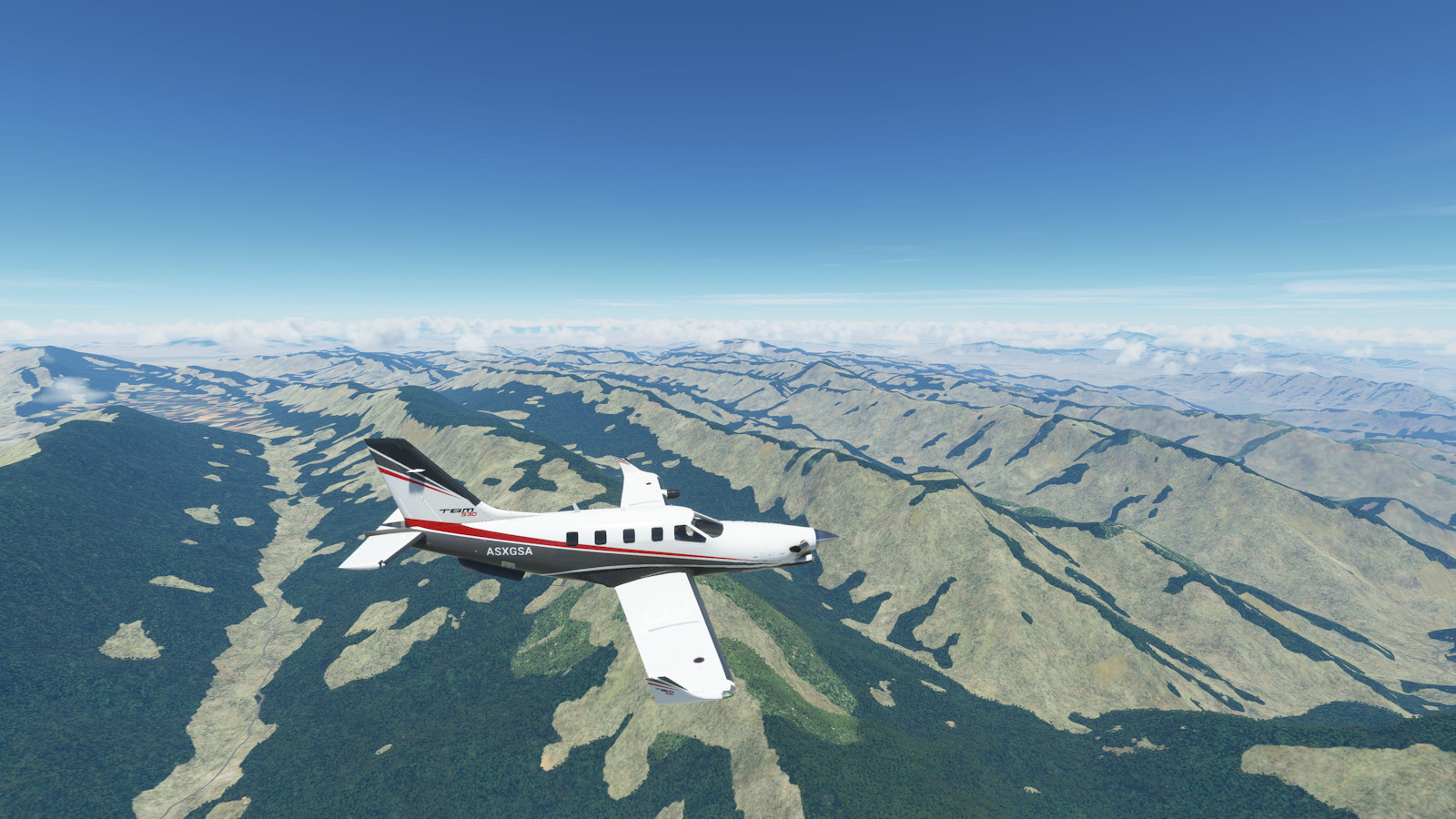
Highlights include gorgeous lakes, coasts, volcanoes, snowy mountains, crazy high altitude flying, and a return home to Austin, Texas after 60 days of flight.
| Leg | Country | City | Ident | Name | Dist nm | Time hh:mm |
Cumu nm | Cumu hh:mm |
|---|---|---|---|---|---|---|---|---|
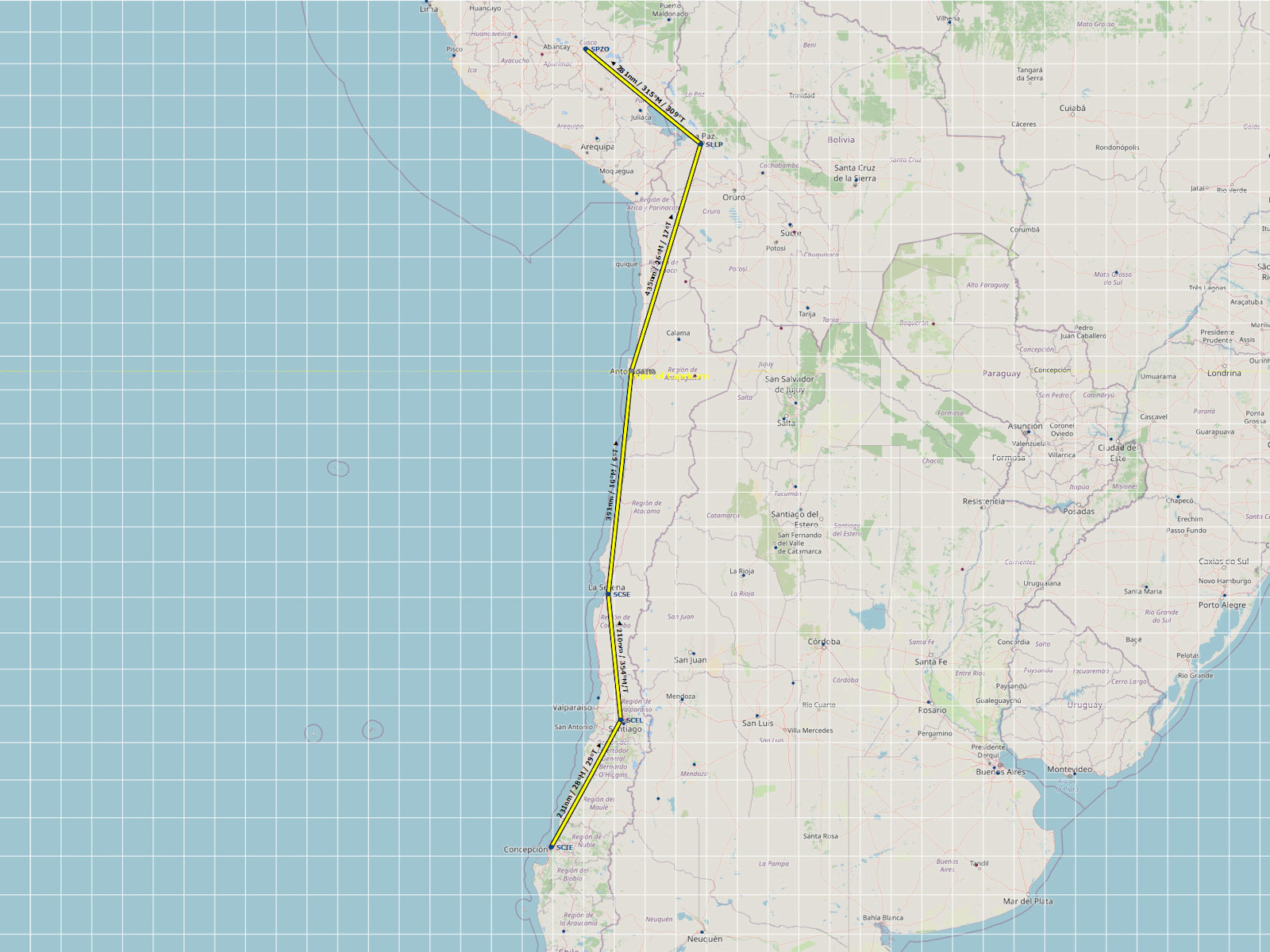
| 1 | CHL | Concepcion | SCIE | Carriel Sur | ||||
| 2 | CHL | Santiago | SCEL | Arturo Benítez Intl | 231 | 0:58 | 231 | 0:58 |
| 3 | CHL | La Serena-Coquimbo | SCSE | La Florida | 210 | 0:52 | 441 | 1:50 |
| 4 | CHL | Antofagasta | SCFA | Cerro Moreno Intl | 391 | 1:38 | 832 | 3:28 |
| 5 | BOL | La Paz / El Alto | SLLP | El Alto | 435 | 1:49 | 1267 | 5:17 |
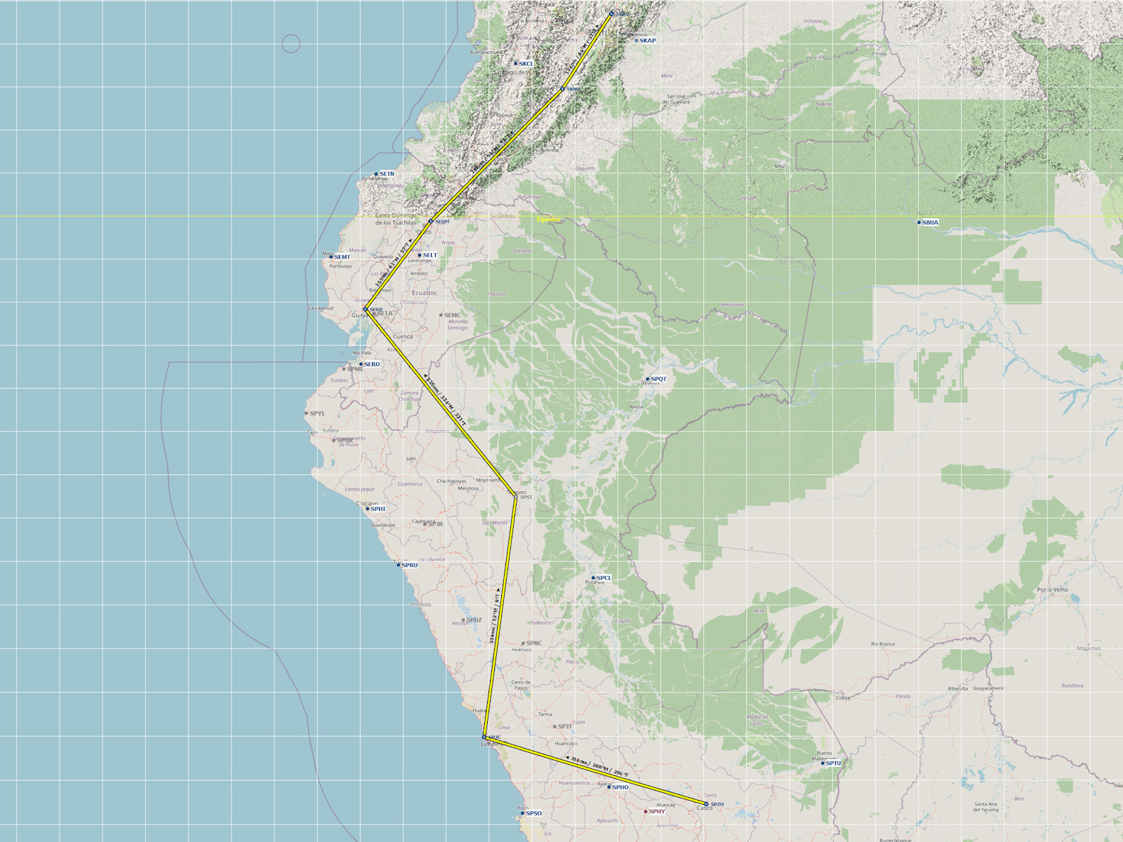
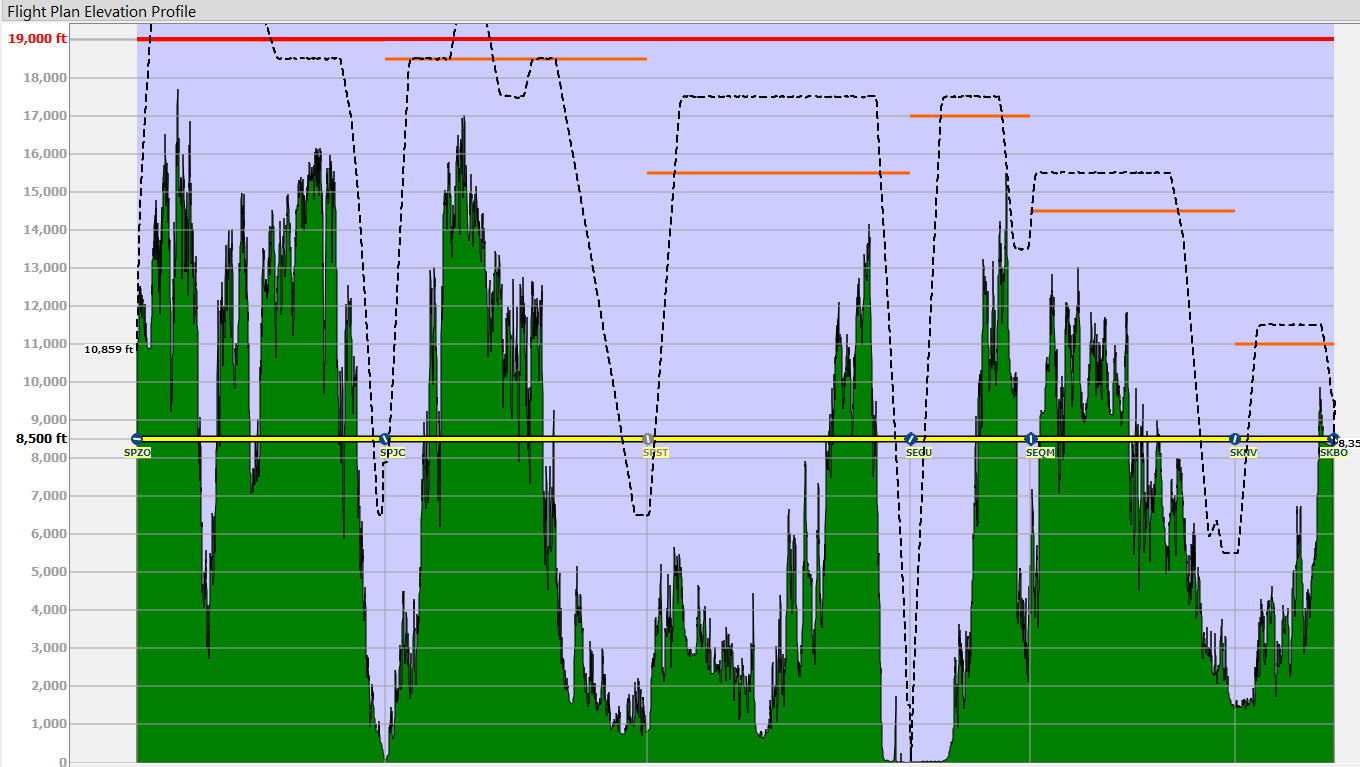
| 6 | PER | Cusco | SPZO | Alejandro Velasco Astete | 281 | 1:10 | 1548 | 6:27 |
| 7 | PER | Lima | SPJC | Jorge Chavez Intl | 316 | 1:19 | 1864 | 7:46 |
| 8 | PER | Tarapoto | SPST | Cadete Guillermo Del Castillo Paredes | 334 | 1:23 | 2198 | 9:09 |
| 9 | ECU | Guayaquil | SEGU | Guayaquil - Jose J De Olmedo | 335 | 1:24 | 2533 | 10:33 |
| 10 | ECU | Quito | SEQM | Quito - Mariscal Sucre | 153 | 0:38 | 2686 | 11:11 |
| 11 | COL | Neiva | SKNV | Benito Salas | 260 | 1:05 | 2946 | 12:16 |
| 12 | COL | Bogota | SKBO | El Dorado Intl | 126 | 0:31 | 3072 | 12:47 |
| 13 | COL | Medellín | SKMD | Medellin Olaya Herrera | 126 | 0:31 | 3198 | 13:18 |
| 14 | PAN | Tocumen | MPTO | Tocumen Intl | 283 | 1:11 | 3481 | 14:29 |
| 15 | CRI | San Jose | MROC | San Jose Juan Santamaria Intl | 291 | 1:13 | 3772 | 15:42 |
| 16 | NIC | Managua | MNMG | Managua Sandino Intl | 173 | 0:43 | 3945 | 16:25 |
| 17 | SLV | San Salvador | MSSS | Ilopango Intl | 196 | 0:49 | 4141 | 17:14 |
| 18 | MEX | Tuxtla Gutiérrez | MMTG | Angel Albino Corzo | 284 | 1:11 | 4425 | 18:25 |
| 19 | MEX | Oaxaca | MMOX | Xoxocotlan Intl | 214 | 0:54 | 4639 | 19:19 |
| 20 | MEX | Mexico City | MMMX | Licenciado Benito Juarez Intl | 198 | 0:50 | 4837 | 20:09 |
| 21 | MEX | Guadalajara | MMGL | Don Miguel Hidalgo Intl | 248 | 1:02 | 5085 | 21:11 |
| 22 | MEX | Zacatecas | MMZC | Zacatecas Intl | 147 | 0:37 | 5232 | 21:48 |
| 23 | MEX | Monterrey | MMMY | General Mariano Escobedo Intl | 223 | 0:56 | 5455 | 22:44 |
| 24 | USA | Laredo | KLRD | Laredo Intl | 112 | 0:28 | 5567 | 23:12 |
| 25 | USA | San Antonio | KSAT | San Antonio Intl | 130 | 0:33 | 5697 | 23:45 |
| 26 | USA | Austin | KEDC | Austin Executive | 70 | 0:18 | 5767 | 24:03 |
Click on the image to get a larger photo gallery view of the flight plans. Click "Save Link As..." on the text link to save a Little Nav Map flight plan file.
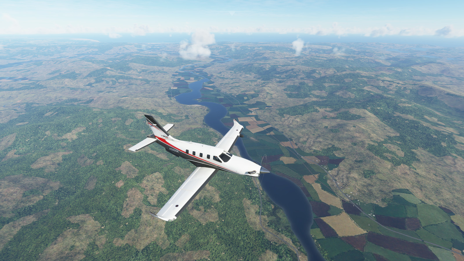
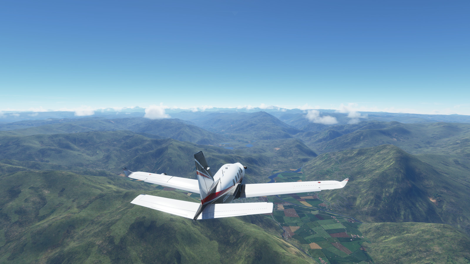
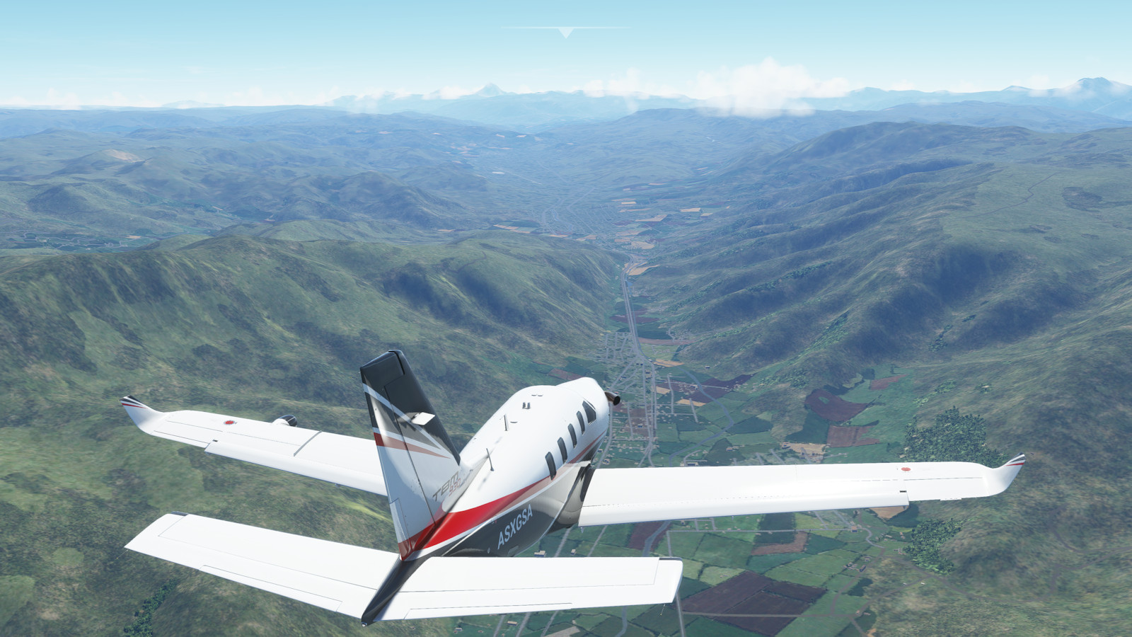
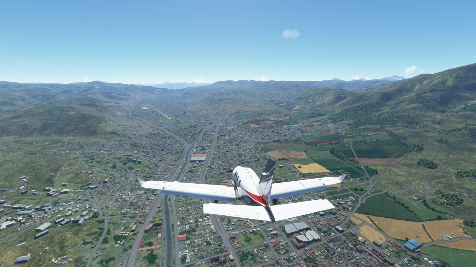
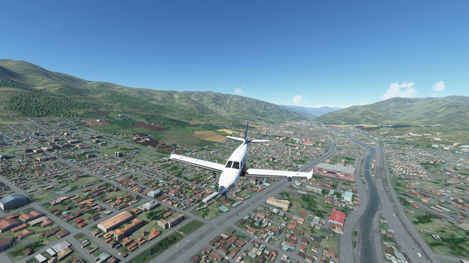
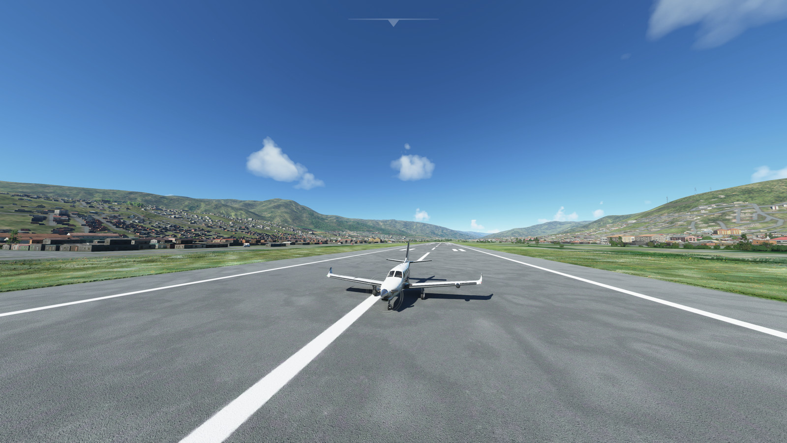
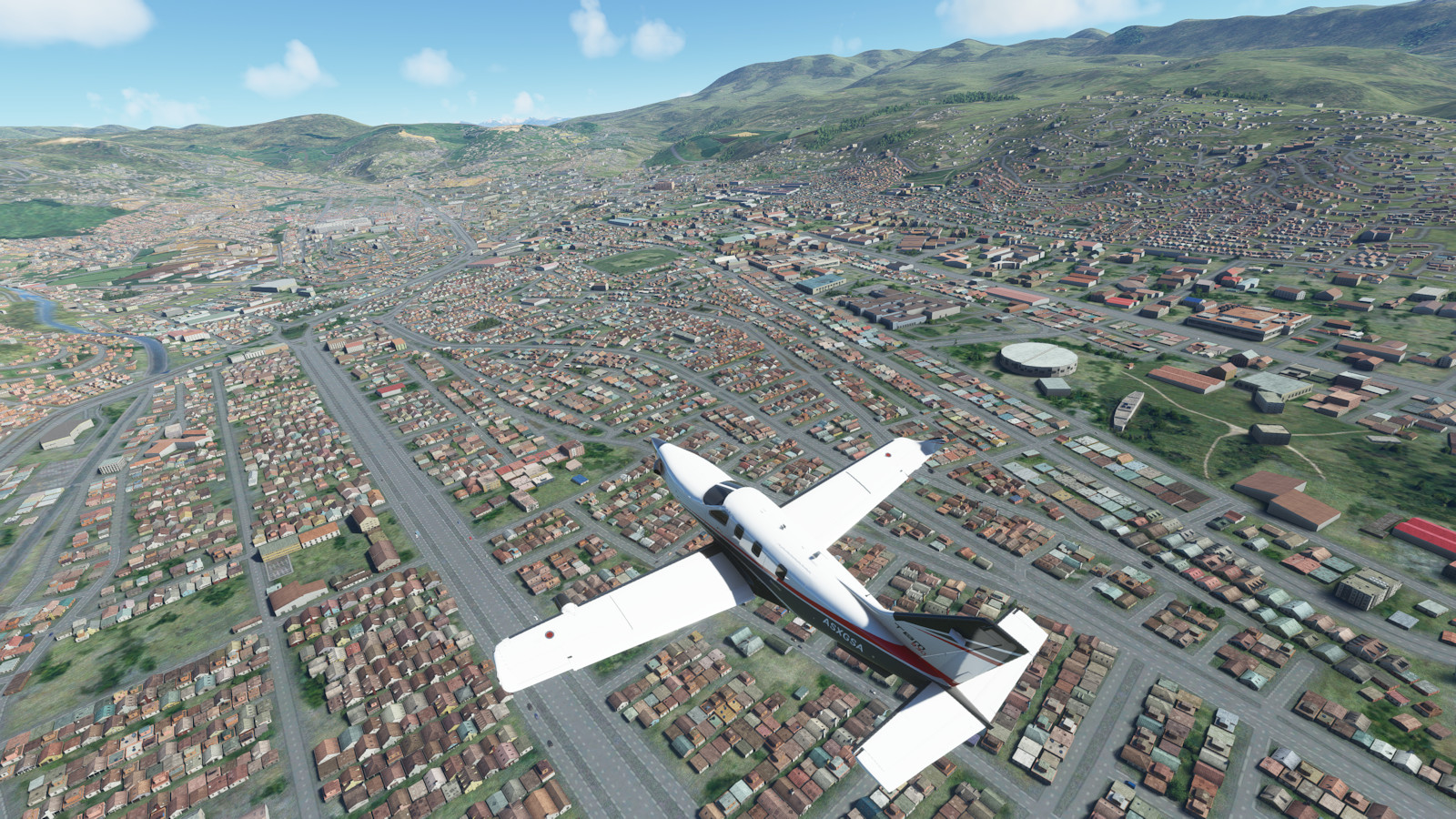
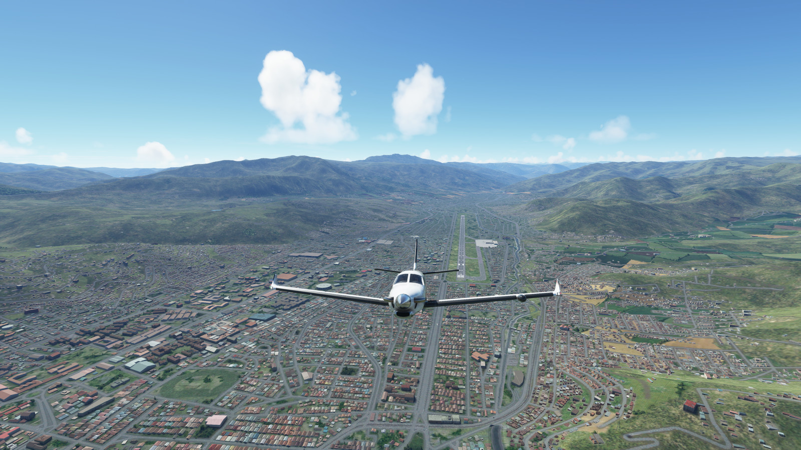
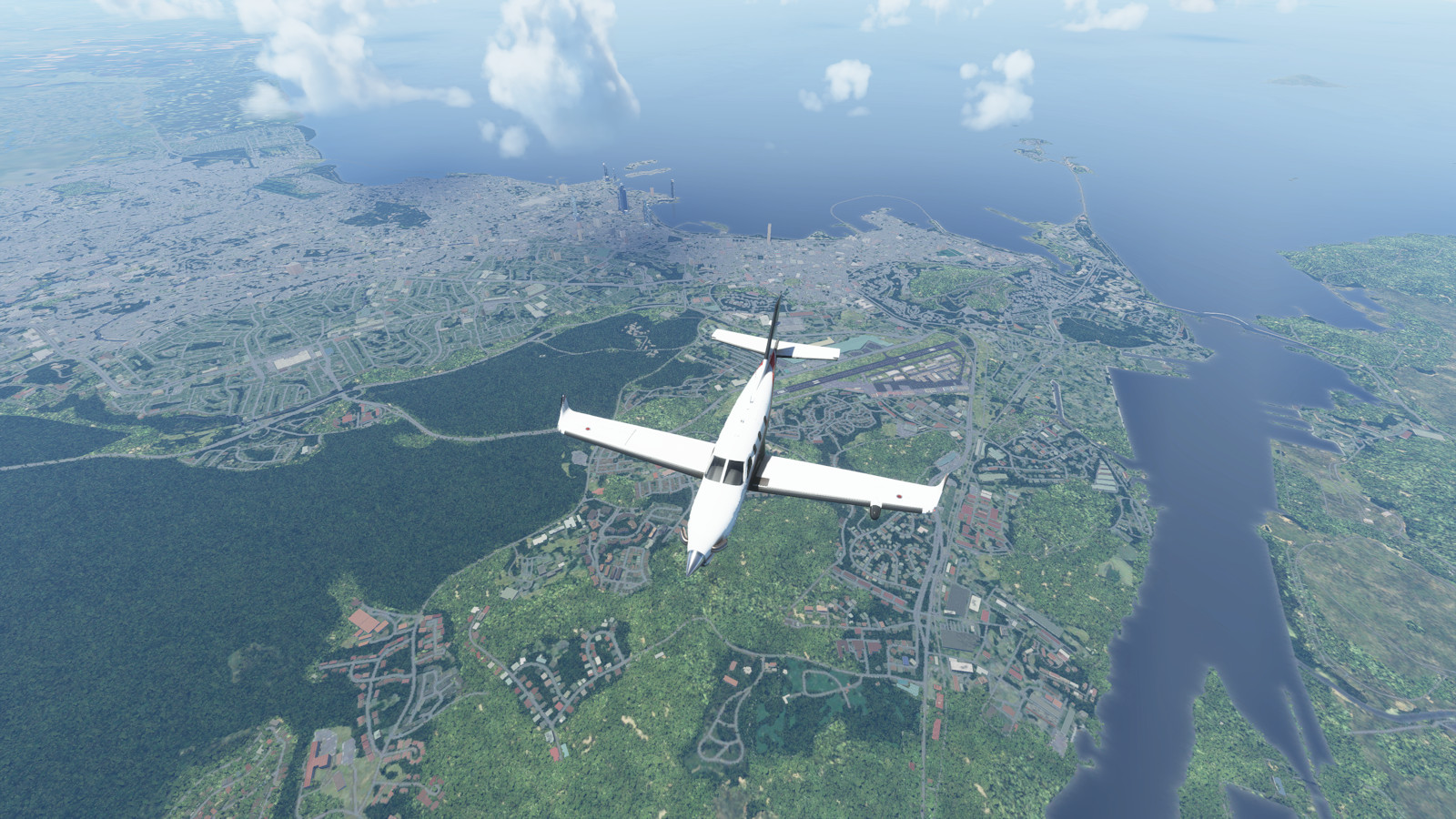
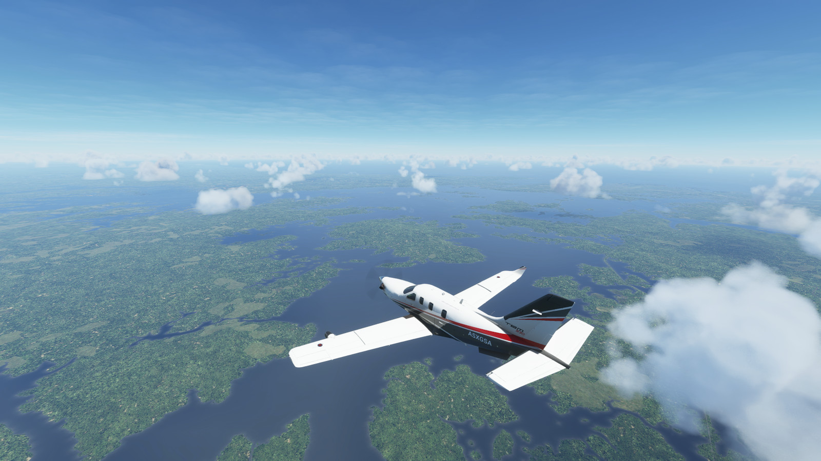
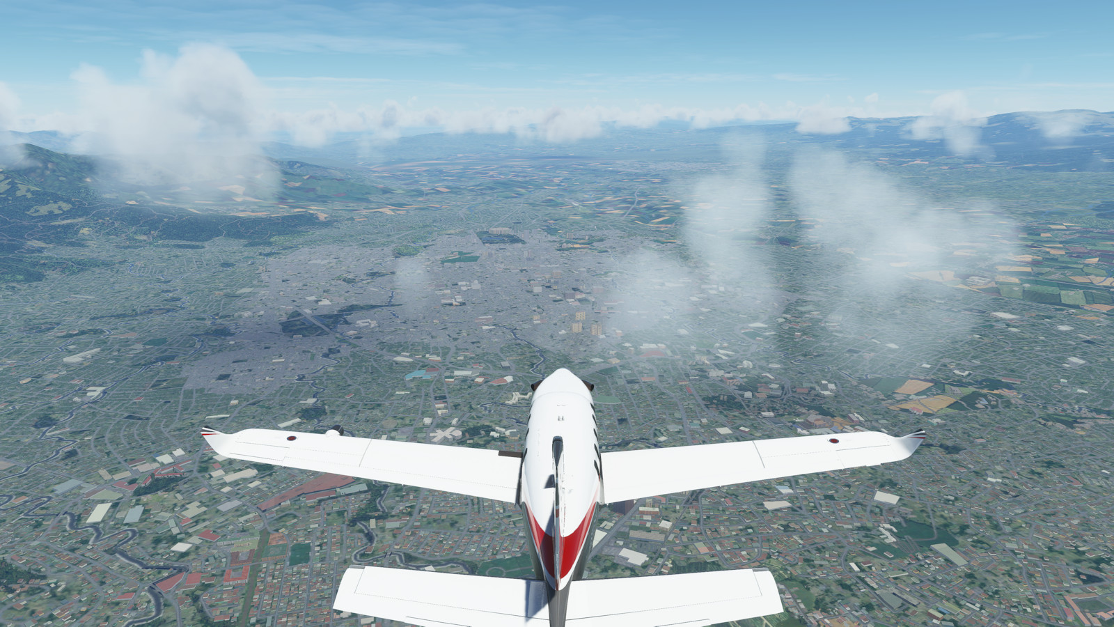
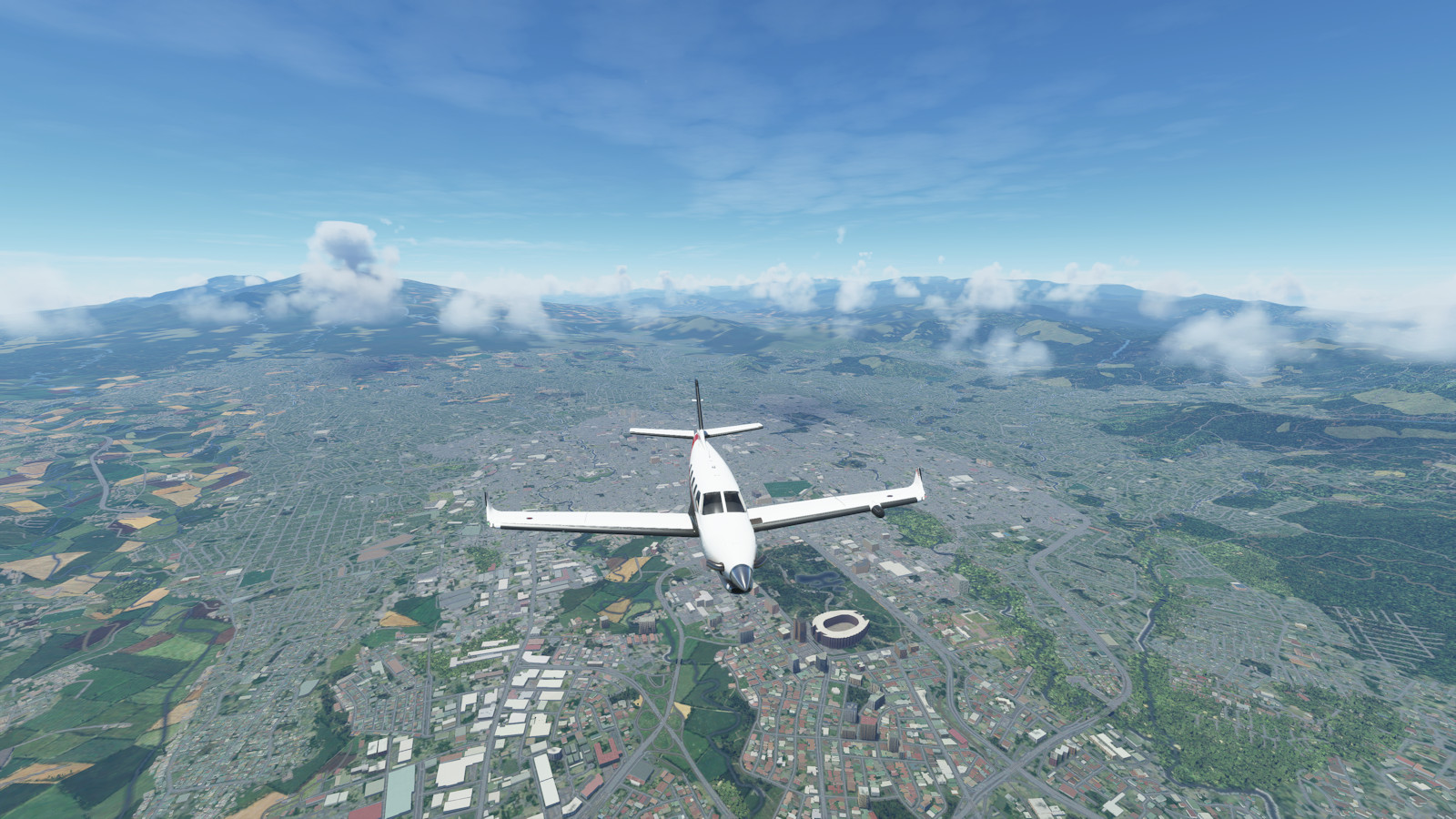
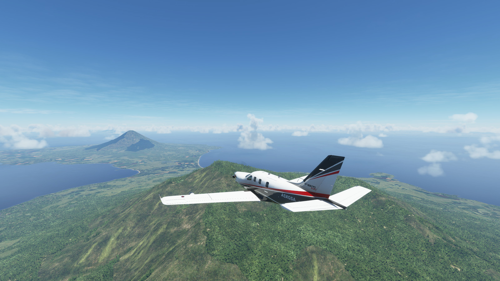
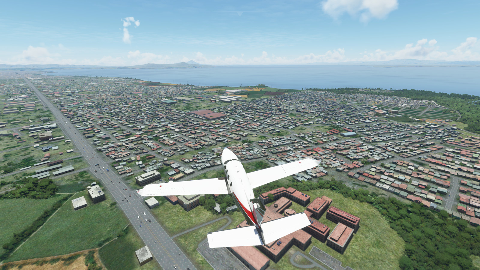
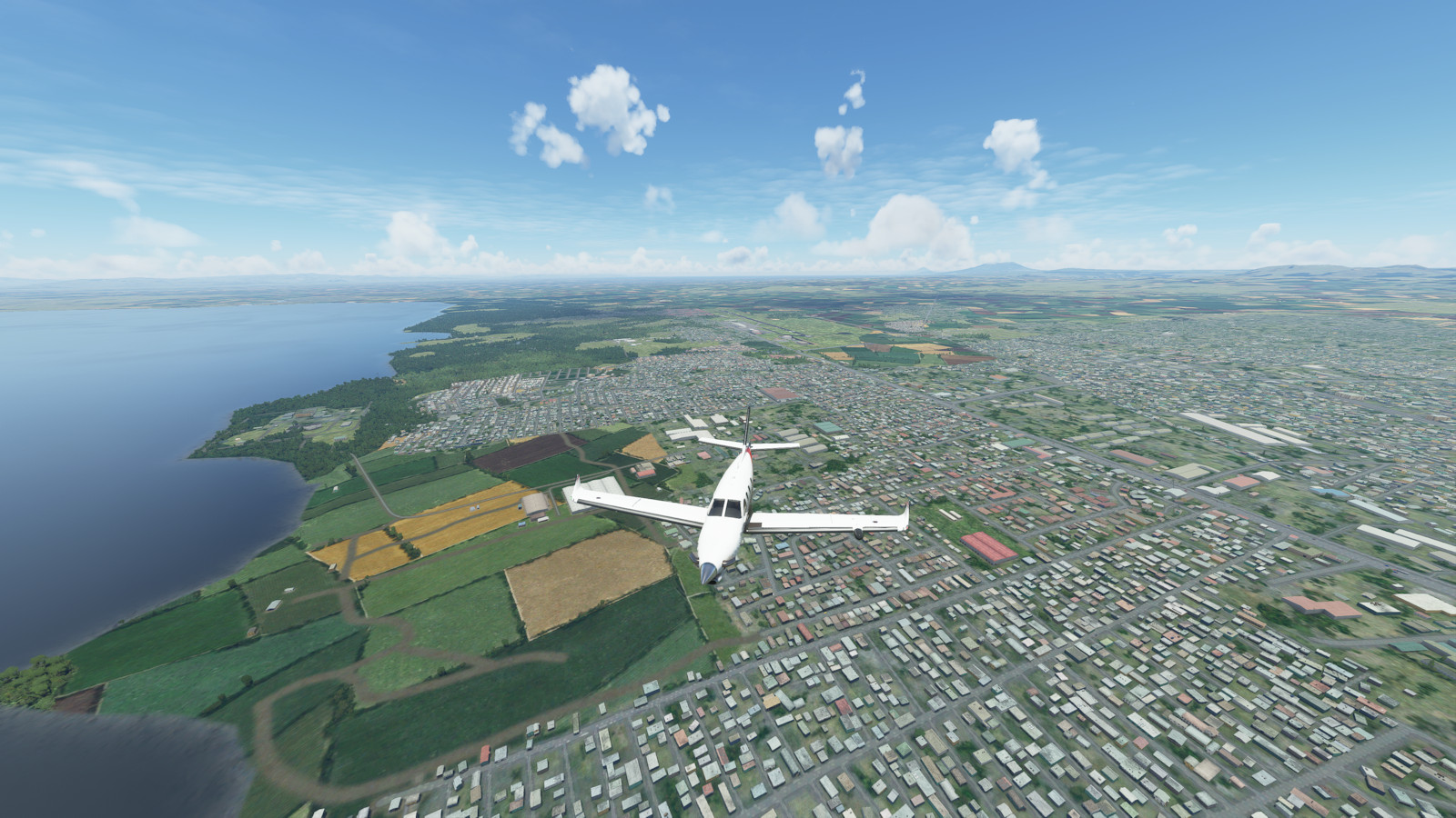
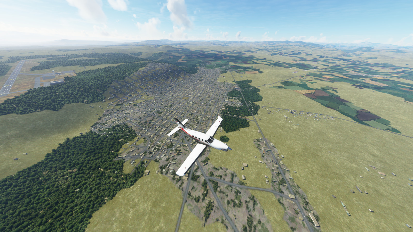
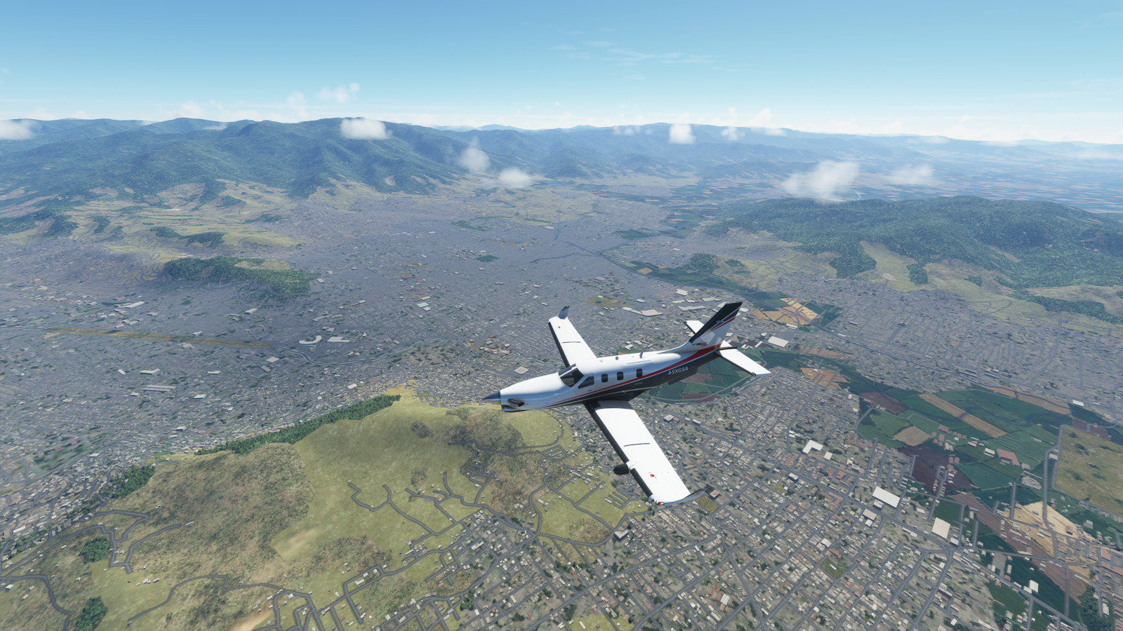
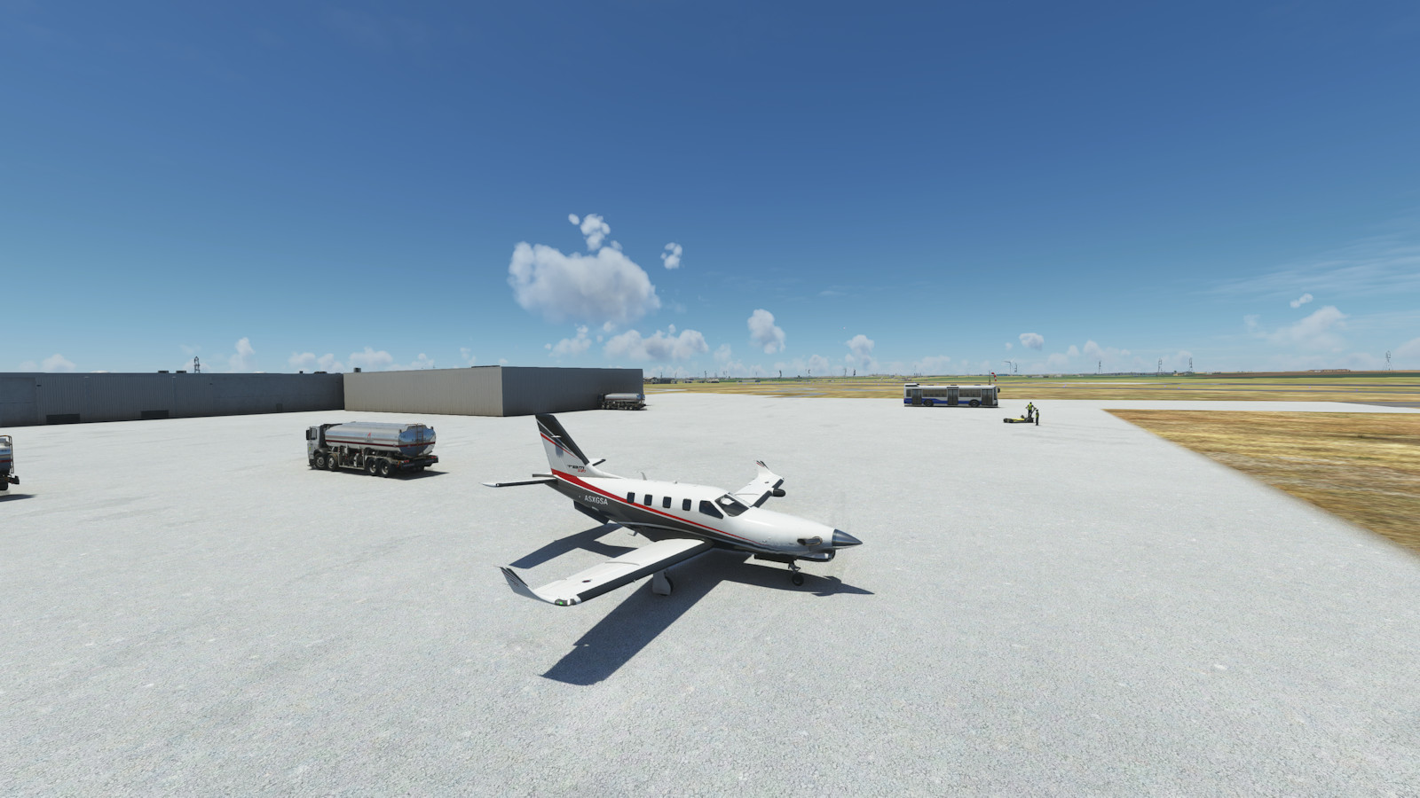
These are highlights from this segment, but you can see the complete collection and larger versions by clicking on a picture.


Select a text link to see more details from each segment of the trip.
Next segment will return you to the beginning of the trip at segment 01.
Thanks for visiting.