Dan Becker's 2021 Round-the-World Plane Trip - Segment 11

This page shares flight plans and screen captures from a virtual round-the-world plane trip. The trip visited all continents and oceans of the world, major cities, landmarks, and world heritage sites.

This is Segment 11 of the thirteen segments of the trip. To go to the home page, or the previous or next page, click one of these text links.

Segment 11 - Coleman Young (KDET) Detroit USA to Santos-Dumont (SBRJ) Rio de Janeiro BRA

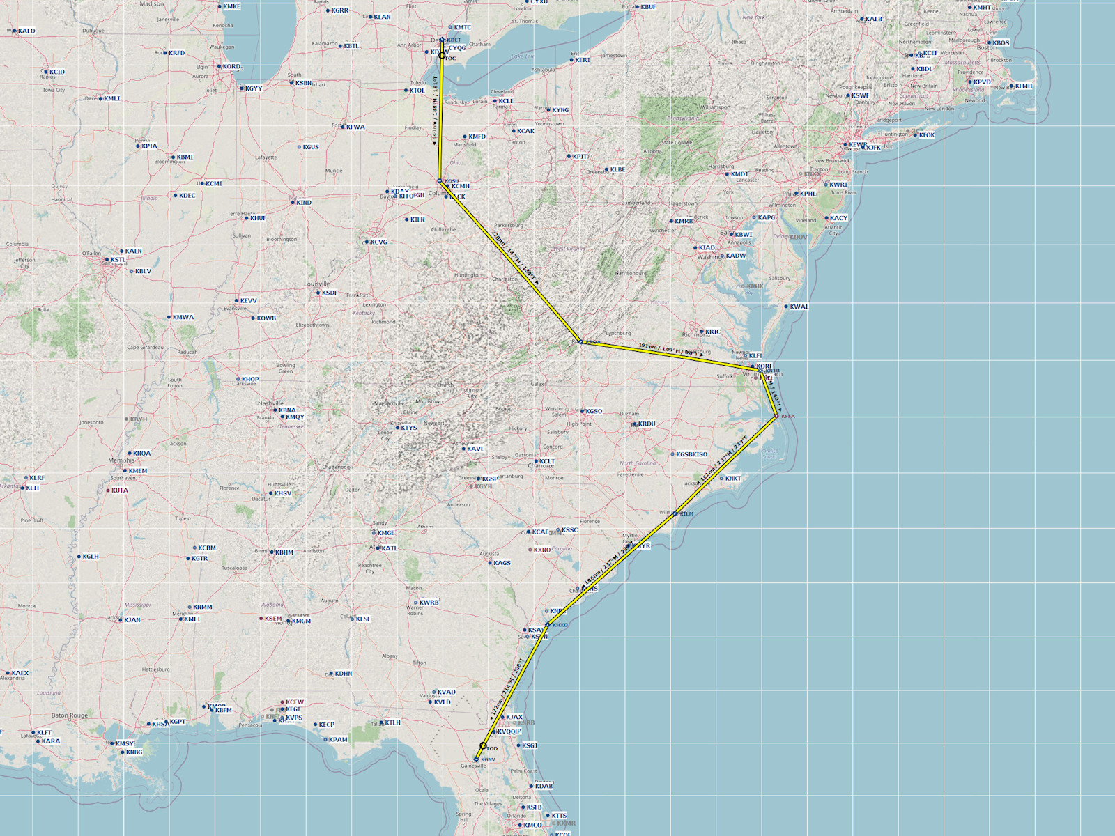
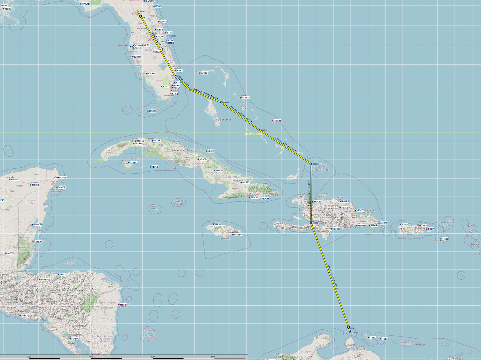
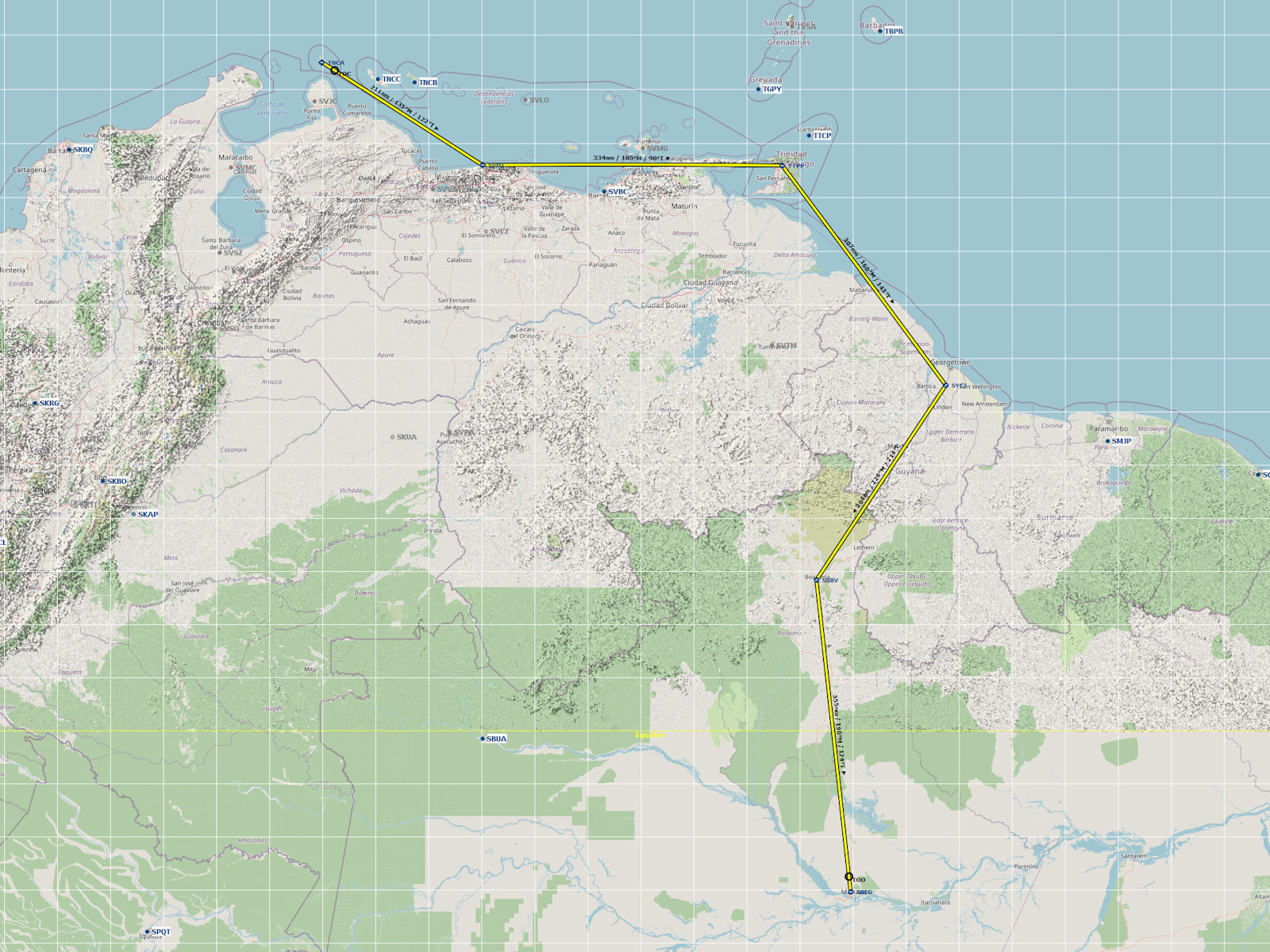
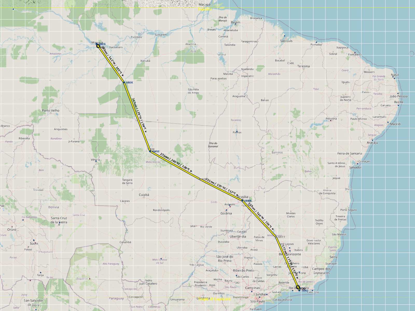
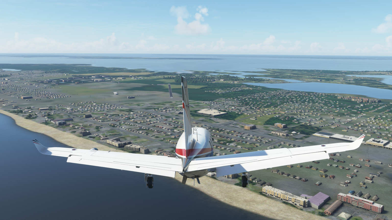
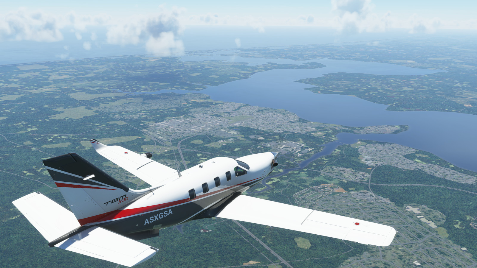
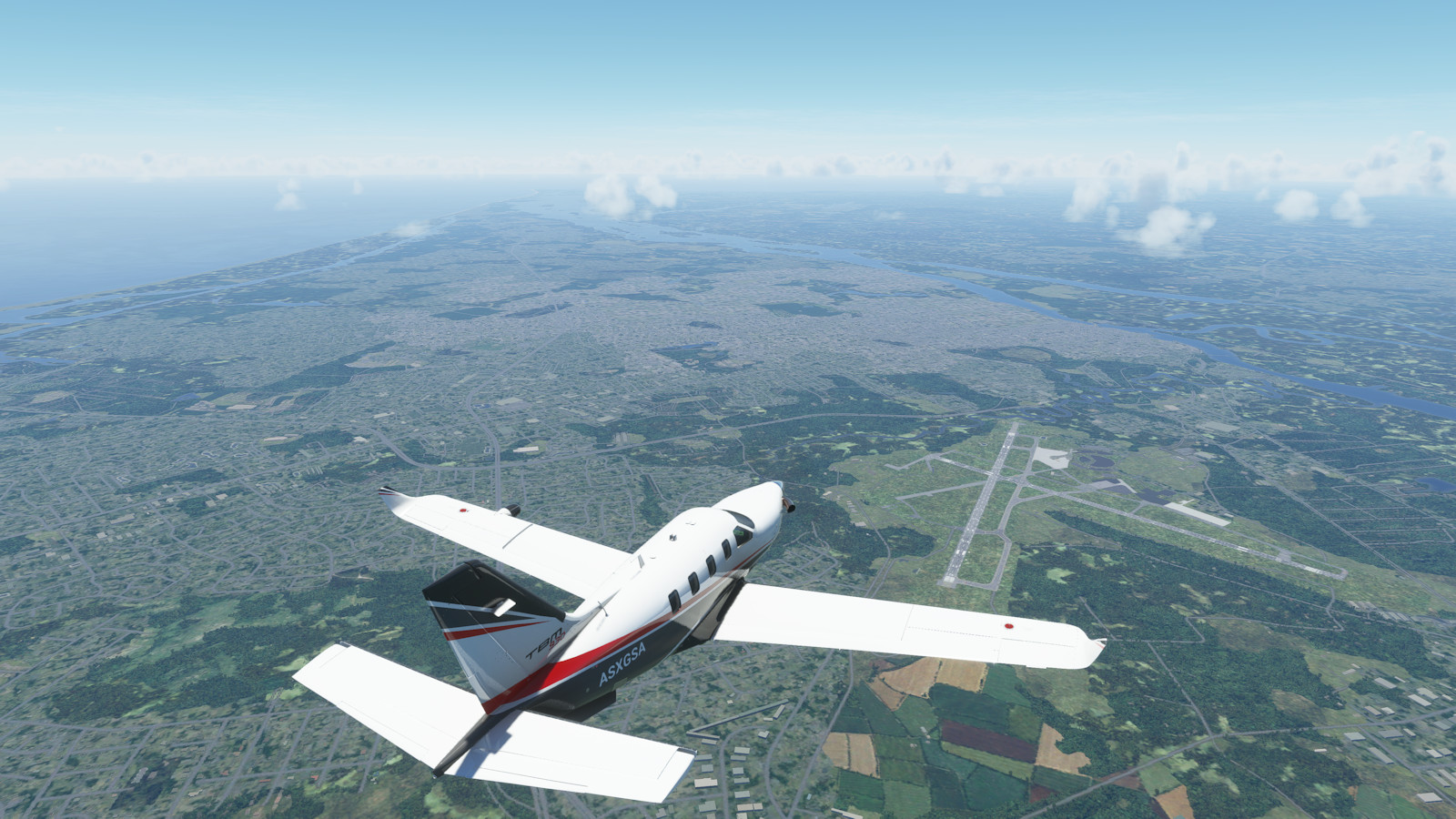
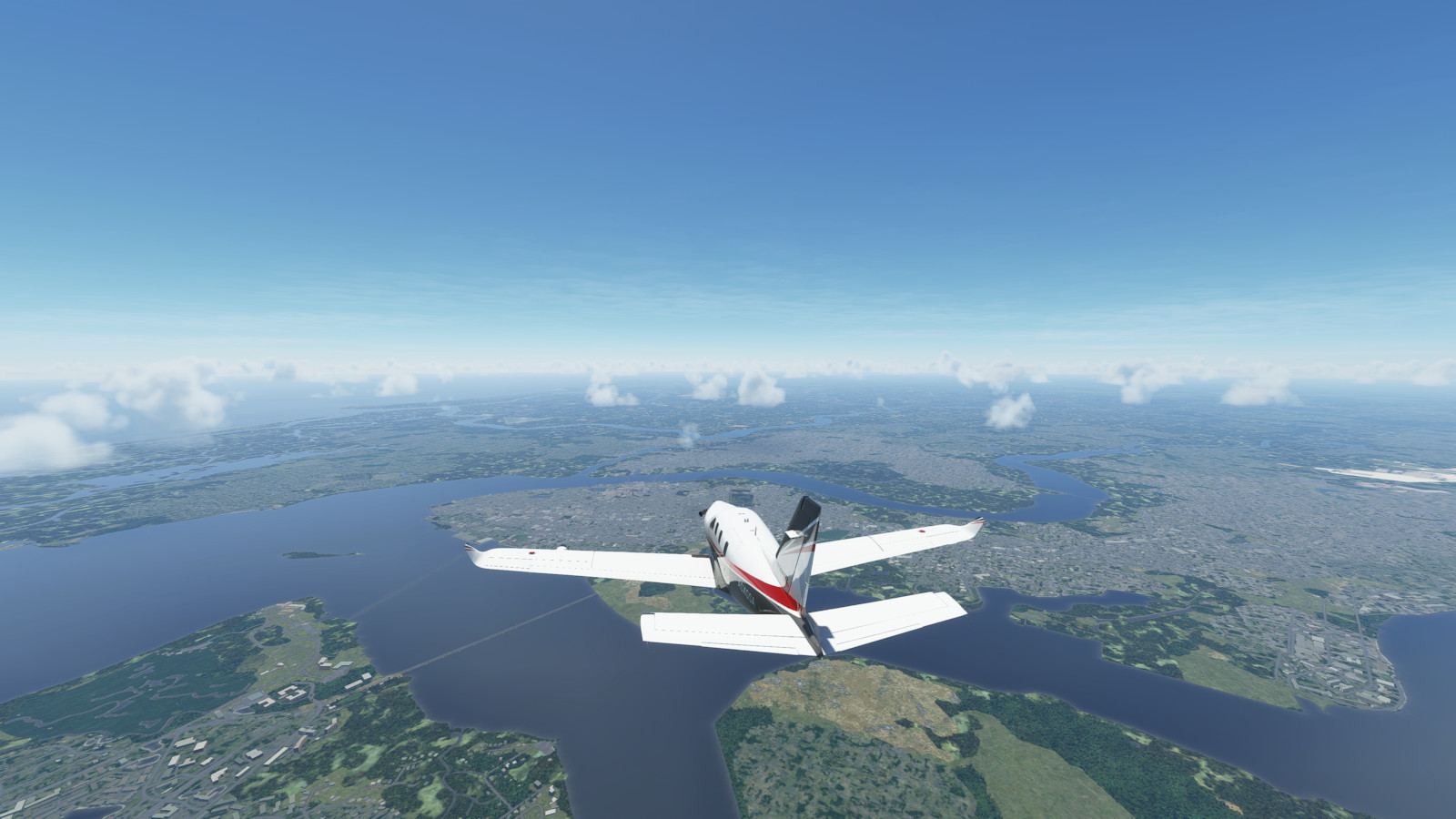
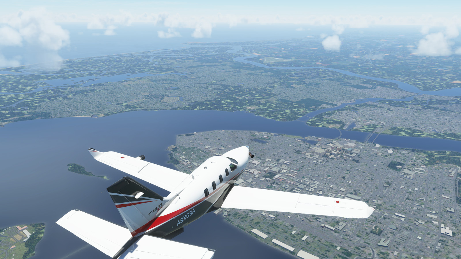
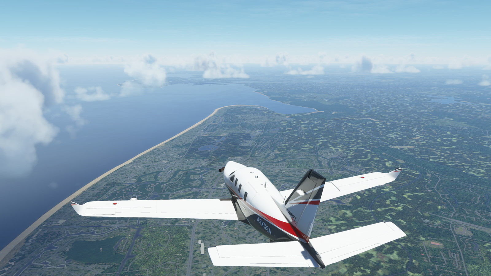
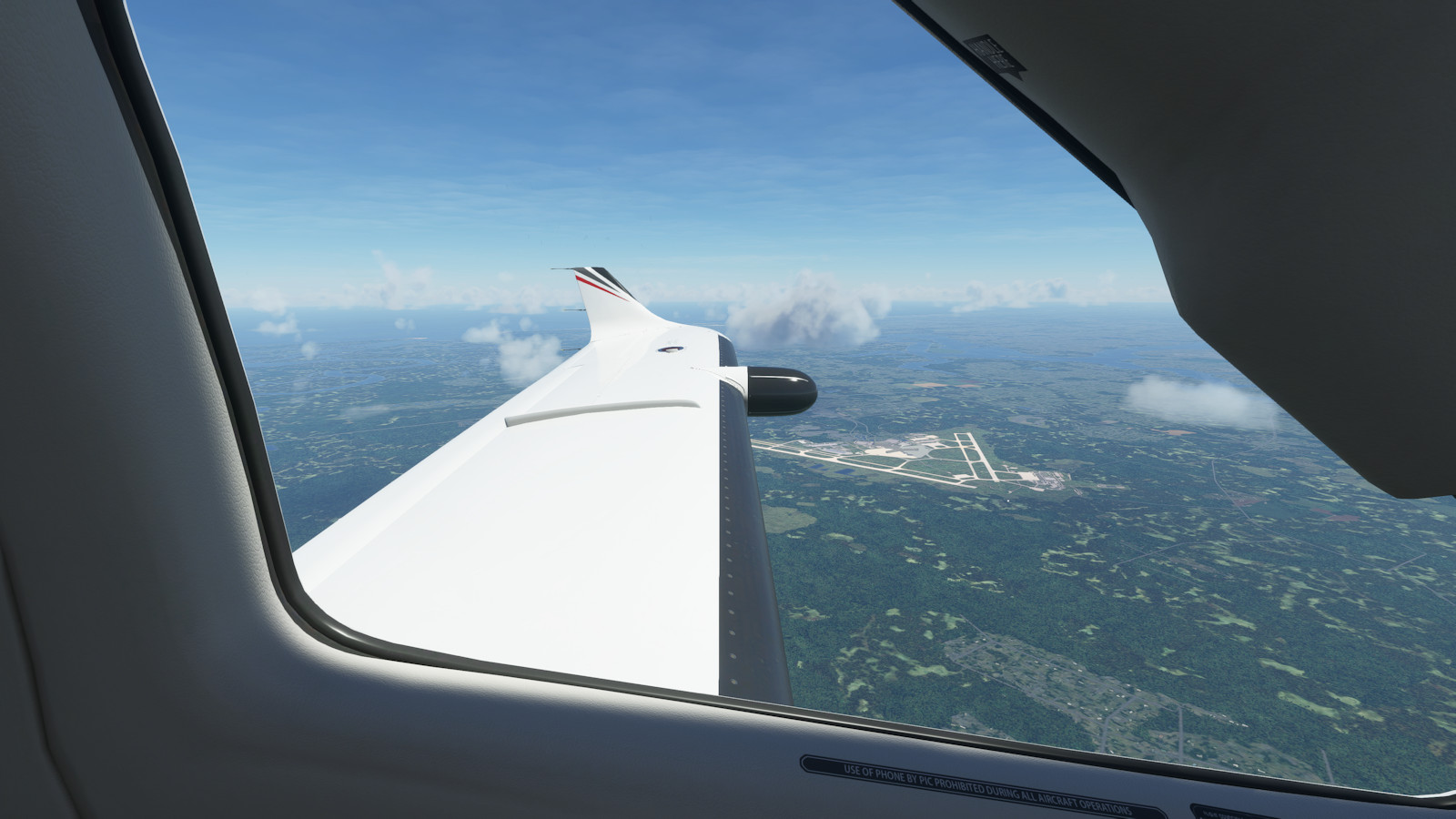
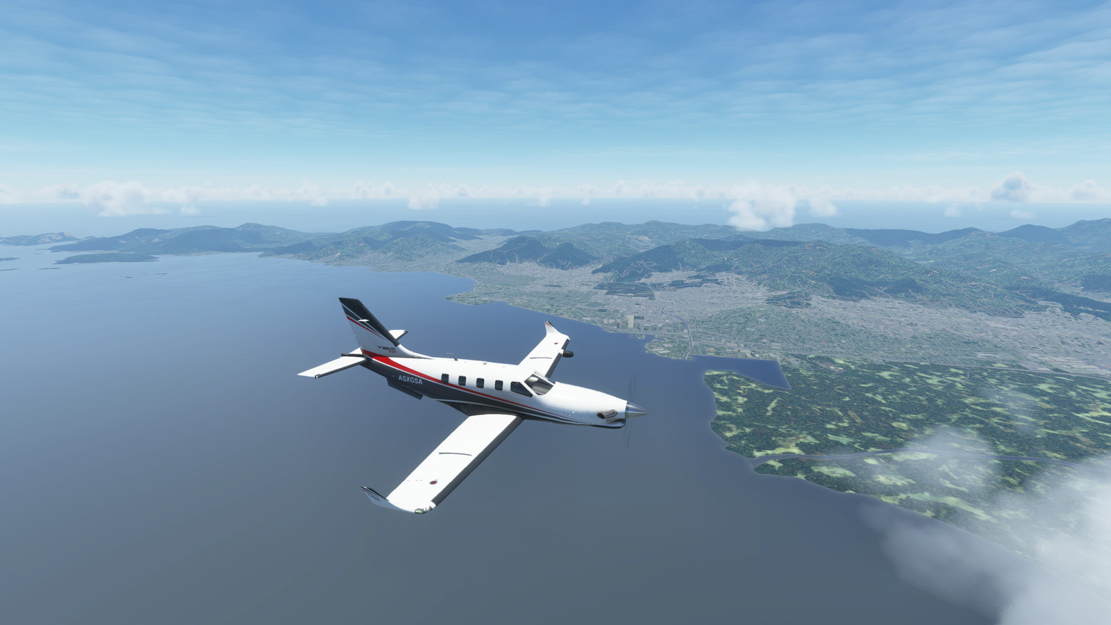
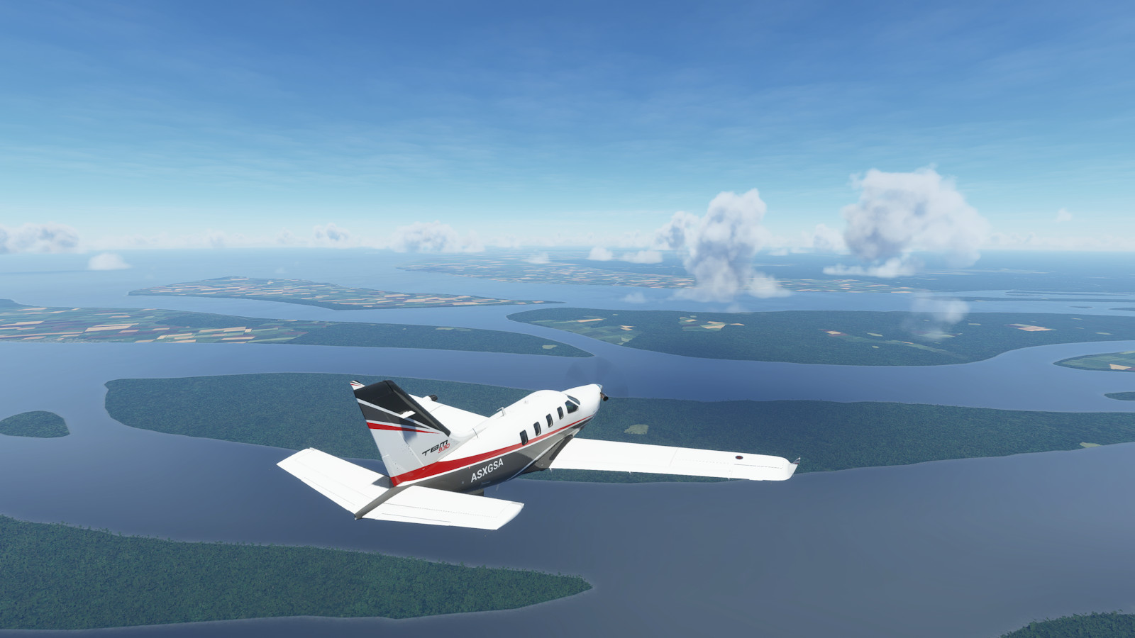
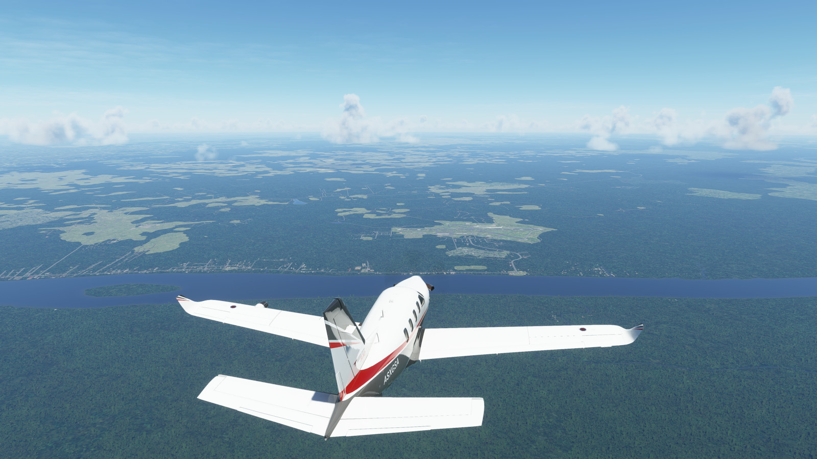
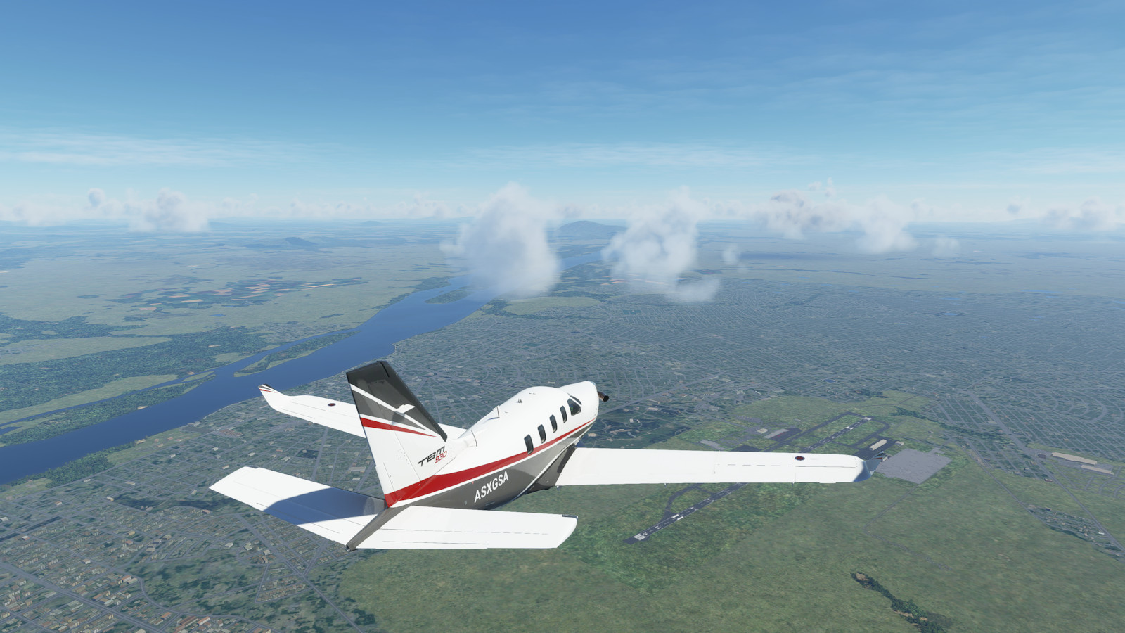
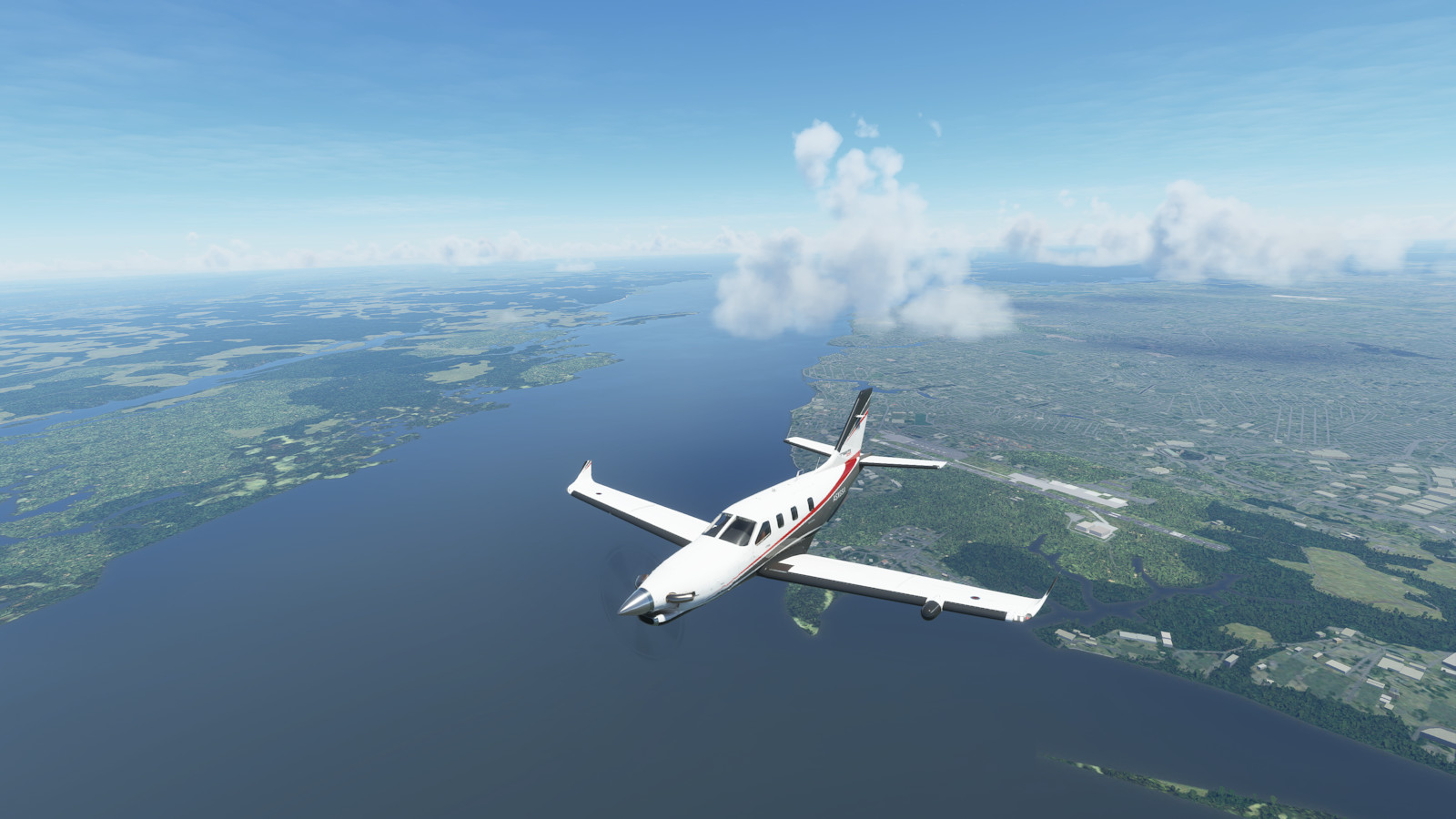
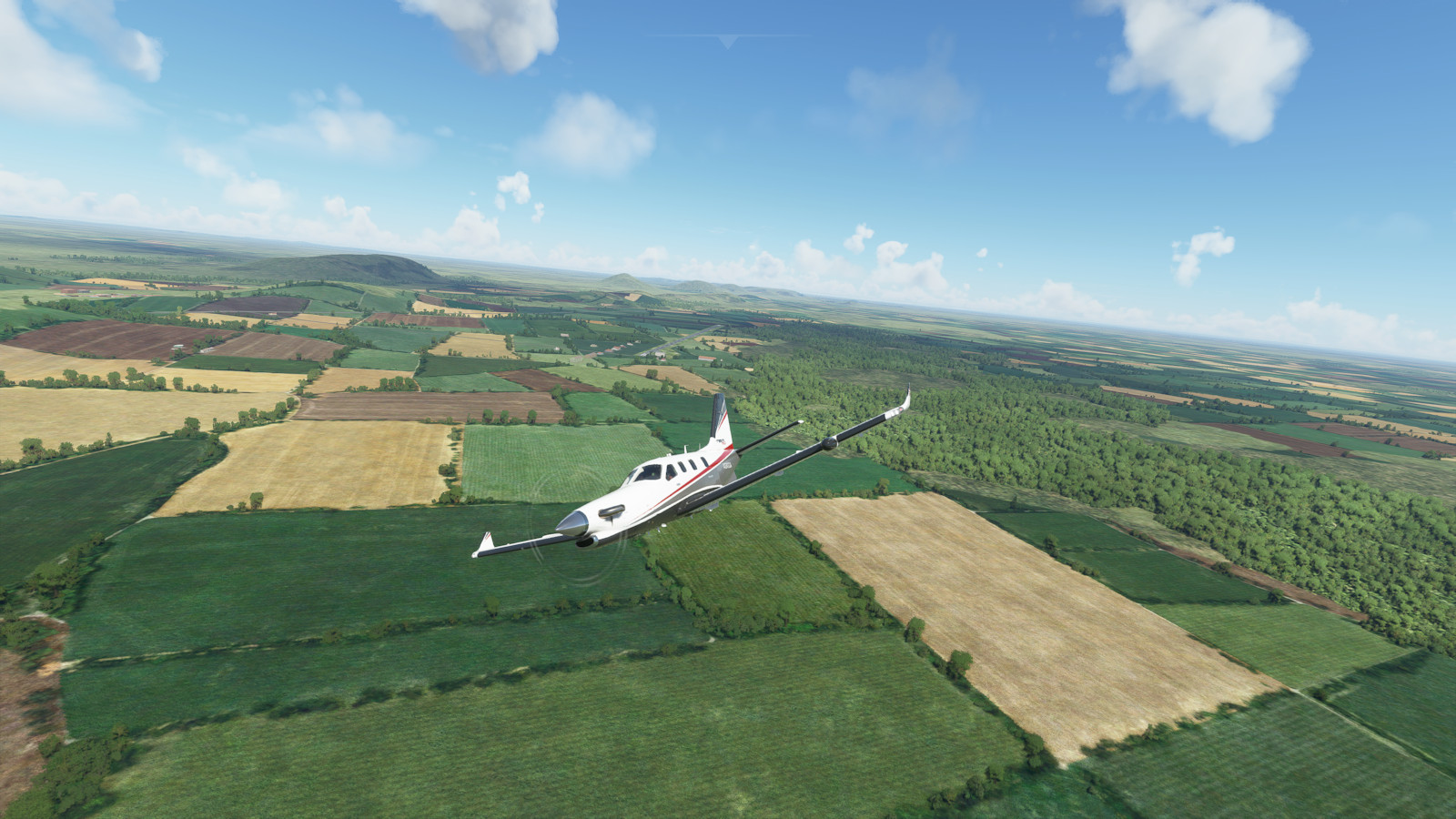
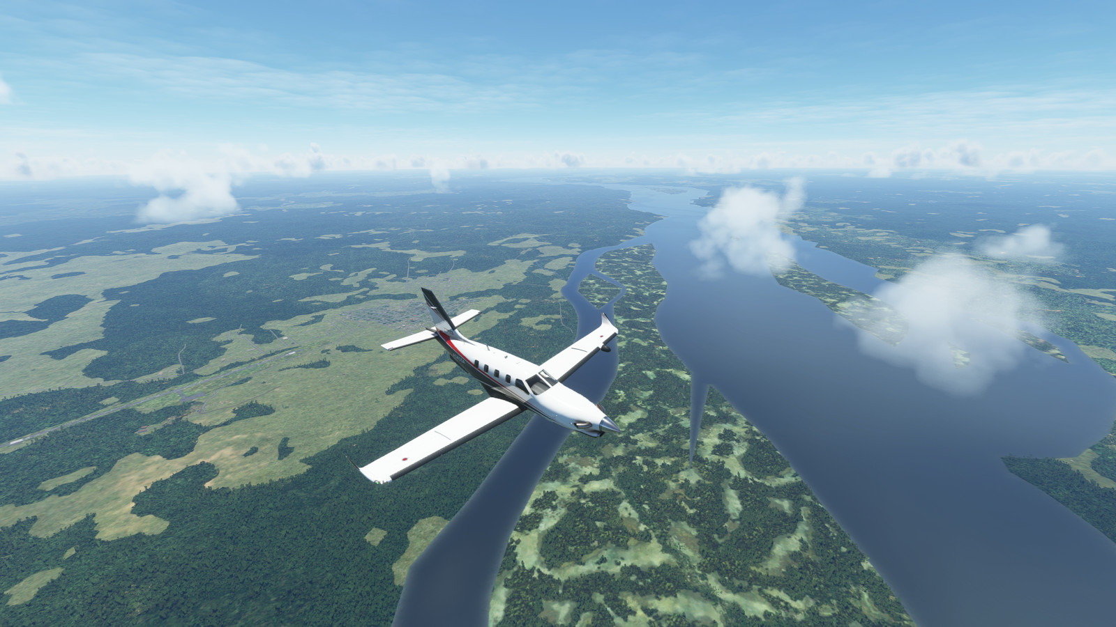
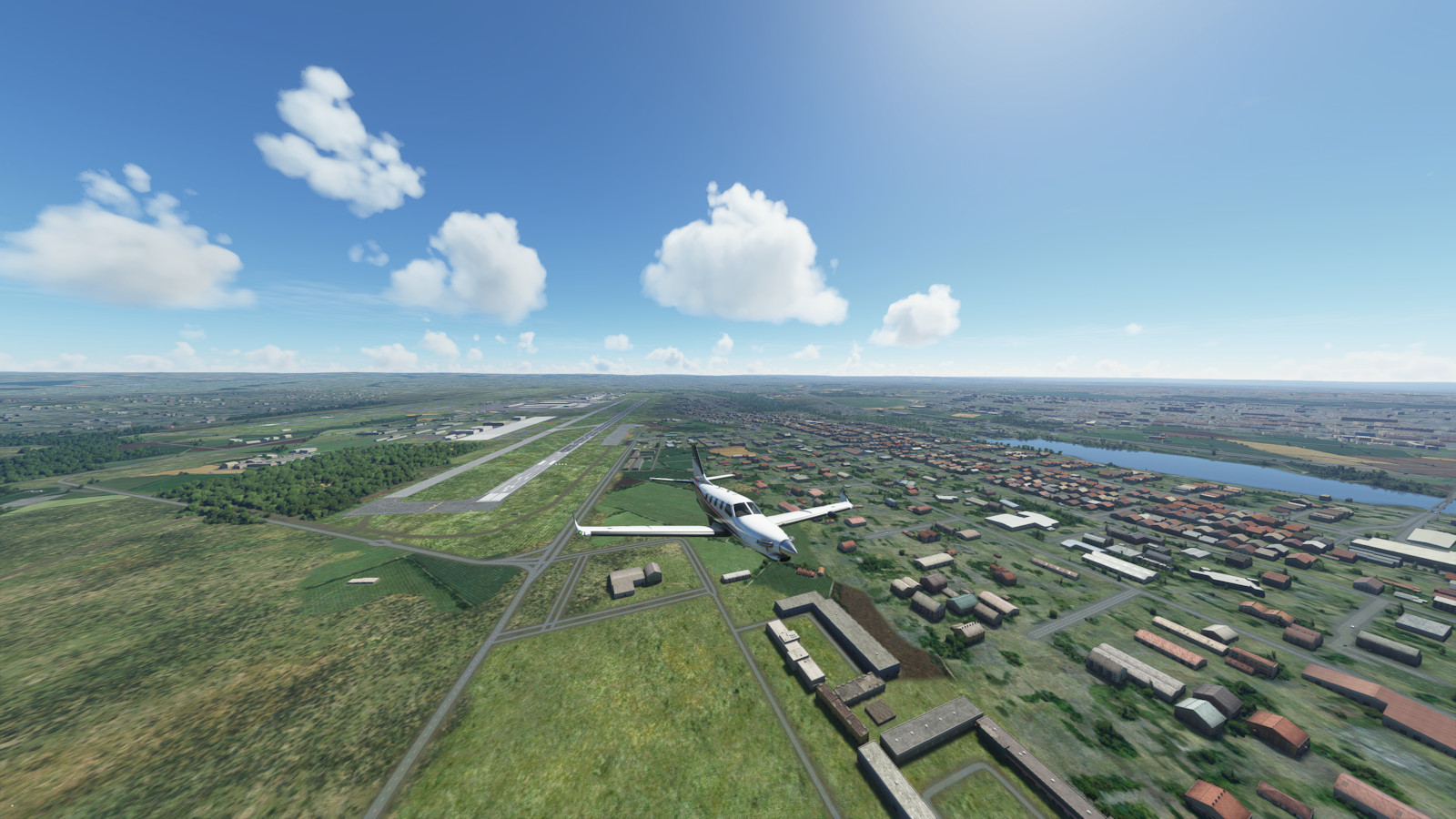
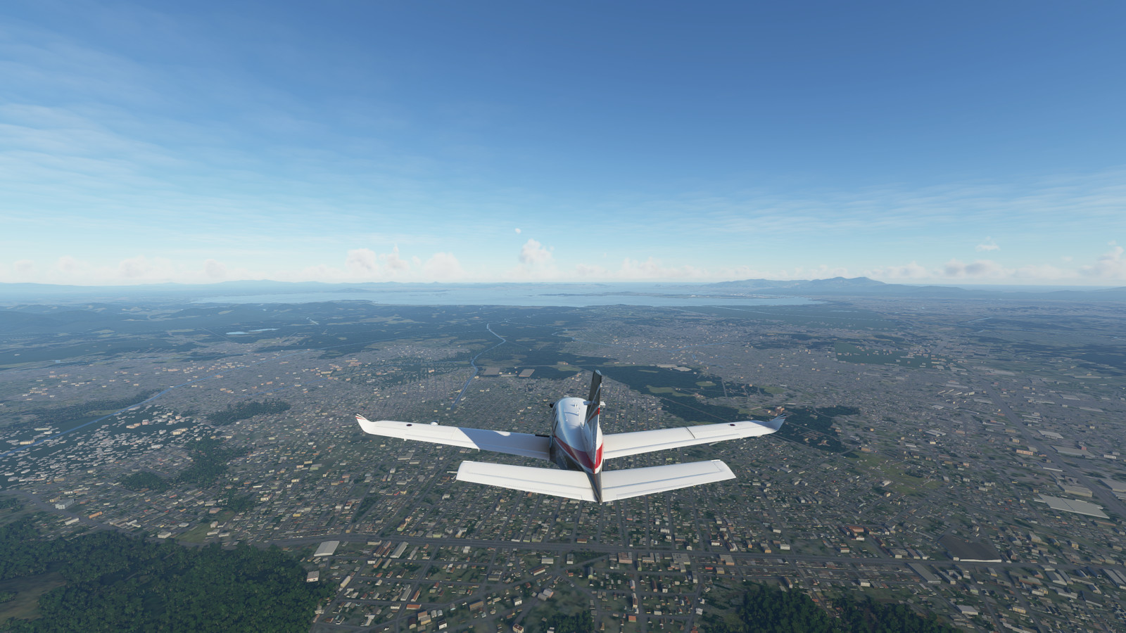
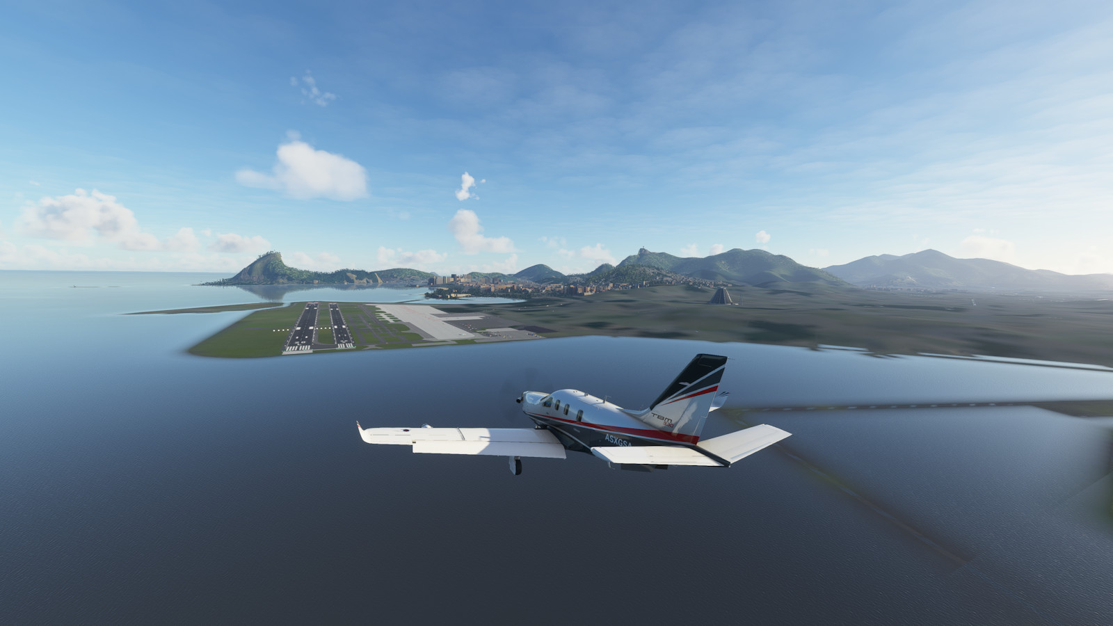
This segment features a trip down the Eastern United States including the Appalachian Mountains and the east coast, many interesting islands of the Caribbean Sea, the northern coastline of South America, and the deep interior of Brazil, landing in Rio de Janeiro.

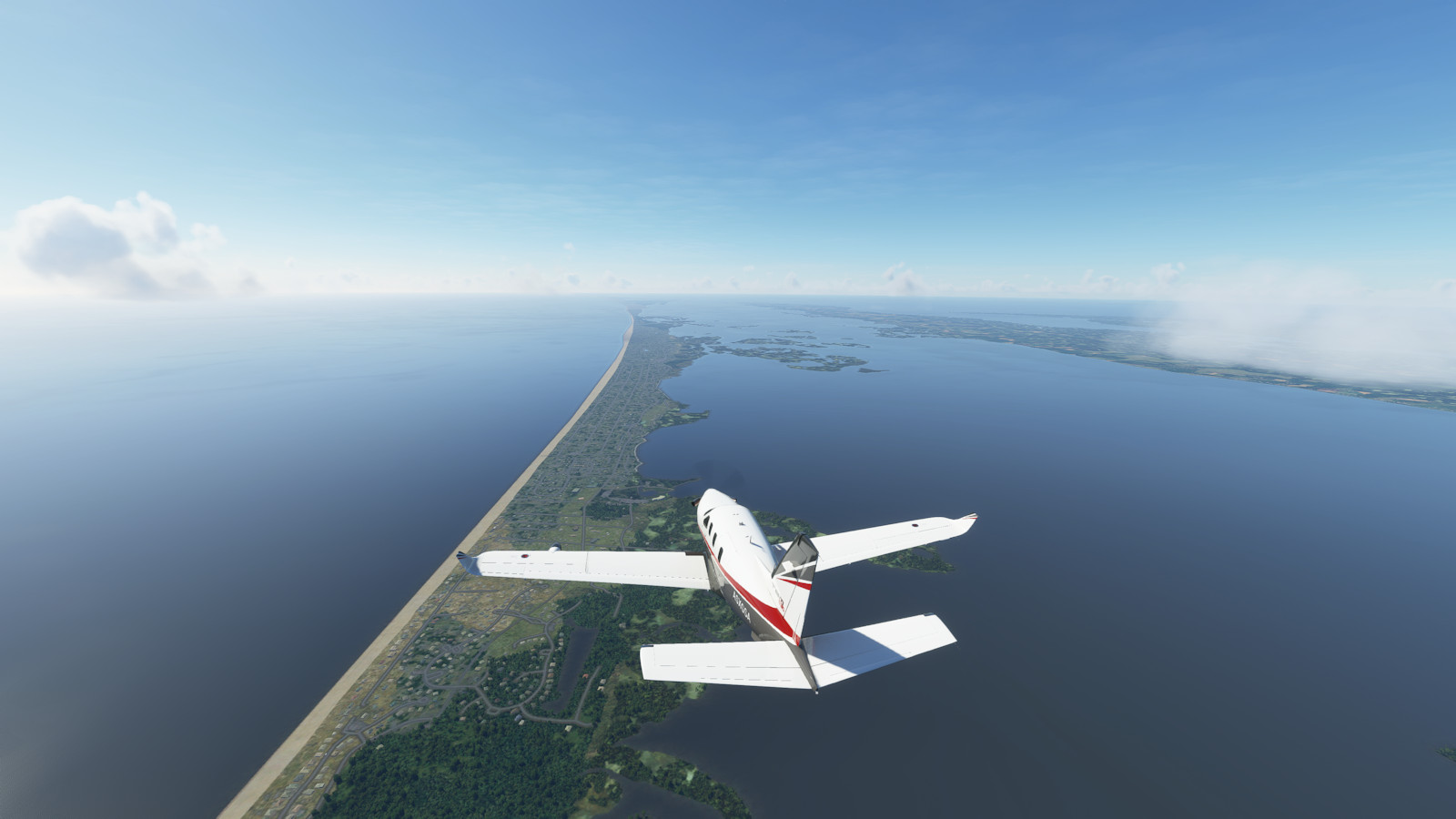
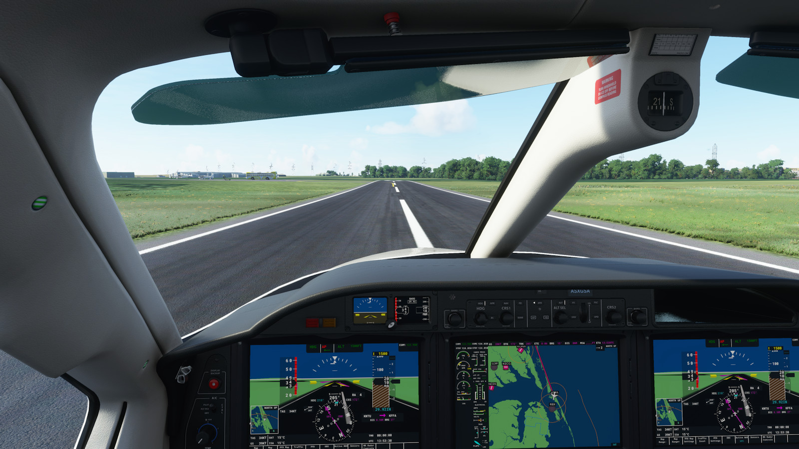
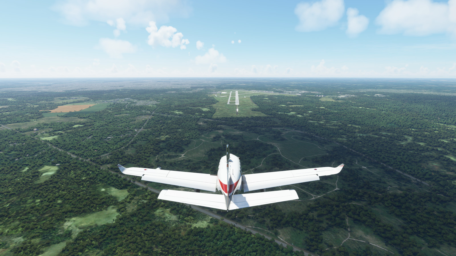
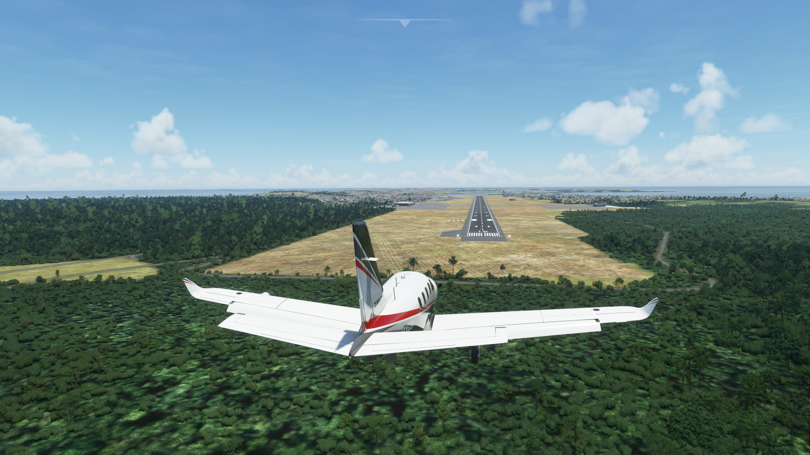
Highlights include a landing at Kill Devil Hills, North Carolina, where the Wright Brothers helped pioneer powered human flight

Flight Plan

Leg CountryCity IdentName Dist
nm
Time
hh:mm
Cumu
nm
Cumu
hh:mm
1 USADetroit KDETColeman A. Young Muni
2 USAColumbus KOSUOhio State University 1400:35 1400:35
3 USARoanoke KROARoanoke Regl Woodrum Field 2200:55 3601:30
4 USAVirginia Beach KNTUOceana Naval Air Station 1910:48 5512:18
5 USAKill Devil Hills KFFAFirst Flight 510:13 6022:31
6 USAWilmington KILMWilmington 1520:38 7543:09
7 USAHilton Head Island KHXDHilton Head Island 1860:47 9403:56
8 USAGainesville KGNVGainesville Rgnl 1720:43 11124:39
9 USABoca Raton KBCTBoca Raton 2290:57 13415:36
10 BHSSouth Bimini MYBSSouth Bimini 610:15 14025:51
11 BHSNassau MYNNLynden Pindling Intl 1050:26 15076:17
12 BHSStella Maris MYLSStella Maris 1490:37 16566:54
13 BHSProvidenciales Island MBPVProvidenciales Intl 1990:50 18557:44
14 HTIPort Au Prince MTPPPort Au Prince Toussaint Intl 1920:48 20478:32
15 ABWOranjestad TNCAReina Beatrix Intl 3881:37 243510:09
16 VENCaracas SVMICaracas Simon Bolivar Intl 2110:53 264611:02
17 TTOPort of Spain TTPPPiarco Intl 3341:23 298012:25
18 GUYGeorgetown SYCJCheddi Jagan Intl 3071:17 328713:42
19 BRABoa Vista SBBVBoa Vista Intl 2641:06 355114:48
20 BRAManaus SBEGEduardo Gomes 3551:29 390616:17
21 BRAJacareacanga SBEKJacareacanga - Rio Tapajos 2350:59 414117:16
22 BRASinop SWSISinop 3631:31 450418:47
23 BRABrasilia SBBRPresidente Juscelino Kubitsch 5072:07 501120:54
24 BRARio De Janeiro SBRJSantos-Dumont 5012:06 551223:00

Click on the image to get a larger photo gallery view of the flight plans. Click "Save Link As..." on the text link to save a Little Nav Map flight plan file.

Seg11 plan
Seg11 plan
Seg11 day 49 plan
Seg11 day 49 plan
Seg11 day 50 plan
Seg11 day 50 plan
Seg11 day 51 plan
Seg11 day 51 plan
Seg11 day 52 plan
Seg11 day 52 plan

Pictures

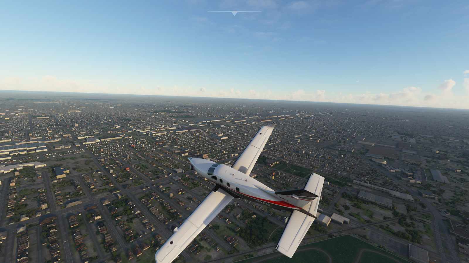
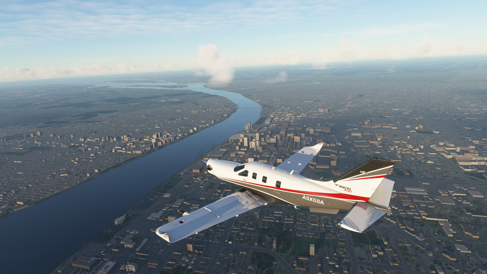
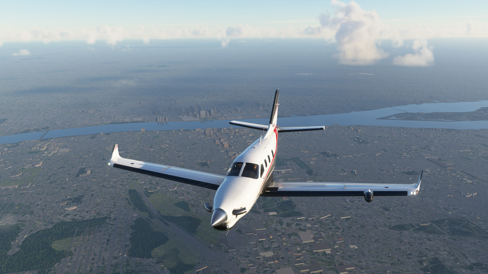
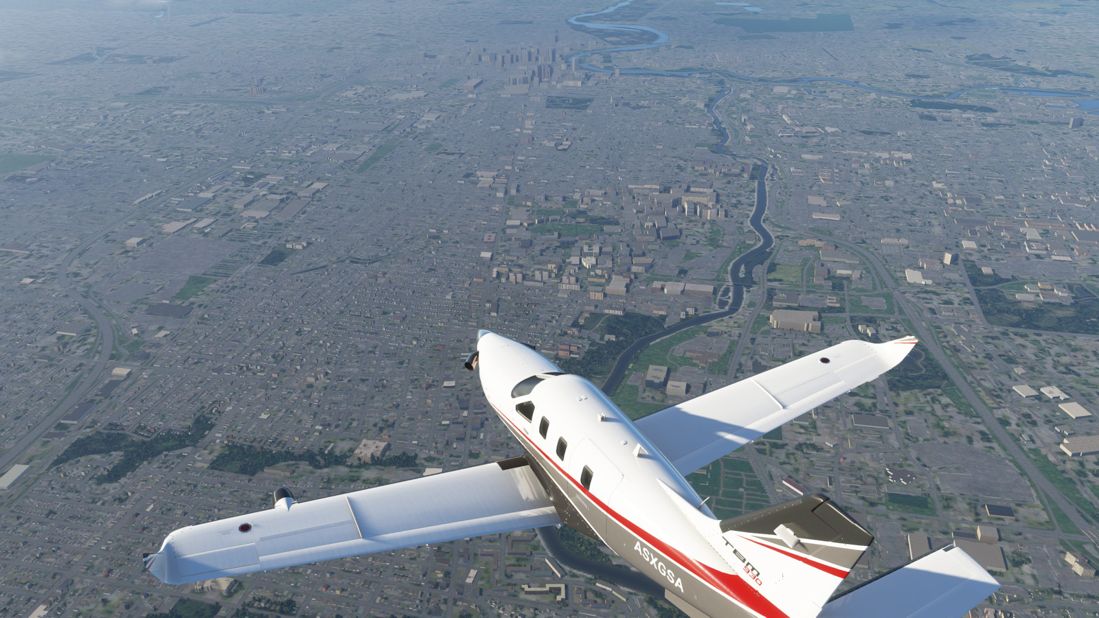
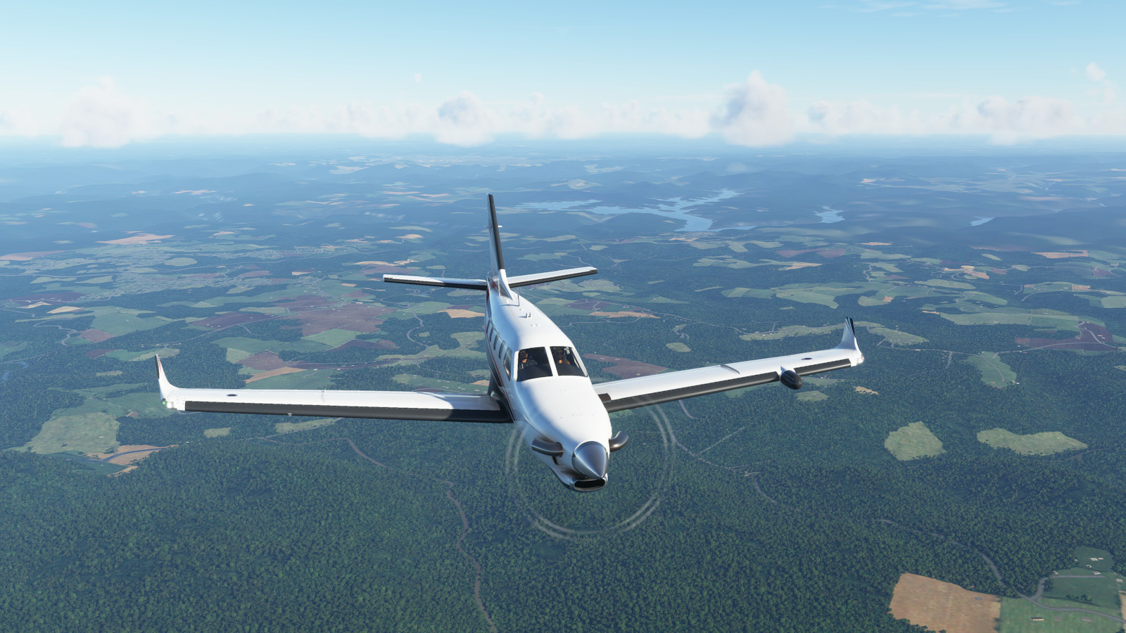
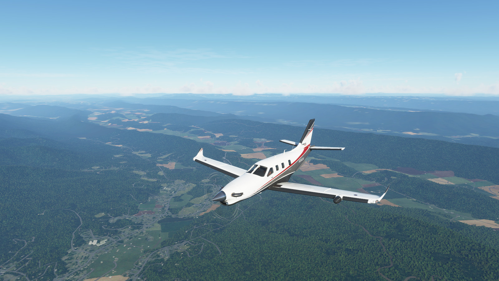
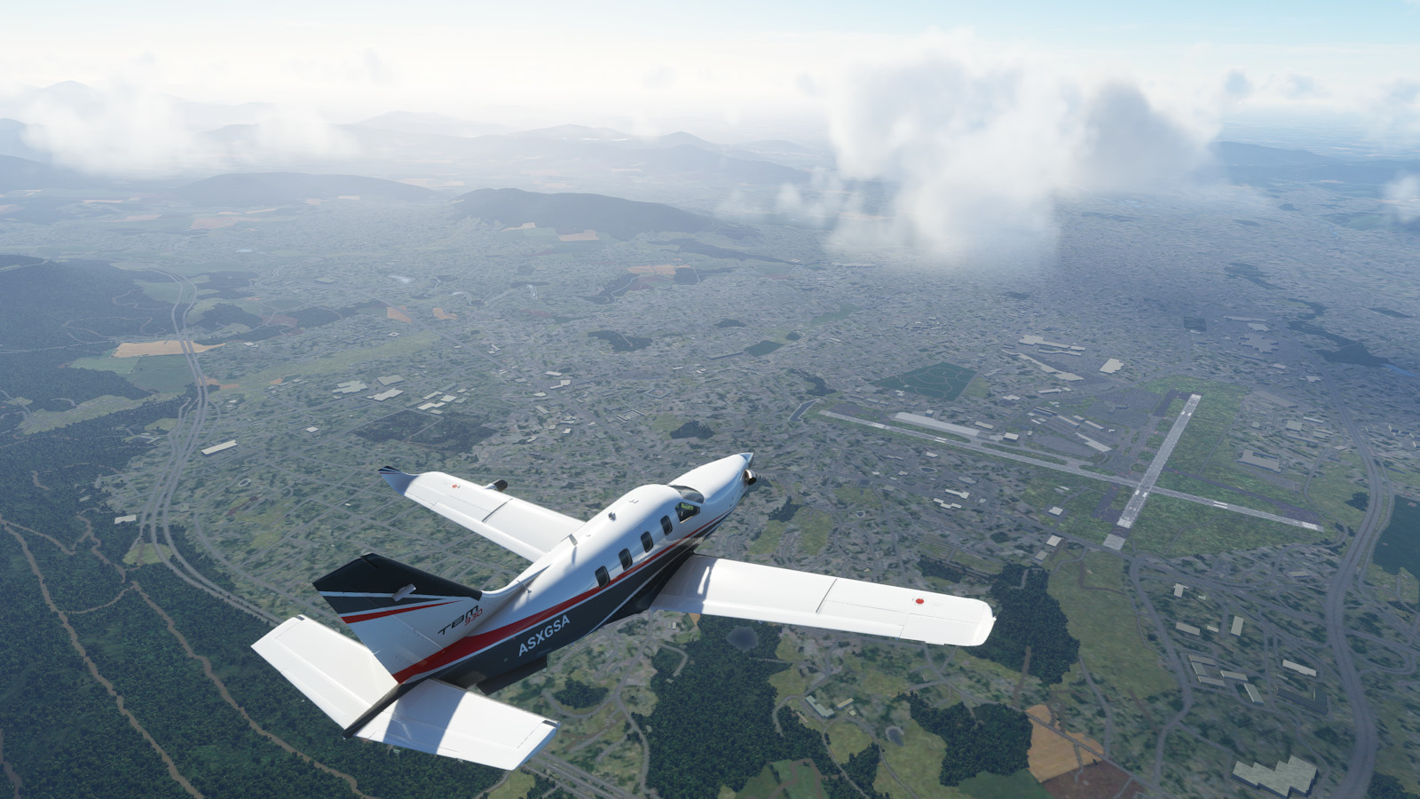
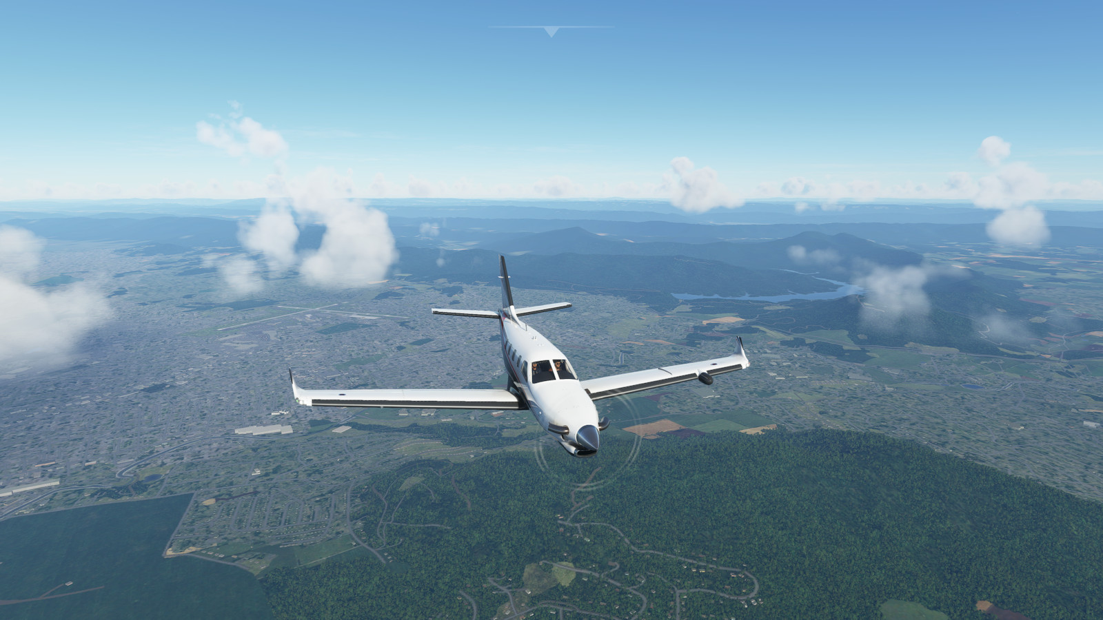
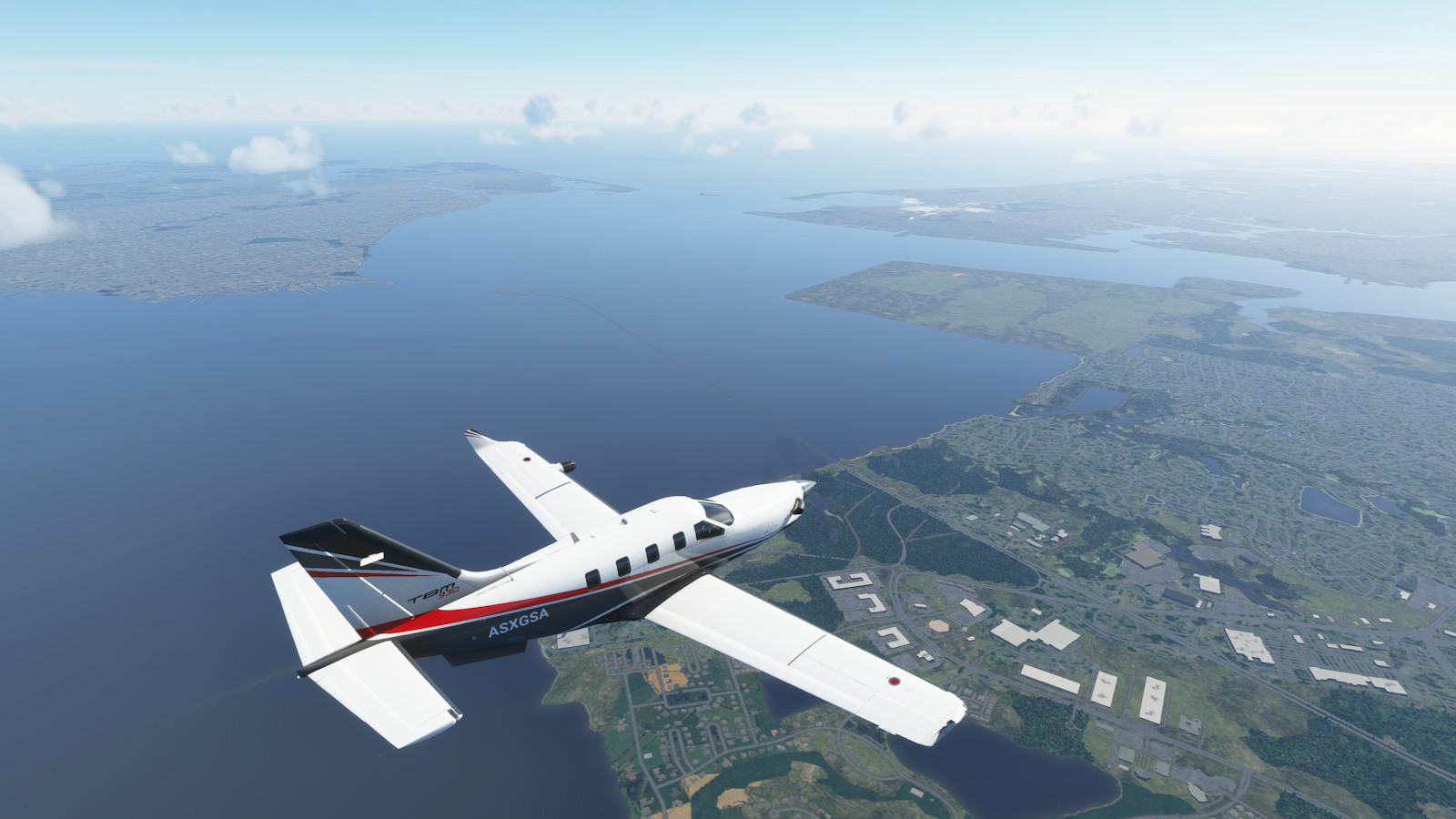
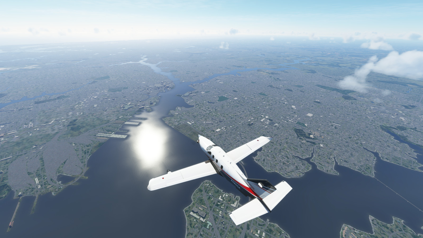
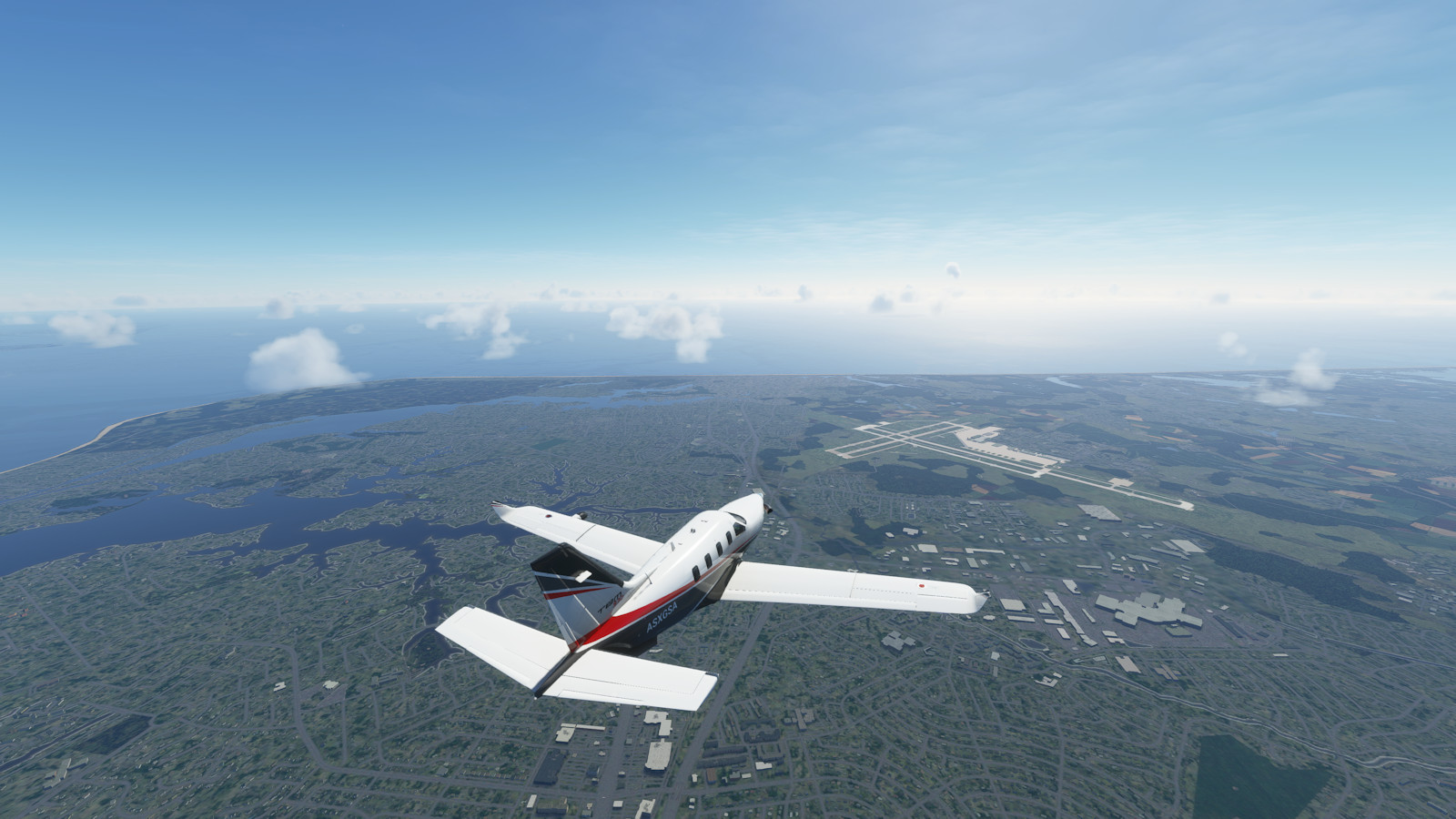
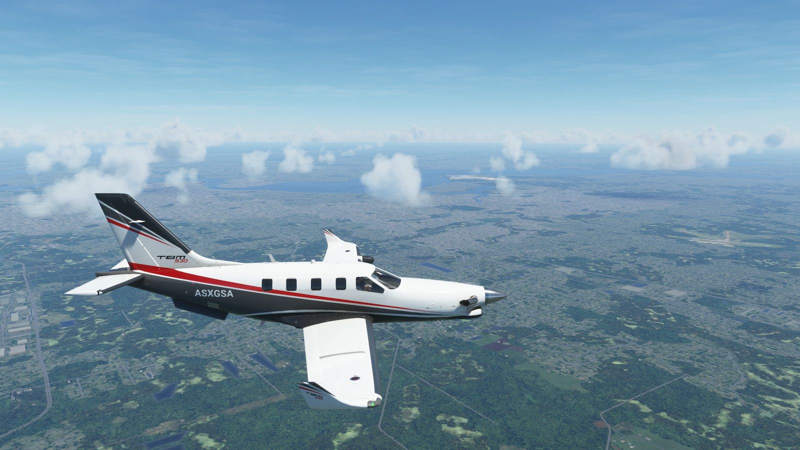
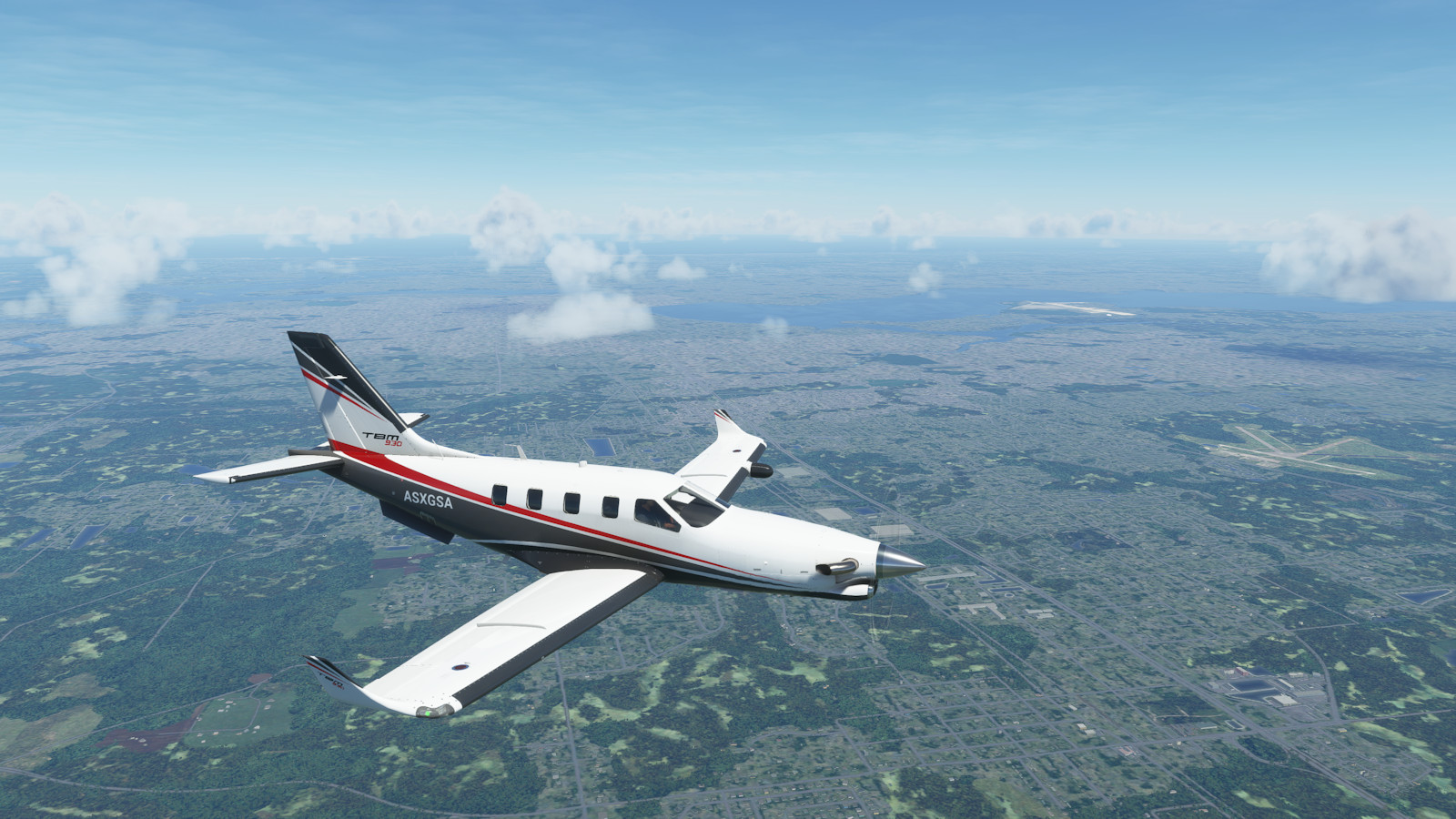
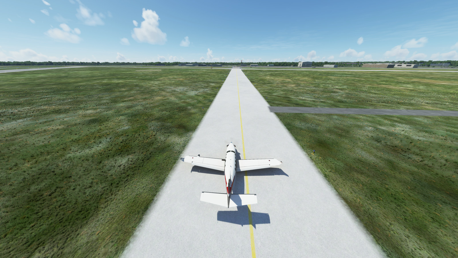
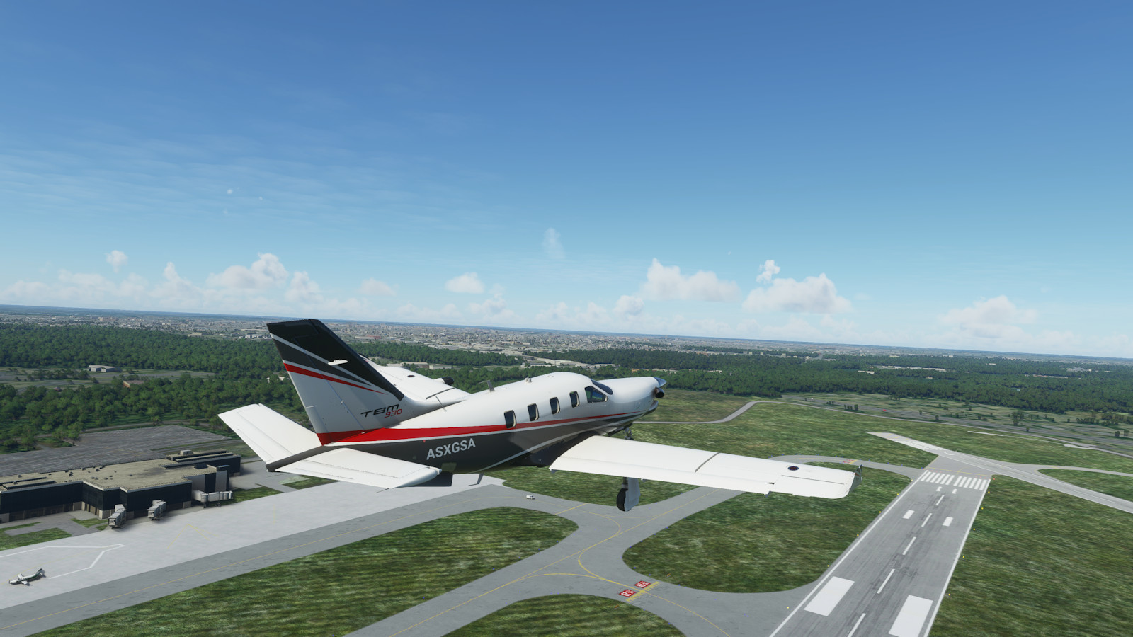
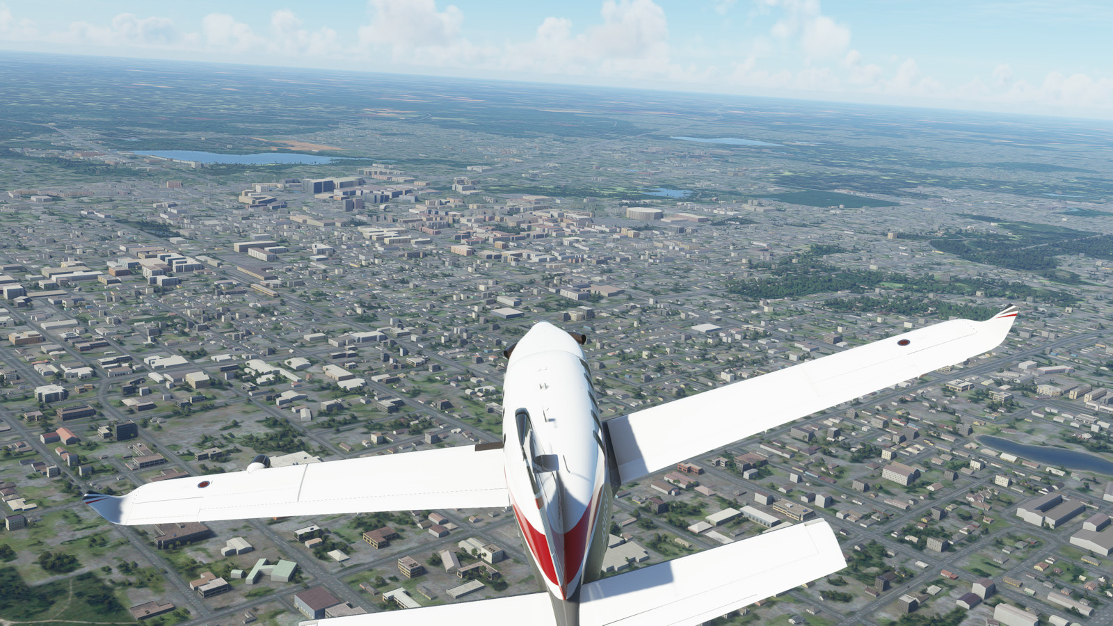
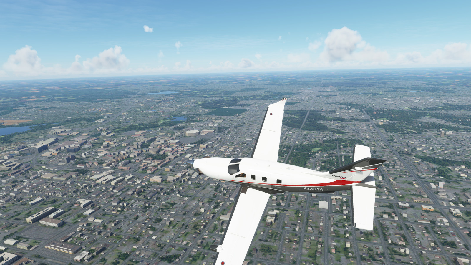
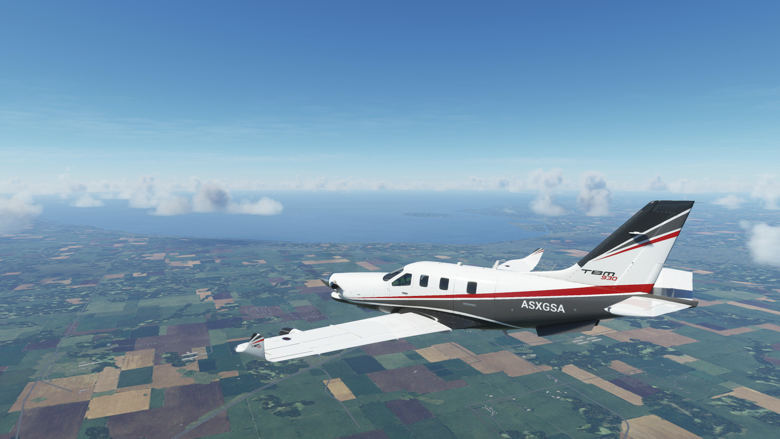
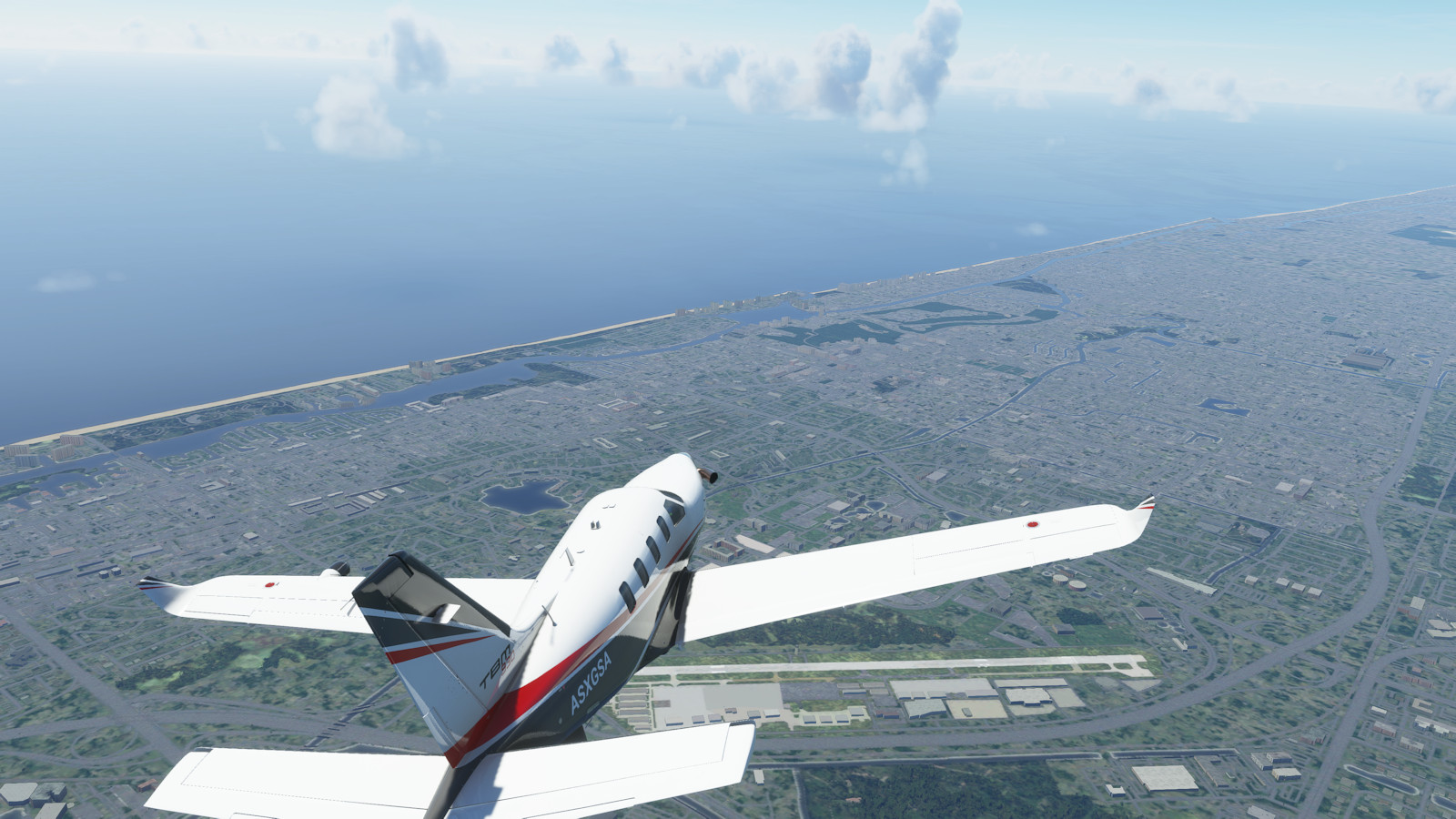
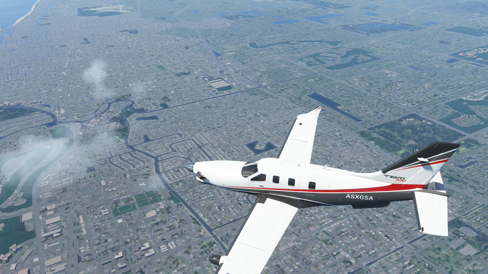
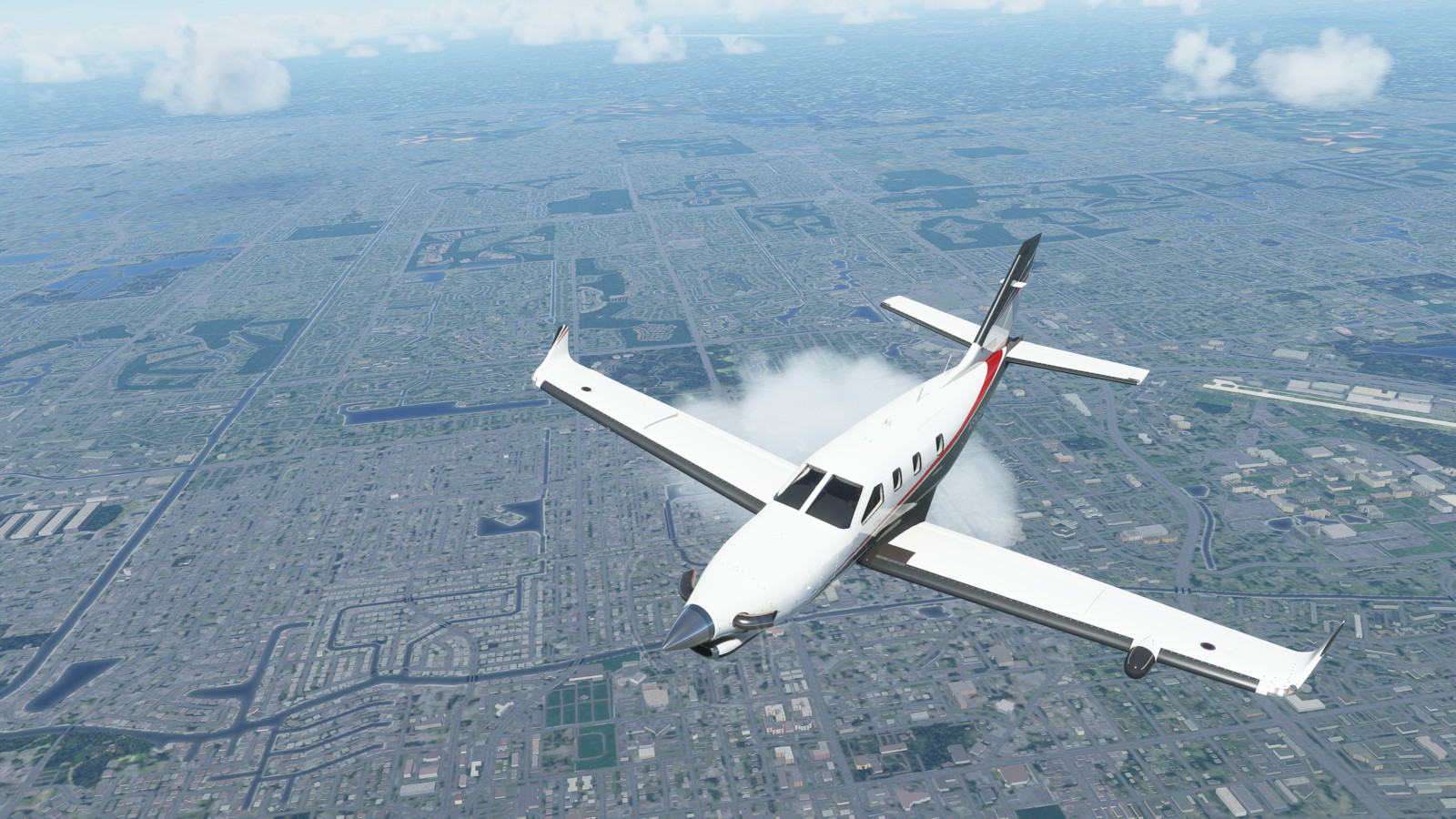
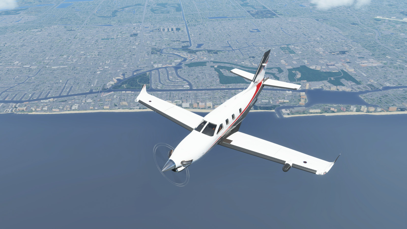
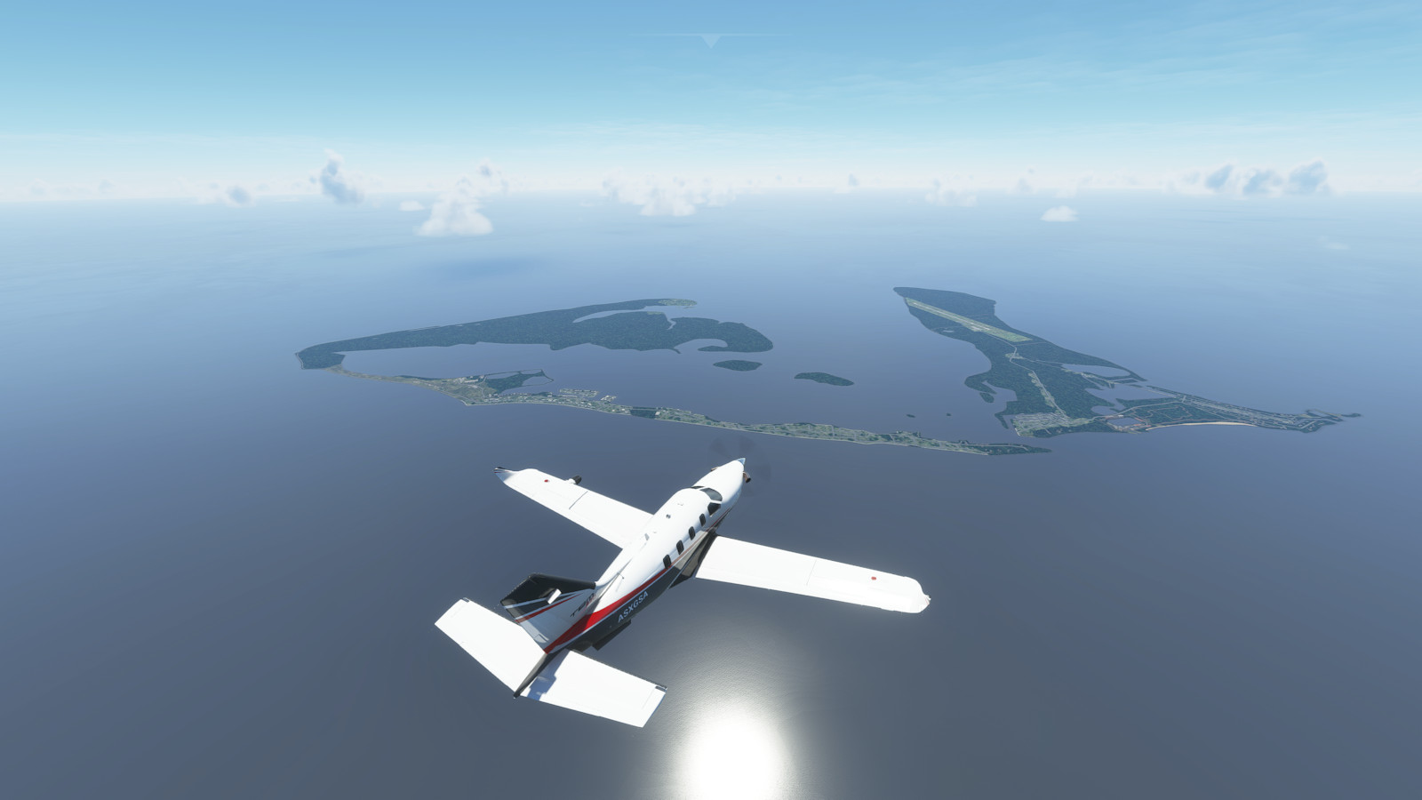
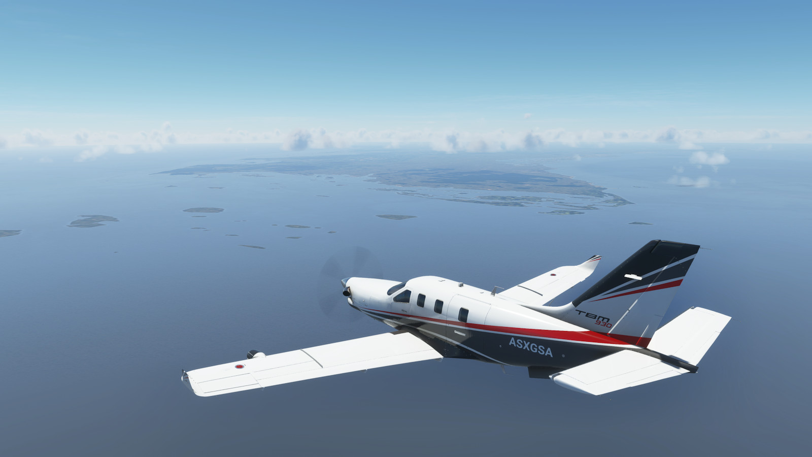
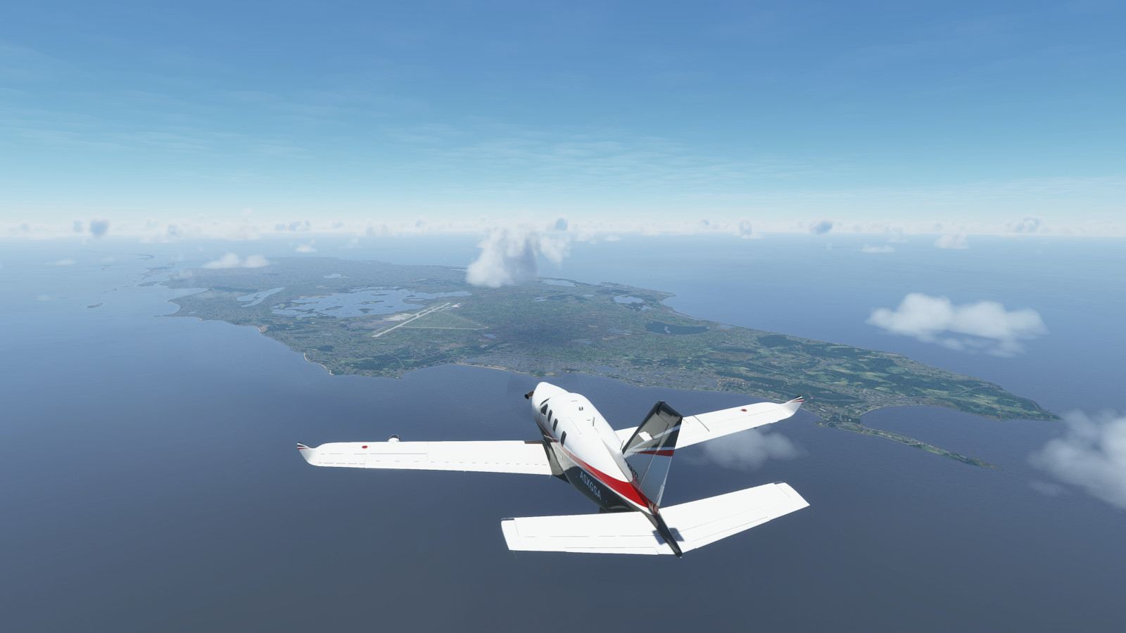
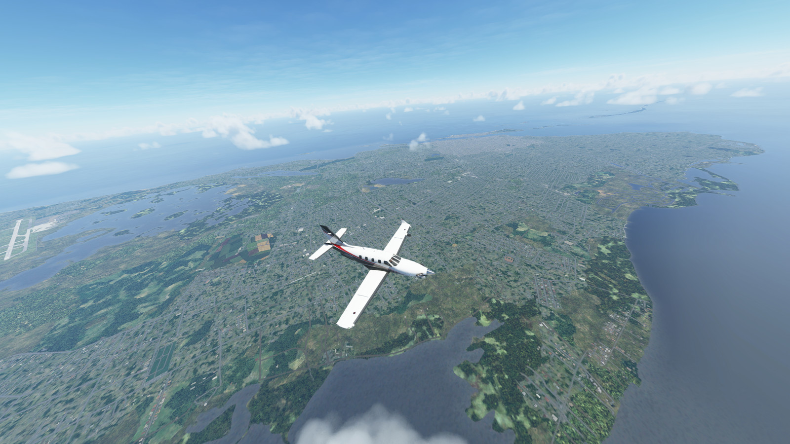
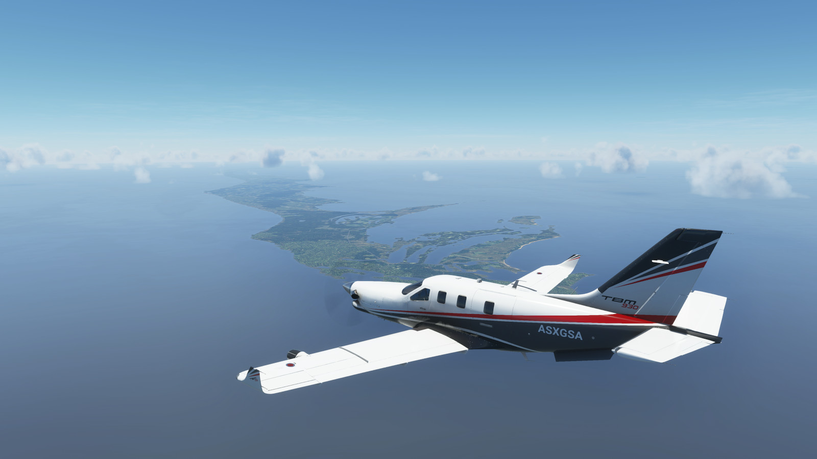
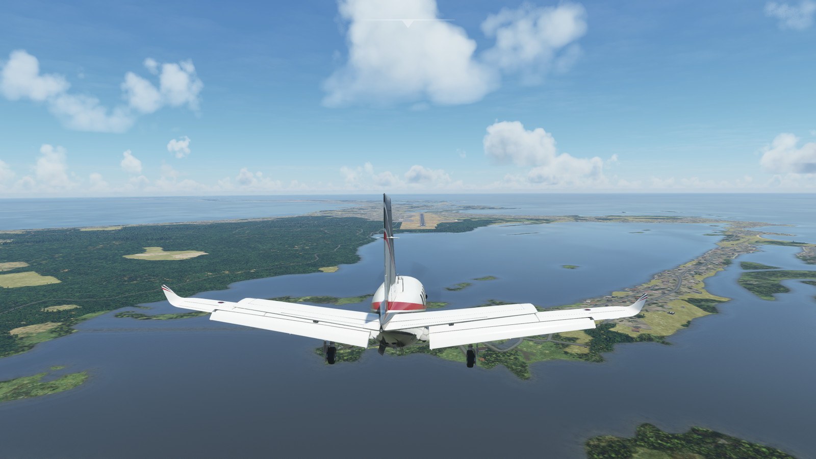
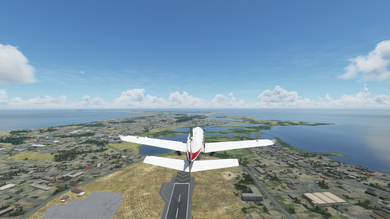
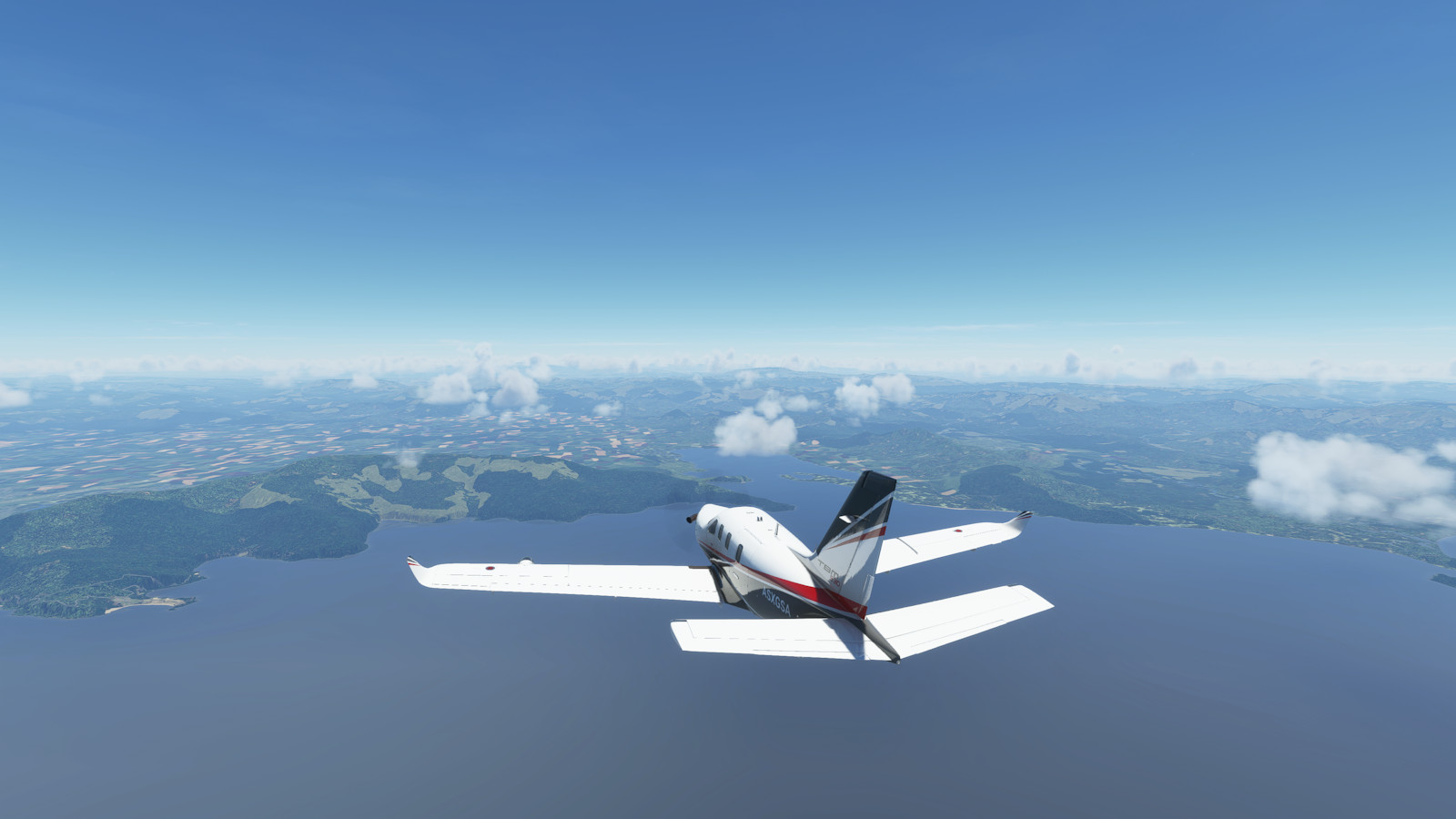
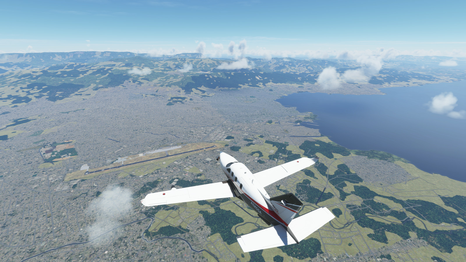
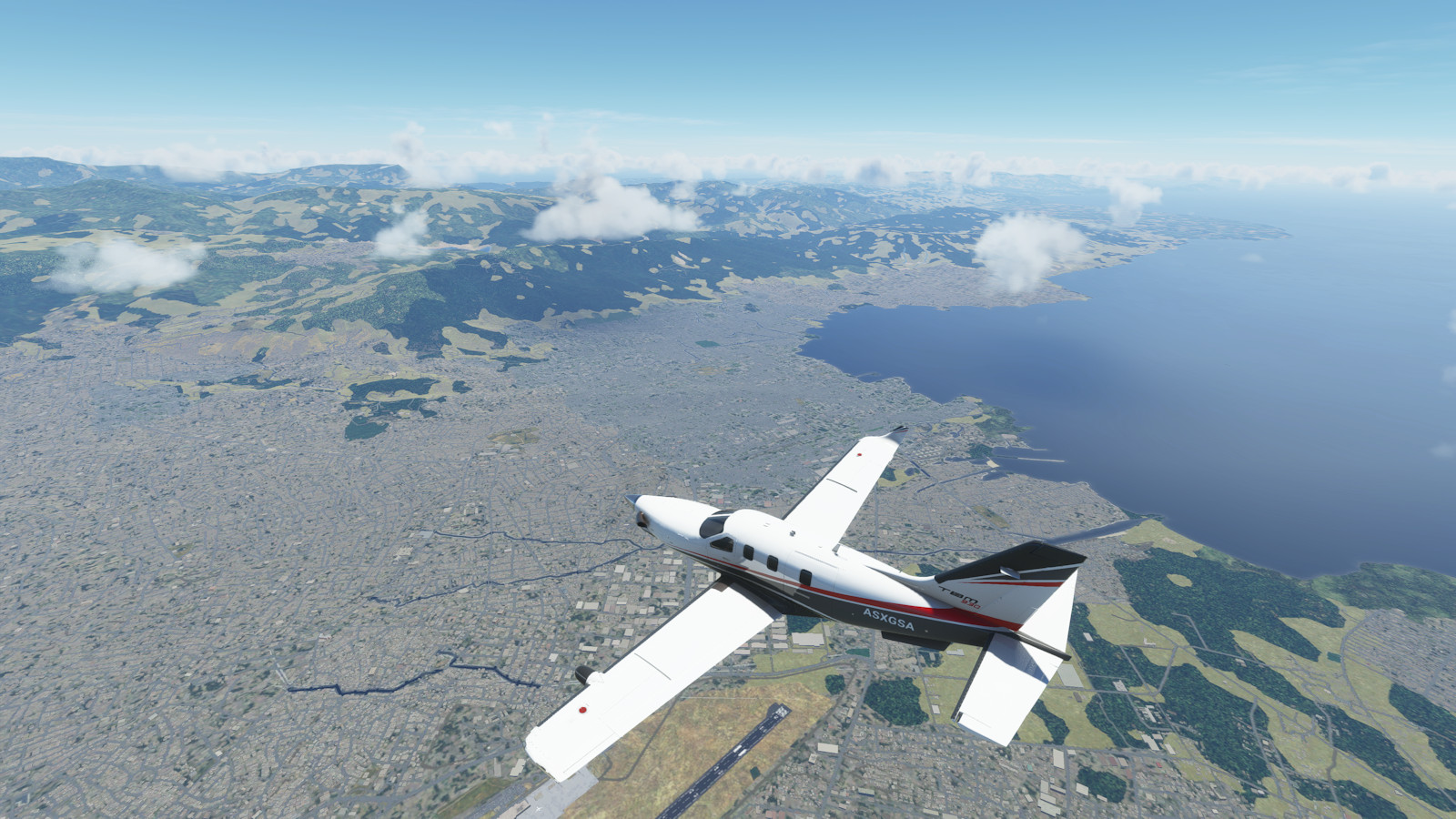
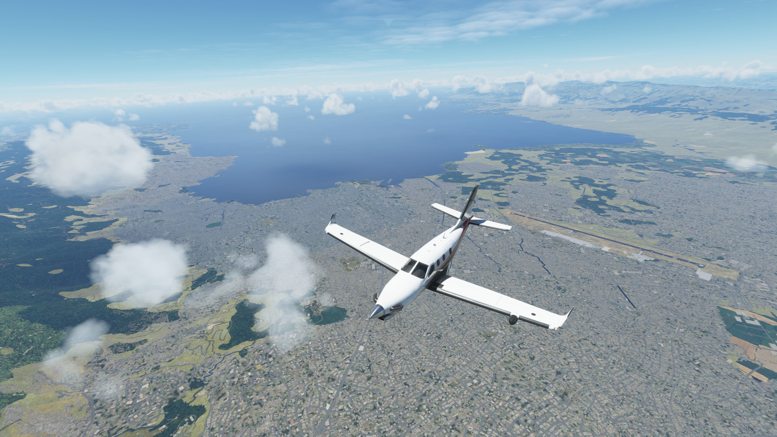
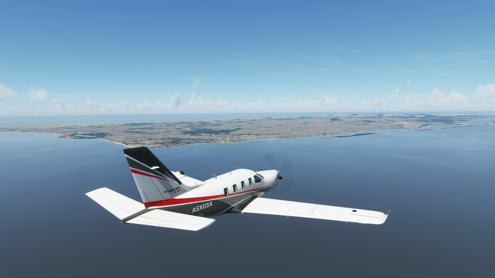
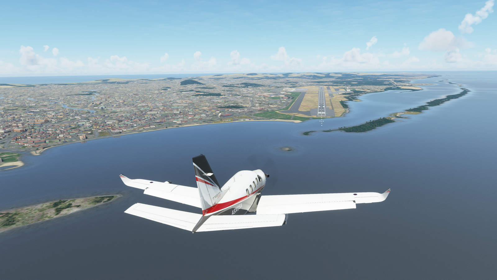
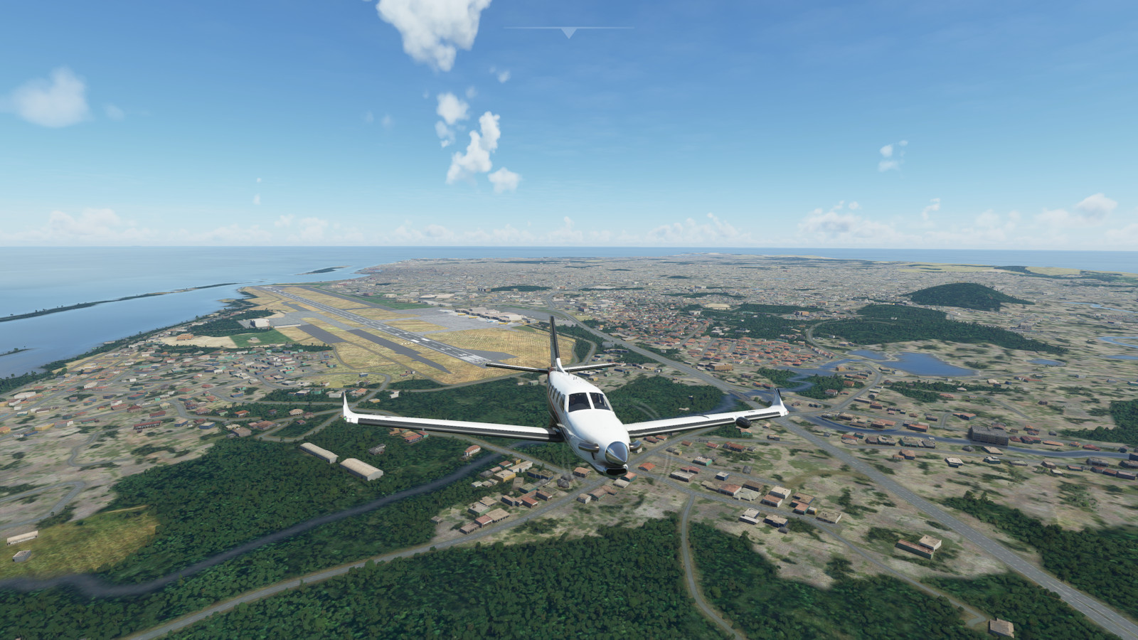
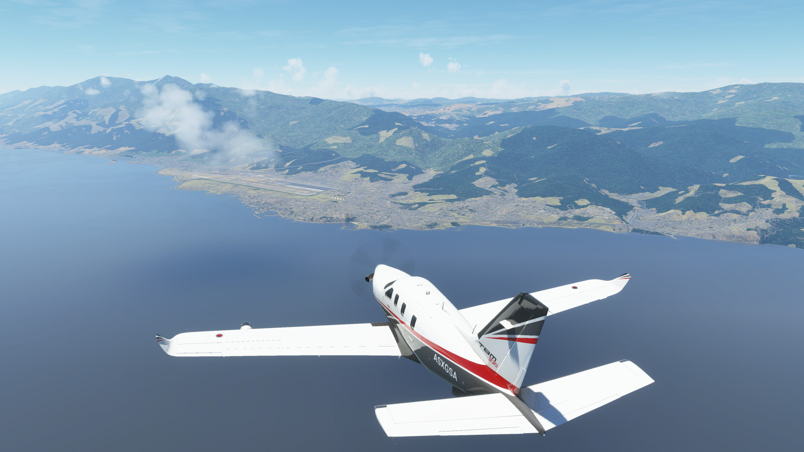
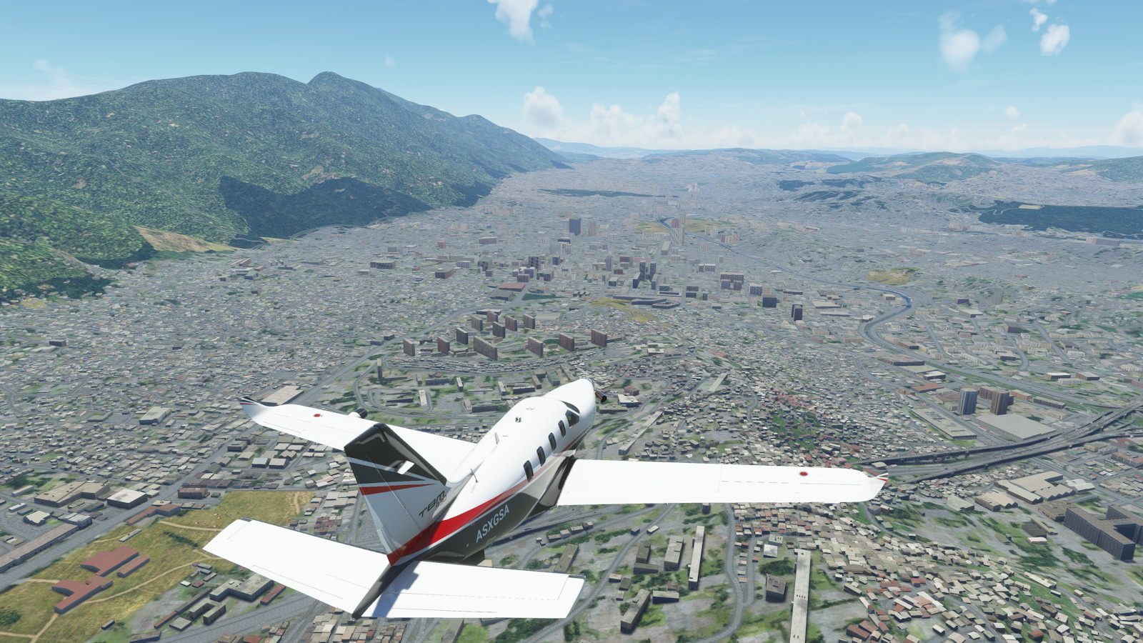
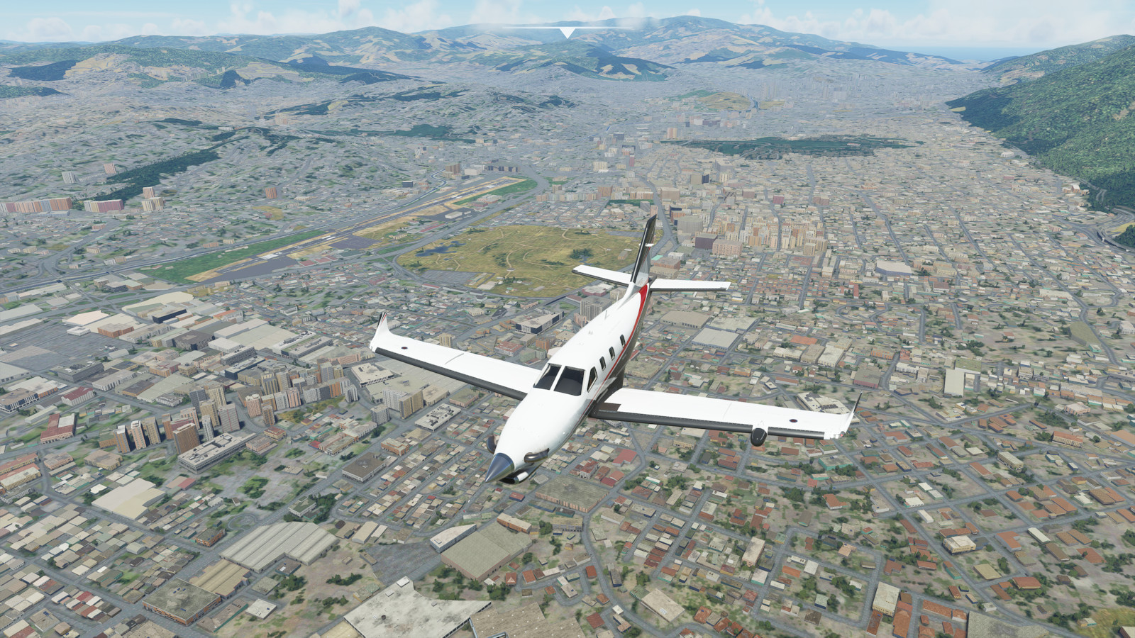
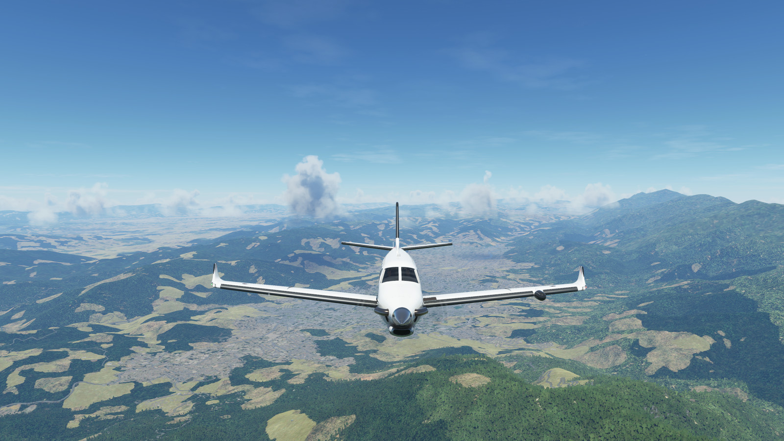
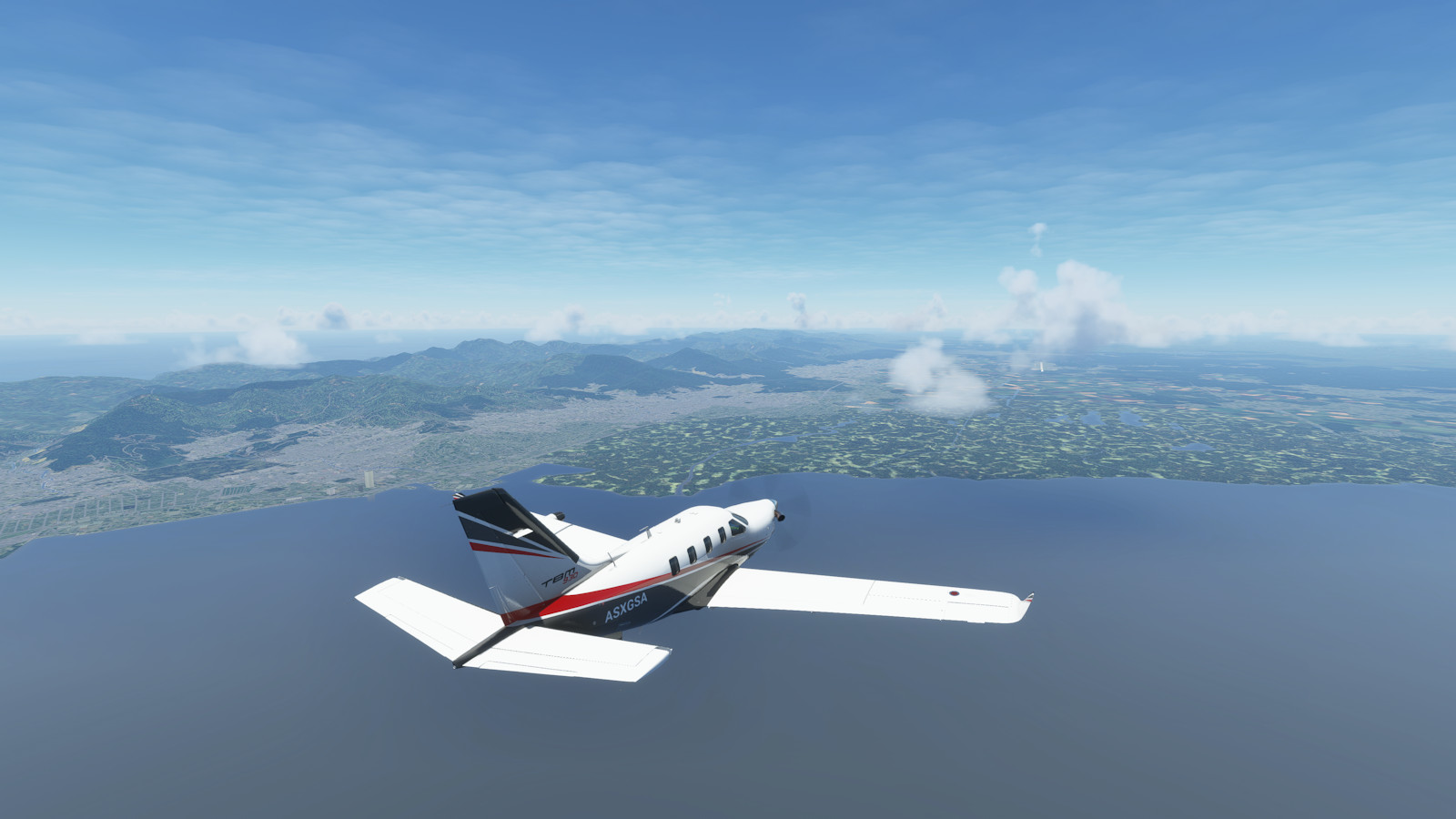
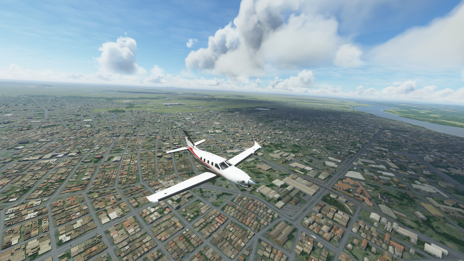
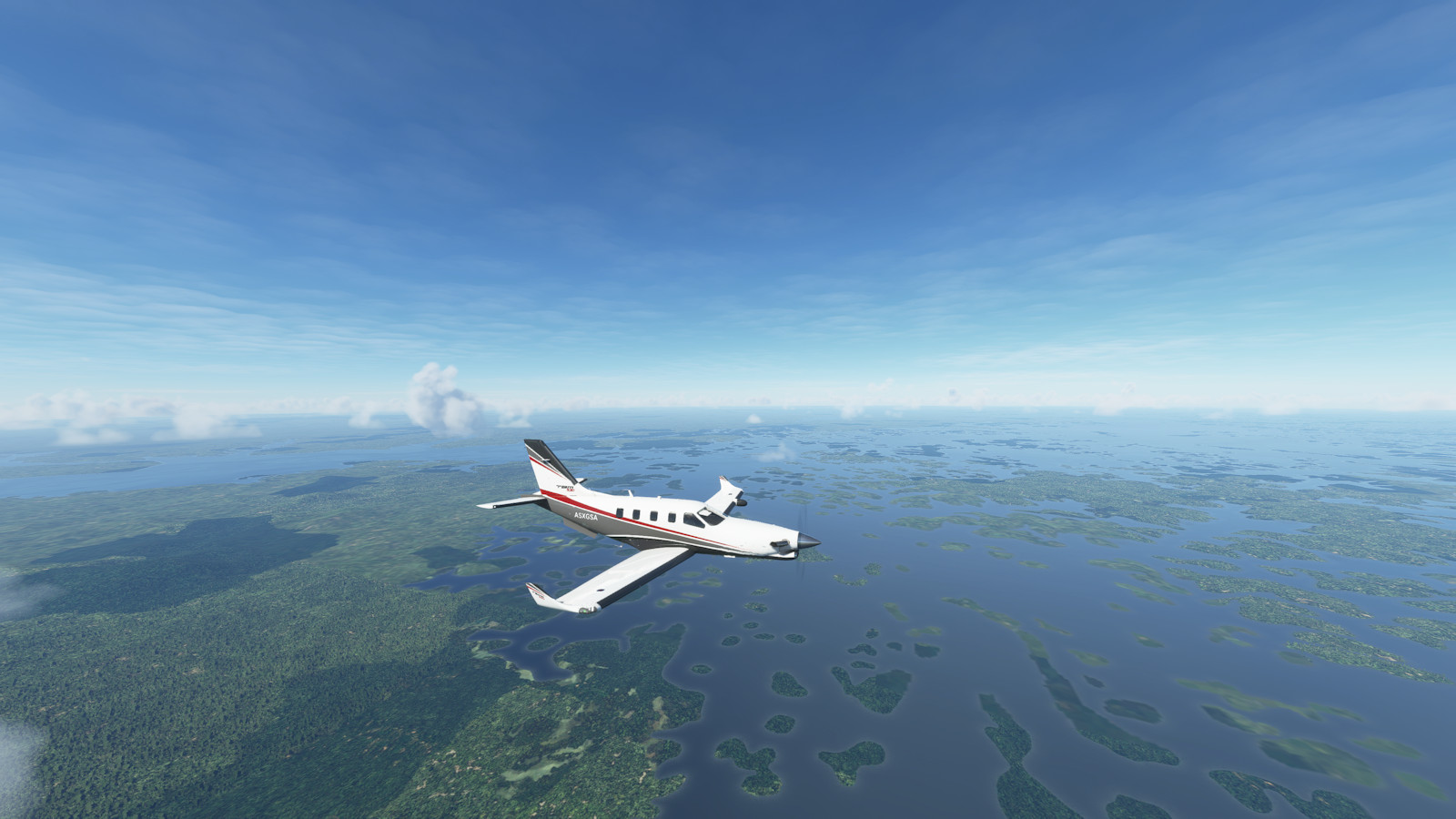
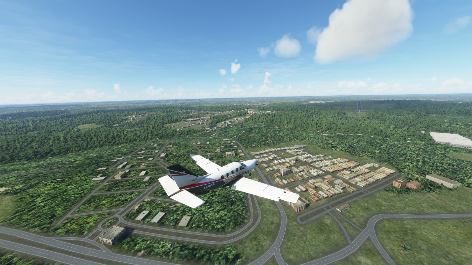
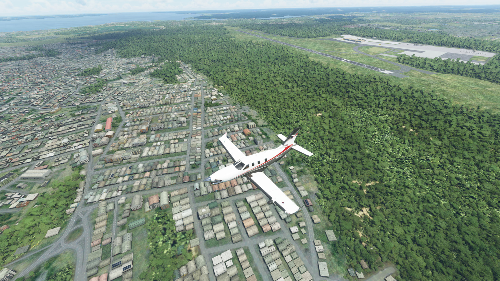
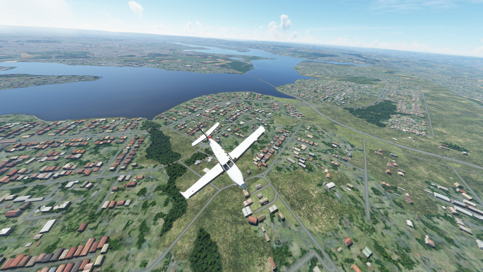
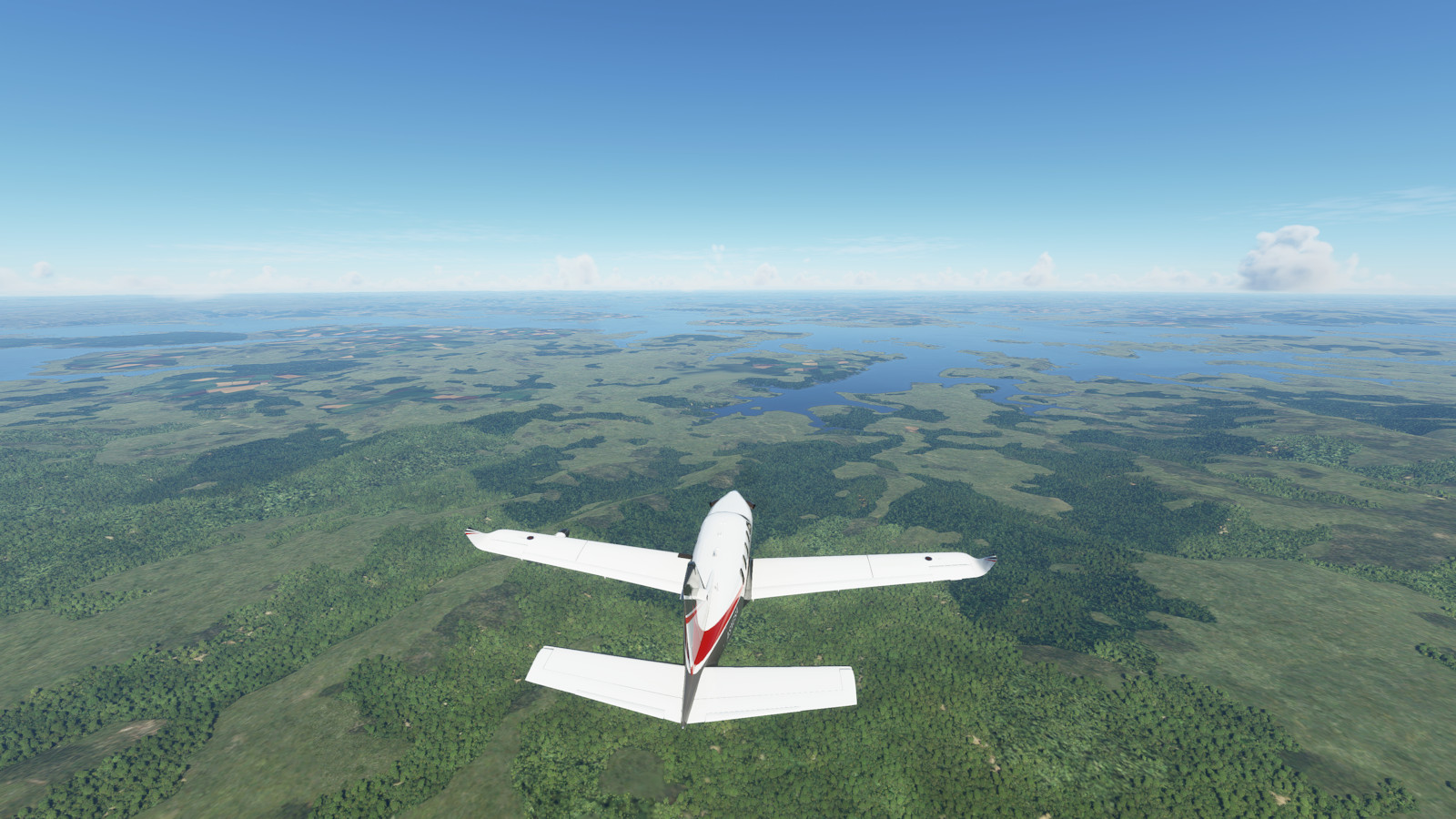
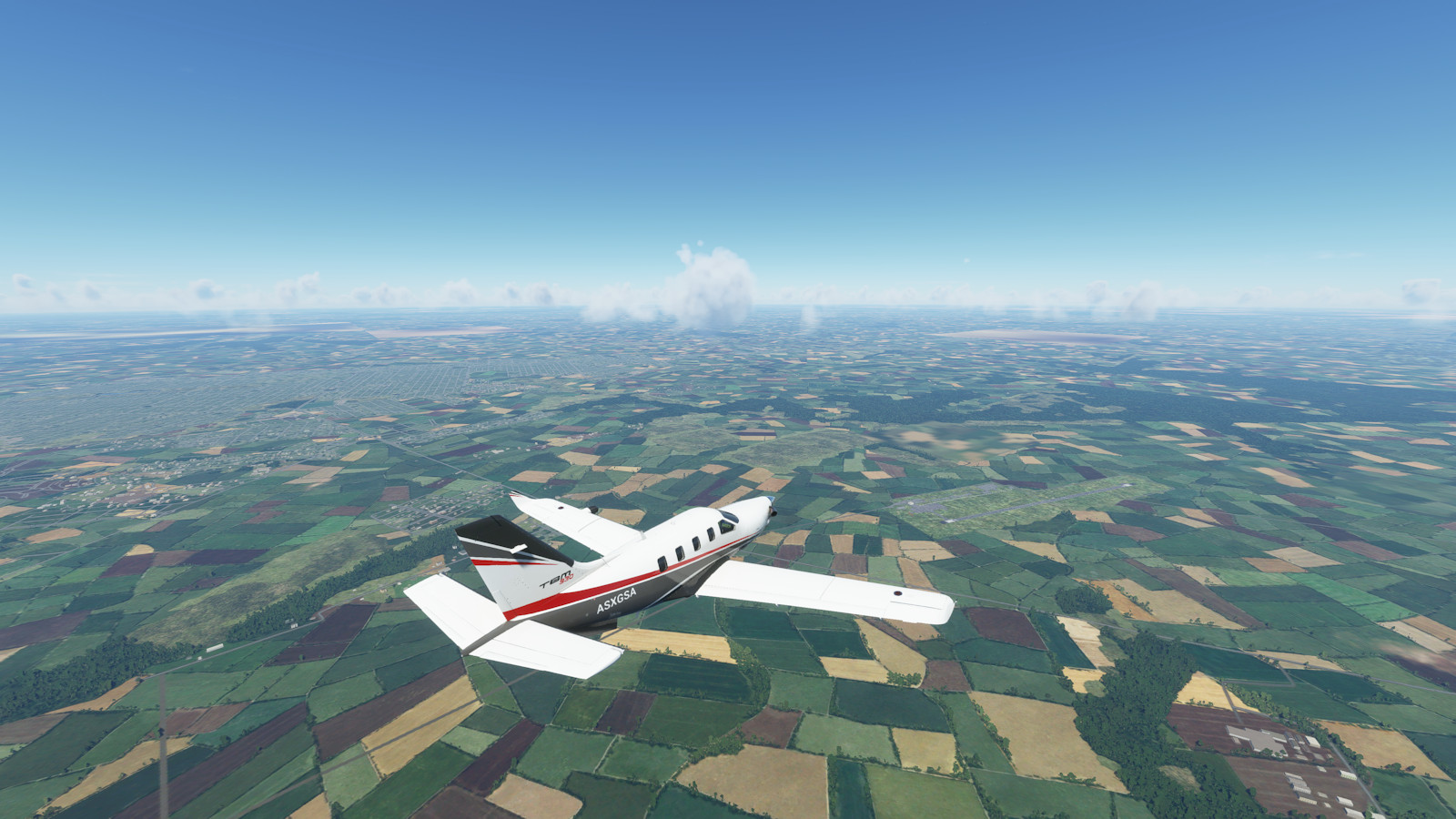
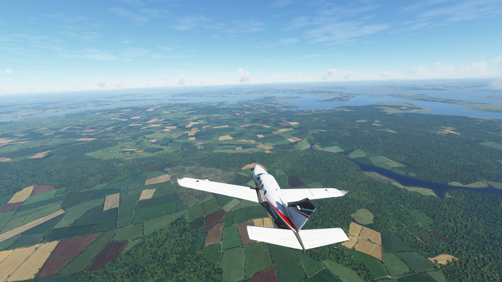
These are highlights from this segment, but you can see the complete collection and larger versions by clicking on a picture.

Morning departure from Coleman A. Young Muni (KDET) Detroit, USA
Flying over Detroit USA and the Detroit River. Windsor Canada is south of Detroit
Flying south, over Windsor, Canada. Behind us to the north is Detroit, USA
Near Ohio State University (KOSU) in Coumbus. That's OSU in the foreground.
seg11 img05
seg11 img05
Crossing some ridges of the Appalachian Mountains
Near Roanoke Regl Woodrum Field (KROA) of West Virginia
Departing Roanoke Regl Woodrum Field (KROA) of West Virginia with the Appalachian Mountains behind
Near Norfolk Naval Air Station (KNGU) Virginia. That's Hampton Roads the big estuary
Over the Elizabeth River Virgina with Oceana Naval Air Station (KNTU) to the left
Over Oceana Naval Air Station (KNTU) with Virginia Beach on the coast of the Atlantic Ocean
seg11 img12
seg11 img12
Landing at First Flight (KFFA) Kill Devil Hills North Carolina. Flight sim nearly out of memory and textures
seg11 img14
seg11 img14
seg11 img15
seg11 img15
Over Wilmington (KILM) North Carolina and the Cape Fear River
Over Charleston South Carolina near Mt Pleasant Regl Faison (KLRO)
A closeup of Charleston South Carolina and four rivers
Over Hilton Head Island (KHXD) South Carolina
Jacksonville Intl (KJAX) Florida
The large city of Jacksonville, Florida
seg11 img23
seg11 img23
Lined up for a landing at Gainesville Rgnl (KGNV) Florida
seg11 img25
seg11 img25
Morning departure from Gainesville Rgnl (KGNV) Florida
Flying to University of Florida with
Flying to University of Florida with "the Swamp" football stadium to the right
seg11 img28
seg11 img28
A view of Lake Okeechobee, largest freshwater lake in Florida
Over Boca Raton (KBCT) Florida with the beautiful Gold Coast beaches on the Atlantic Ocean
seg11 img31
seg11 img31
My former home in the subdivision of Boca Square (under the right wingtip)
The Boca Raton inlet to Lake Boca Raton and the Boca Raton Hotel
The Boca Raton inlet, Lake, and Raton Hotel, Florida on the Atlantic Ocean
Flying over Bimini (MYBS) in the Bahamas
Andros Island Bahamas where some torpedo testing is done
Approaching Lynden Pindling Intl (MYNN) and Nassau, capital of the Bahamas
seg11 img37
seg11 img37
Approaching Stella Maris (MYLS) on Long Island Bahamas. Right on the tropic of Cancer (23° north latitude)
seg11 img39
seg11 img39
Landing at Providenciales Intl (MBPV), Turks and Caicos Islands
seg11 img41
seg11 img41
First sighting of the island of Hispaniola, home to Haiti and the Dominican Republic
Over Port Au Prince Toussaint Intl (MTPP) Haiti. A 7,000ft mountain range to summit
seg11 img44
seg11 img44
seg11 img45
seg11 img45
Landing approach to Reina Beatrix Intl (TNCA) city of Oranjestad, Aruba
seg11 img47
seg11 img47
seg11 img48
seg11 img48
seg11 img49
seg11 img49
seg11 img50
seg11 img50
Over  Caracas Simon Bolivar Intl (SVMI) which is in Catia La Mar, Venuzuela. Caracas is behind that mountain
Over Caracas Simon Bolivar Intl (SVMI) which is in Catia La Mar, Venuzuela. Caracas is behind that mountain
Diverting over Caracas to view the capital of VenezuelaS
Diverting over Caracas to view the capital of Venezuela
seg11 img53
seg11 img53
seg11 img54
seg11 img54
Approaching Piarco Intl (TTPP) and the mountains of Port of Spain, Trinidad
seg11 img56
seg11 img56
seg11 img57
seg11 img57
Over Cheddi Jagan Intl (SYCJ) Georgetown, Guyana. That is the Demerara River
Over Boa Vista Intl (SBBV) Brazil and the Rio Branco
Over Boa Vista Intl (SBBV) Brazil and the Rio Branco. Equator crossing #5
seg11 img60
seg11 img60
The Lago de Balbina
The Lago de Balbina
Approaching Eduardo Gomes (SBEG) in Manaus Brazil
seg11 img63
seg11 img63
Departing Manaus Brazil over Ponta Pelada (SBMN) at the confluence of the Negro and Solimões rivers.
seg11 img65
seg11 img65
seg11 img66
seg11 img66
seg11 img67
seg11 img67
Departing Presidente Juscelino Kubitsch (SBBR) Brasilia , capital of Brazil
seg11 img69
seg11 img69
seg11 img70
seg11 img70
seg11 img71
seg11 img71
seg11 img72
seg11 img72
Approaching Guanabara Bay and Rio de Janeiro, Brazil
Landing approach for Santos-Dumont (SBRJ) Rio de Janeiro, Brazil. The mountain is called Sugar Loaf (Pão de Açúcar)

More Details

Select a text link to see more details from each segment of the trip.

Next segment features many major cities of eastern South America, a long distance trip to Stanley Falkland Islands/Malvinas, a visit to Antarctica, and a return northward up the western side of Chile.

Thanks for visiting.